Langfossen
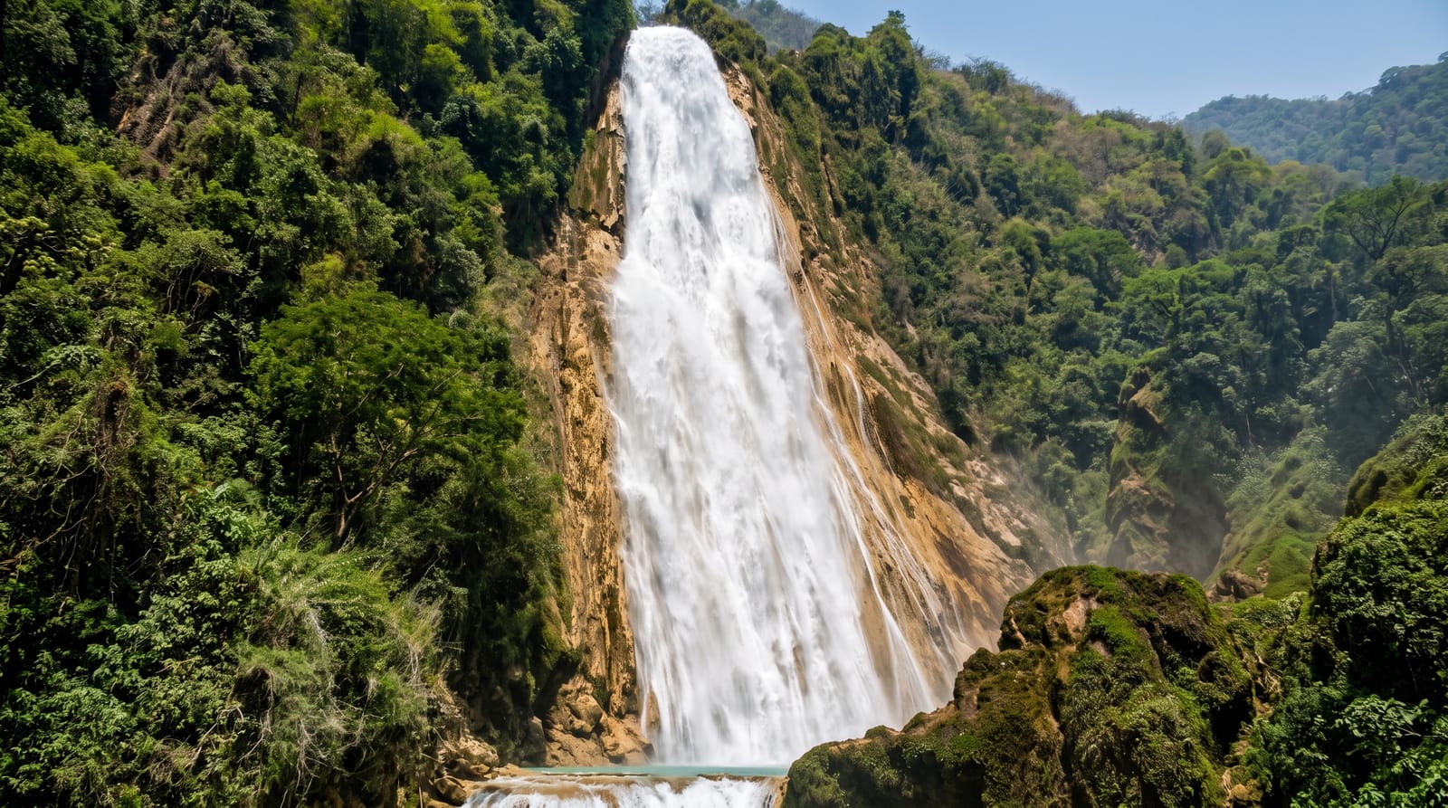
An unregulated waterfall dropping 612 metres straight into the Akrafjord beside the road, with no dam upstream.
Updated 21 October 2026

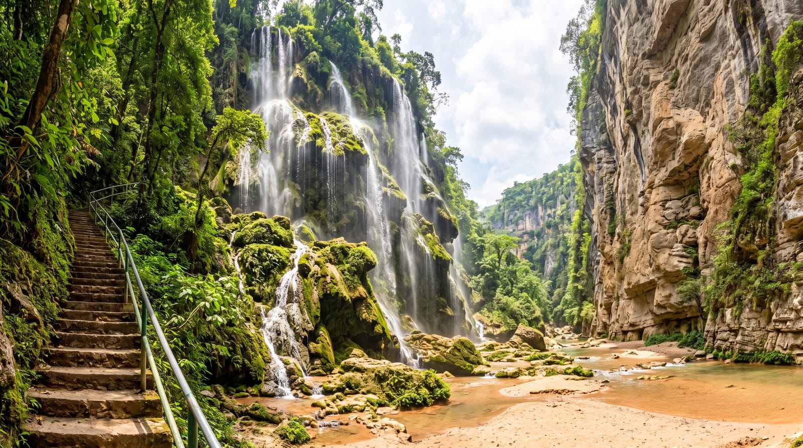
AI illustration
Langfossen falls 612 metres from the plateau into the Akrafjord in a single continuous cascade running down a steep rock face rather than free-falling, and because the river above it has never been dammed for hydropower it runs at natural volume, which is increasingly rare among large Norwegian waterfalls. The road passes at the foot with a lay-by and a view straight up the whole drop, and spray reaches the carriageway in high water. A steep marked path climbs beside the fall to the top for those who want it, taking about two hours and gaining the full height. Boat trips on the Akrafjord approach from the water, which gives the scale better than the road does.
History
The waterfall drops about 612 metres into Åkrafjorden and is one of the few in Norway never used for hydroelectric power, so it still runs in its natural state. It was voted the most beautiful waterfall in the world in 2006, and in March 2011 CNN/Budget Travel named it one of the world's ten most beautiful waterfalls (Wikipedia, Langfossen).
The landscape
- The 612-metre cascade - a continuous unbroken run down the rock face.
- The roadside view - a lay-by directly at the foot of the fall.
- The unregulated flow - natural volume with no dam upstream.
- The climbing path - a steep marked route beside the water to the top.
When to go
May to July for the fullest flow from snowmelt, when the noise and spray are strongest; it runs year-round but thins by late summer. The climbing path is unsafe in ice and unmaintained in winter.
What to expect
The lay-by is small and on a road with fast traffic. Spray soaks the viewpoint in high water. The path to the top is steep, exposed and slippery, and it is not a casual walk.
Nearby
Etne and the Akrafjord road run west; Sauda and the Ryfylke fjords lie south.
Key facts
Source: Wikidata, item Q1805231, read on 18 October 2026.
What to pack for Langfossen
Chosen from what this place is for. Tap a kit for the full checklist.
- Broken-in walking shoes or boots - Grip and ankle support matter more than looks; never hike in brand-new boots. Find on Amazon
- Layers + a waterproof shell - Mountain weather turns fast; a packable rain jacket saves the day. Find on Amazon
- Daypack with rain cover - 20-30 litres holds water, snacks, layers and a first-aid kit. Find on Amazon
- Offline maps + a power bank - Download the trail before you lose signal; carry backup charge. Find on Amazon
Some links on this page are Amazon affiliate links - if you buy through them we may earn a small commission at no extra cost to you.
All packing kitsPlan your trip
Where to start if Langfossen is going on the list.
Booking links on this page are affiliate links - if you book through them we may earn a small commission at no extra cost to you. It never changes what we write about a place.
Opening times, ticket prices and seasonal closures change - check the official source before you go: official site.