Folgefonna National Park
Norway's third-largest glacier spread across a peninsula between fjord arms, with a summer ski centre on the ice.
Updated 21 October 2026

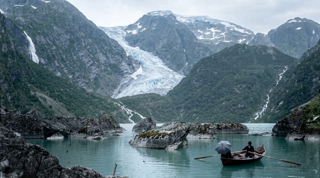
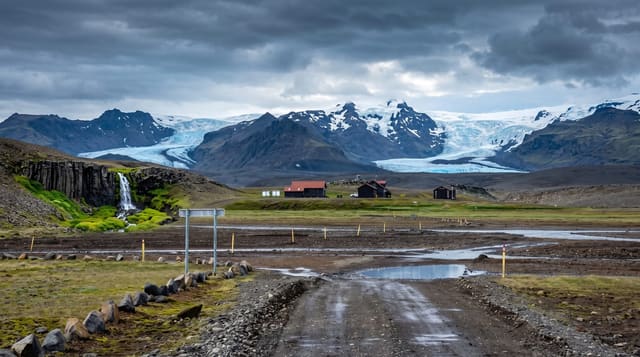
AI illustration
Folgefonna is an ice cap covering about 168 square kilometres on a peninsula between arms of the Hardangerfjord, split into three separate glaciers, and the national park established in 2005 protects it along with the valleys running down to the water. Its arms reach low in several places, which is why Buarbreen and Bondhusbreen are reachable on foot in a morning. On the northern glacier, the Fonna summer ski centre operates from a road that climbs from Jondal, open roughly from May into August, one of the few places in Europe to ski on snow in July. Guided glacier walks run from several bases, and the park's valleys hold waterfalls, old summer farms and paths that predate the roads.
History
The name joins folge, "thin layer of snow", and fonn, "mass of snow". Folgefonna, three glaciers together covering 168 square kilometres, is the third largest ice cap in Norway, and the national park was opened by Queen Sonja on 14 May 2005 (Wikipedia, Folgefonna National Park).
Highlights
- The ice cap - a glacier of about 168 square kilometres across the plateau.
- The low-reaching arms - Buarbreen and Bondhusbreen accessible from the valleys.
- The summer ski centre - lifts running on the glacier from late spring.
- The valley trails - old paths, waterfalls and summer farms below the ice.
When to go
May to August for glacier skiing; June to September for hiking, when the valley trails are clear. The mountain roads to the ice open late and close early in the season, and conditions change quickly.
Good to know
Going onto the glacier without a guide and equipment is dangerous because of crevasses, and unroped walking on the ice is strongly discouraged. Roads to the higher points are narrow, toll-charged in places and weather-dependent. The ice has retreated markedly and continues to.
Nearby
Odda, Rosendal and Jondal ring the peninsula; the Hardangerfjord arms lie on both sides.
Key facts
Source: Wikidata, item Q164798, read on 18 October 2026.
What to pack for Folgefonna National Park
Chosen from what this place is for. Tap a kit for the full checklist.
- Broken-in walking shoes or boots - Grip and ankle support matter more than looks; never hike in brand-new boots. Find on Amazon
- Binoculars - The single best wildlife tool - even a compact pair transforms a sighting. Find on Amazon
- Warm base layers - Merino or synthetic against the skin - never cotton, which chills when damp. Find on Amazon
- Layers + a waterproof shell - Mountain weather turns fast; a packable rain jacket saves the day. Find on Amazon
Some links on this page are Amazon affiliate links - if you buy through them we may earn a small commission at no extra cost to you.
All packing kitsPlan your trip
Where to start if Folgefonna National Park is going on the list.
Booking links on this page are affiliate links - if you book through them we may earn a small commission at no extra cost to you. It never changes what we write about a place.
Opening times, ticket prices and seasonal closures change - check the official source before you go: official site.