Bondhusvatnet
A green lake below the Folgefonna ice, reached by an easy hour's walk on an old road built to carry glacier ice to Europe.
Updated 4 September 2026

AI illustration
Bondhusvatnet lies in a steep valley under the western edge of Folgefonna, its water the pale jade of glacier melt, with the Bondhusbreen ice arm visible at the head. The walk in is easy by Norwegian standards, about forty-five minutes on a wide gravel track that climbs gently through birch and boulder, and the track has a history: it was built in the nineteenth century to bring blocks of glacier ice down to the fjord, where they were shipped to Britain and the continent for refrigeration before mechanical cooling existed. Reflections of the mountains in the still lake are the standard photograph, best on a calm morning. The path continues past the lake toward the glacier front for those going further.
Highlights
- The jade lake - glacier meltwater under steep valley walls.
- The ice-trade road - the old gravel track built to haul glacier ice.
- Bondhusbreen - the glacier arm at the head of the valley.
- The reflections - mountains mirrored in still water on calm mornings.
When to go
June to September; early morning gives the calmest water for reflections and the fewest people. Snow can linger in the upper valley into early summer, and autumn brings colour to the birch.
Good to know
The track is easy but the last section toward the glacier is rougher, and going onto the ice is unsafe without equipment. Parking at Sundal is limited and charged. Cloud in this valley is frequent and flattens both the colour and the reflections.
Nearby
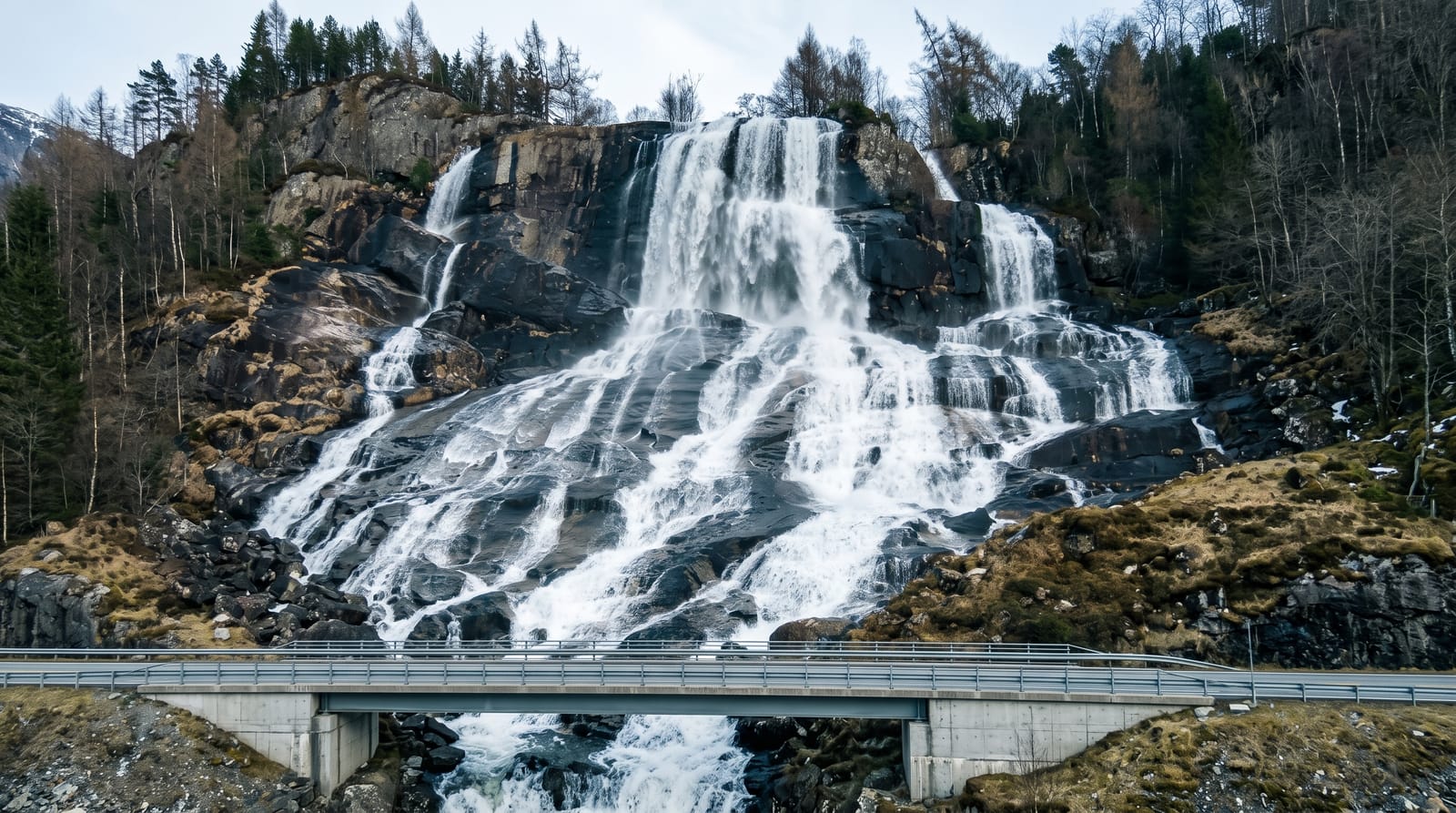
Furebergfossen is along the fjord road; Rosendal manor and the Folgefonna arms are nearby.
Key facts
Source: Wikidata, item Q107724110, read on 18 October 2026.
What to pack for Bondhusvatnet
Chosen from what this place is for. Tap a kit for the full checklist.
- Broken-in walking shoes or boots - Grip and ankle support matter more than looks; never hike in brand-new boots. Find on Amazon
- Warm base layers - Merino or synthetic against the skin - never cotton, which chills when damp. Find on Amazon
- Layers + a waterproof shell - Mountain weather turns fast; a packable rain jacket saves the day. Find on Amazon
- An insulated + windproof jacket - A down or synthetic layer under a hard shell handles most cold. Find on Amazon
Some links on this page are Amazon affiliate links - if you buy through them we may earn a small commission at no extra cost to you.
All packing kitsPlan your trip
Where to start if Bondhusvatnet is going on the list.
Booking links on this page are affiliate links - if you book through them we may earn a small commission at no extra cost to you. It never changes what we write about a place.
Opening times, ticket prices and seasonal closures change - check the official source before you go: official site.