Latefossen
A twin waterfall that thunders under an old stone bridge right beside the road - one of the most dramatic roadside falls in Norway.
Updated 16 October 2026

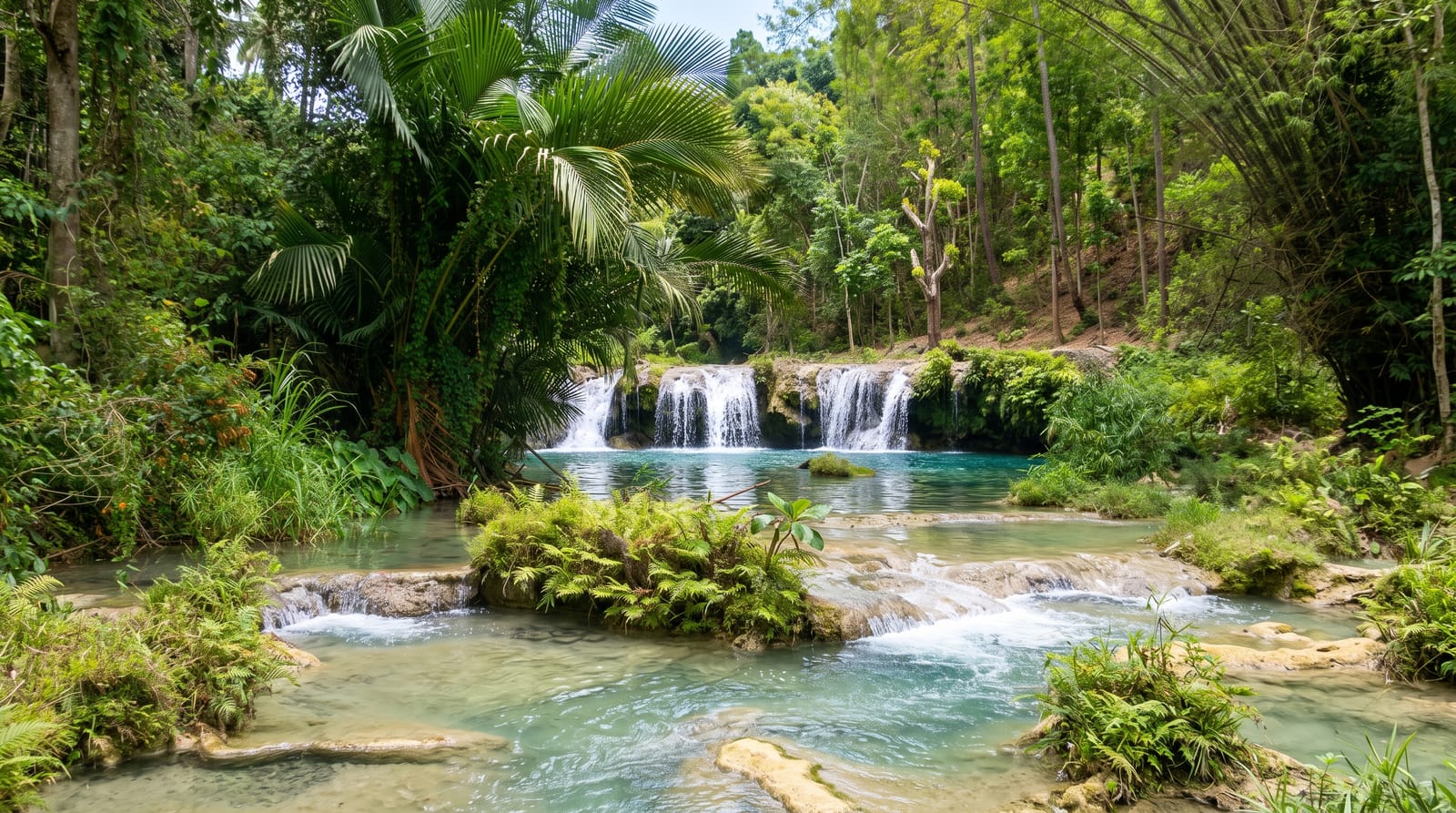
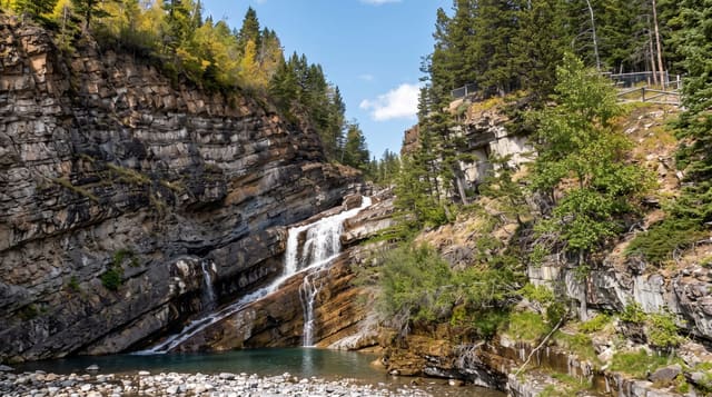
AI illustration
Latefossen is a dramatic double waterfall where two streams crash together and pour under the arches of an old stone bridge right beside the road near Odda. The bridge crosses through the spray, so drivers pass almost within the thundering falls, making it one of the most photographed roadside cascades in the country.
Background
The waterfall belongs to Ullensvang Municipality in Vestland County and drops 165 metres in total. Its water leaves the lake Lotevatnet as two separate streams, which merge partway down and then pass beneath Norwegian National Road 13, a road built in 1867-69, at a stone bridge of six arches. The falls sit at an elevation of 335 metres, with a longest single drop of 52 metres, an average width of 23 metres and a run of 274 metres. The average flow is 17 m3/s. The photographer Knud Knudsen captured the two joining streams around 1900.
Source: Wikipedia, "Låtefossen"
The landscape
- The twin falls - the two streams meeting and pouring under the bridge.
- The old stone bridge - the arched bridge crossing through the spray.
- The spray - the drenching mist that soaks the road and viewers.
- The roadside view - the falls seen from the layby and the bridge.
When to go
Late spring and early summer for the falls at their most thunderous from snowmelt; the flow eases later in summer. Any clear day suits the quick stop.
Practical notes
It is a roadside photo stop rather than a place to spend time, seen in minutes. The spray genuinely soaks the road, bridge and anyone standing close, so expect to get wet. Parking is limited and the road is busy in summer, so take care.
Nearby
Odda and the Trolltunga trailhead are close; the Hardangerfjord is nearby.
Key facts
Source: Wikidata, item Q37387, read on 18 October 2026.
What to pack for Latefossen
Chosen from what this place is for. Tap a kit for the full checklist.
- Broken-in walking shoes or boots - Grip and ankle support matter more than looks; never hike in brand-new boots. Find on Amazon
- Layers + a waterproof shell - Mountain weather turns fast; a packable rain jacket saves the day. Find on Amazon
- Daypack with rain cover - 20-30 litres holds water, snacks, layers and a first-aid kit. Find on Amazon
- Offline maps + a power bank - Download the trail before you lose signal; carry backup charge. Find on Amazon
Some links on this page are Amazon affiliate links - if you buy through them we may earn a small commission at no extra cost to you.
All packing kitsPlan your trip
Where to start if Latefossen is going on the list.
Booking links on this page are affiliate links - if you book through them we may earn a small commission at no extra cost to you. It never changes what we write about a place.
Opening times, ticket prices and seasonal closures change - check the official source before you go: official site.