Liptovská Mara
A large reservoir in Liptov built in the 1970s, drowning thirteen villages, now used for watersports.
Updated 16 October 2026
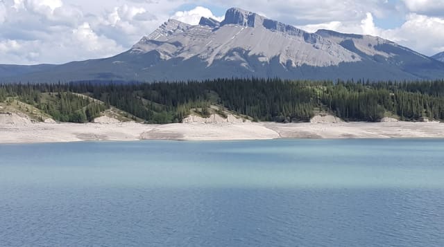
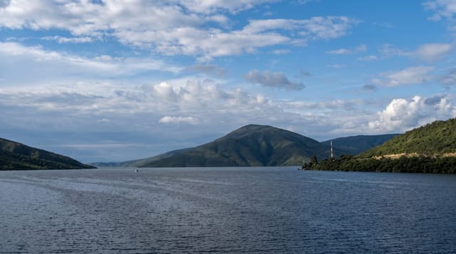
Liptovská Mara was filled in 1975 by damming the Váh across the Liptov basin, and thirteen villages went under the water, their populations moved and their churches mostly demolished first. The tower of the church at Liptovská Mara village stood above the water for years. It is now the largest reservoir in Slovakia by volume and the main watersports centre, with sailing, windsurfing and marinas, and the Tatras standing behind it.
Background
Work on the dam ran from 1965 to 1975, and it takes its name from one of the villages that went under the water. Filling the valley also meant moving a major railway and a road. The reservoir spreads over 22 km², reaches a maximum depth of 45 m and holds 360 million m³. Its main job is flood prevention, though it produces electricity as well. On a hill above the dam stands Havránok, a Celtic oppidum that has been reconstructed. Today the dam also serves as a recreational site.
Source: Wikipedia, "Liptovská Mara"
Highlights
- The reservoir - the largest body of stored water in Slovakia.
- The drowned villages - thirteen settlements under the water since 1975.
- The Tatra backdrop - the mountains rising behind the northern shore.
- The watersports - sailing and windsurfing from marinas along the shore.
When to go
June to September is the watersports season and the only time the water is warm enough. Levels drop through the autumn and expose the shoreline. Winter is bleak and windy.
Practical notes
Water levels vary a great deal and low years leave wide mud margins. The water is cold even in high summer. The drowned villages are not visible except in exceptional drought.
Nearby
Liptovsky Mikulas is east, and the Low Tatras are south.
Key facts
Source: Wikidata, item Q1130334, read on 18 October 2026.
What to pack for Liptovská Mara
Chosen from what this place is for. Tap a kit for the full checklist.
- Broken-in walking shoes or boots - Grip and ankle support matter more than looks; never hike in brand-new boots. Find on Amazon
- Quick-dry clothing - Board shorts or synthetics that shrug off spray and dry fast. Find on Amazon
- Layers + a waterproof shell - Mountain weather turns fast; a packable rain jacket saves the day. Find on Amazon
- Secure water shoes or reef boots - Grip on slippery launches and protection on rocky shores. Find on Amazon
Some links on this page are Amazon affiliate links - if you buy through them we may earn a small commission at no extra cost to you.
All packing kitsPlan your trip
Where to start if Liptovská Mara is going on the list.
Booking links on this page are affiliate links - if you book through them we may earn a small commission at no extra cost to you. It never changes what we write about a place.
Opening times, ticket prices and seasonal closures change - check the official source before you go: official site.