Abraham Lake
A reservoir where methane rising from the bed freezes into stacked white discs under clear ice.
Updated 19 October 2026
AI illustration
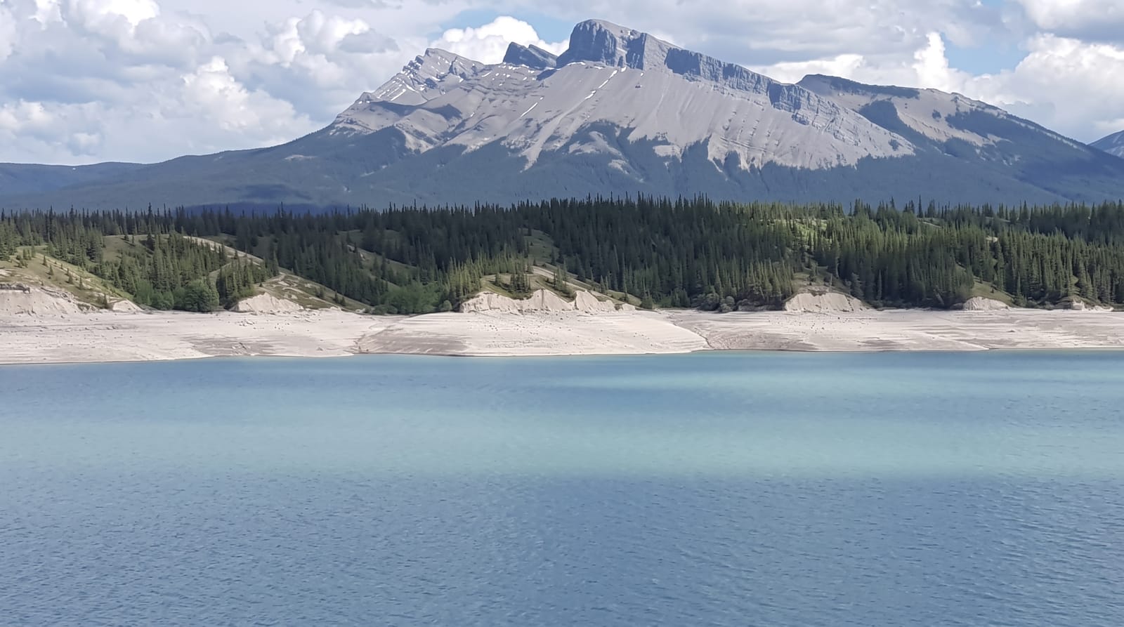
Abraham Lake was created in 1972 by the Bighorn Dam and floods a valley of drowned vegetation. Bacteria decomposing that plant matter on the bed release methane, which rises in bubbles; when the surface freezes early and the air stays cold and still, the bubbles are trapped and stack under the ice in white columns of discs, largest near the bottom and smaller towards the surface. The effect needs clear ice, which means cold before snow, and it does not appear every year. Wind scours the lake, which helps keep it clear. The turquoise summer colour comes from glacial rock flour.
History
The Calgary Power Company, now TransAlta, created the lake in 1972 with the Bighorn Dam, which flooded the Kootenay Plains, including the cabins, graves and pastures of the Bighorn band of the Stoney Nakoda, without any study of its effects or public hearings. In February 1972 the government of Alberta held a contest among students to name it, and it was named after Silas Abraham, about 1870-1964, a Stoney Nakoda farmer and hunter who had lived on the Kootenay Plains (Wikipedia, Abraham Lake).
The landscape
- The frozen bubbles - stacked methane discs suspended in clear ice.
- The clear ice - wind-scoured surface with visibility metres down.
- The turquoise summer water - glacial flour colouring the reservoir.
- The David Thompson corridor - the mountain highway along the shore.
When to go
January to early March, and only in a year when cold arrived before heavy snow; some winters produce no visible bubbles at all. Summer visits show a turquoise lake and nothing else.
Good to know
The ice is genuinely dangerous, with pressure cracks and thin sections, and people have gone through; local guides know the safe areas. The bubbles do not form every winter. Wind chill on the exposed lake is severe.
Nearby
Nordegg lies east; the Icefields Parkway is west.
Key facts
Source: Wikidata, item Q1993660, read on 18 October 2026.
What to pack for Abraham Lake
Chosen from what this place is for. Tap a kit for the full checklist.
- Broken-in walking shoes or boots - Grip and ankle support matter more than looks; never hike in brand-new boots. Find on Amazon
- Warm base layers - Merino or synthetic against the skin - never cotton, which chills when damp. Find on Amazon
- Layers + a waterproof shell - Mountain weather turns fast; a packable rain jacket saves the day. Find on Amazon
- An insulated + windproof jacket - A down or synthetic layer under a hard shell handles most cold. Find on Amazon
Some links on this page are Amazon affiliate links - if you buy through them we may earn a small commission at no extra cost to you.
All packing kitsPlan your trip
Where to start if Abraham Lake is going on the list.
Booking links on this page are affiliate links - if you book through them we may earn a small commission at no extra cost to you. It never changes what we write about a place.
Opening times, ticket prices and seasonal closures change - check the official source before you go: official site.


