Lac de Serre-Poncon
A reservoir that drowned two villages, leaving a chapel on a knoll that becomes an island at high water.
Updated 19 October 2026
AI illustration
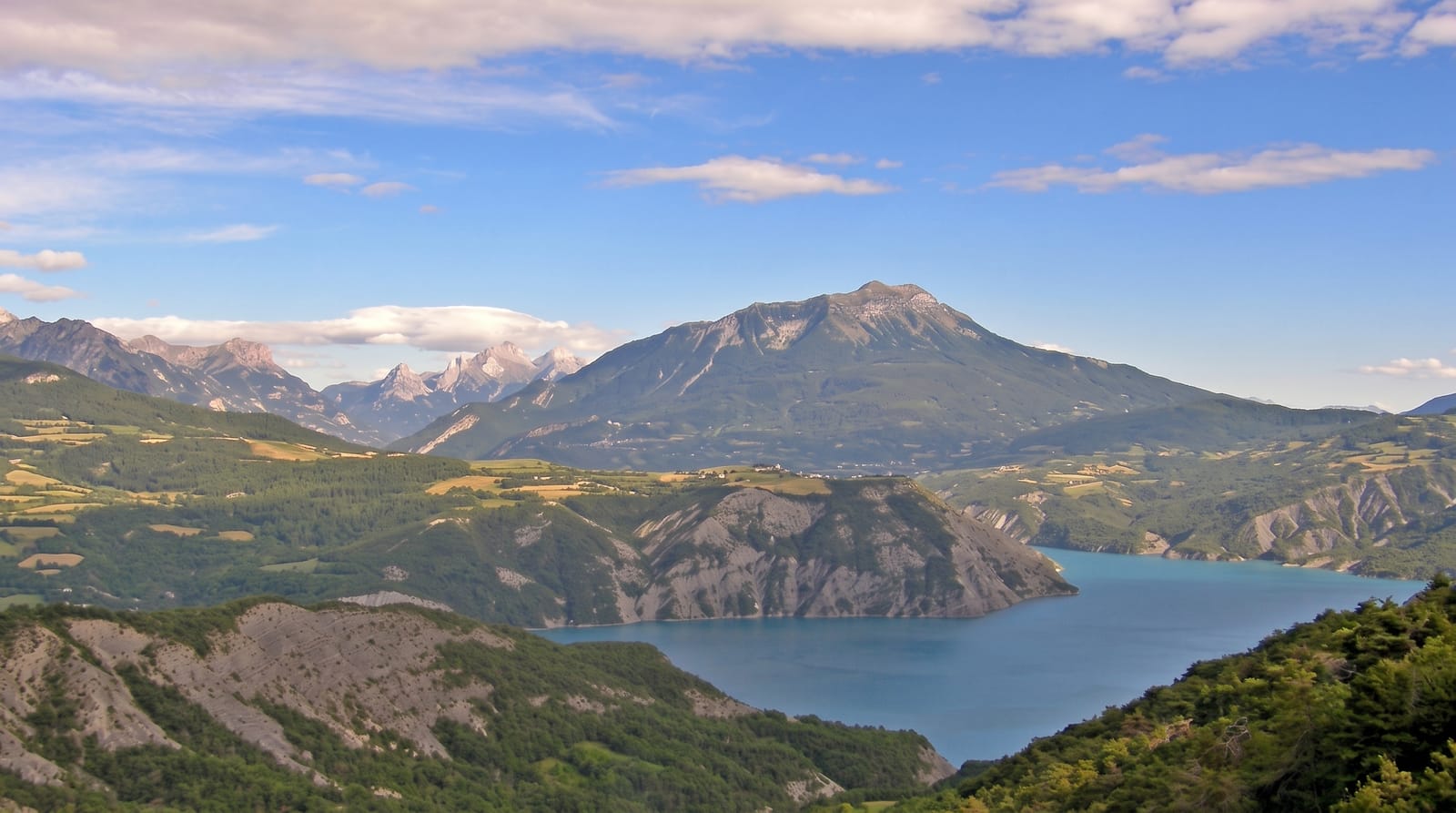
The dam at Serre-Poncon was finished in 1961 to control the Durance, which had a history of destructive floods, and to generate power and irrigate lower Provence. It is an earth dam about a hundred and twenty-three metres high, and the lake behind it holds around a billion cubic metres across roughly twenty-eight square kilometres. Two villages, Savines and Ubaye, were submerged; Savines was rebuilt above the water. The chapel of Saint-Michel stood on a knoll that is now a low island, or a peninsula when levels drop, and it has become the lake's emblem. The water is a strong turquoise from glacial sediment.
History
The lake was created to control the Durance after disastrous floods in 1843 and 1856: first proposed in 1895, the earth dam, 123 metres high, was built from 1955 and completed by 1961, moving about 3,000,000 cubic metres of material, and as the valley filled it drowned several villages, the subject of Jean Giono's film of 1958. Besides its own 380 MW power station, the reservoir regulates the water for 15 more hydroelectric plants along the Durance and Verdon with a total capacity of 2,000 MW, and irrigates 1,500 km² of land. The Chapelle Saint-Michel, built on a hill in the 12th century, destroyed in 1692 by the army of Victor Amadeus II of Savoy and rebuilt soon after, was condemned when the dam was built but survived on what became an island (Wikipedia, Lac de Serre-Ponçon).
What you'll find
- The Saint-Michel chapel - a lone chapel on an islet in the lake.
- The turquoise water - colour from suspended glacial sediment.
- The dam - a large earth dam with a viewpoint and museum.
- The rebuilt Savines - a 1960s village replacing the drowned one.
When to go
June to September for swimming and water sports; levels are highest in early summer and drawn down through autumn, which changes the shoreline considerably. Winter is cold and quiet.
Things to know
Water level varies by many metres through the year, so beaches and the chapel islet look different by season. Winds pick up in the afternoon, which suits sailing and not swimming. Roads around the lake are busy in August.
Nearby
Embrun lies northeast; the Ecrins park is north.
Key facts
Source: Wikidata, item Q1799634, read on 18 October 2026.
What to pack for Lac de Serre-Poncon
Chosen from what this place is for. Tap a kit for the full checklist.
- Broken-in walking shoes or boots - Grip and ankle support matter more than looks; never hike in brand-new boots. Find on Amazon
- Reef-safe sunscreen - High SPF that will not bleach the coral you are swimming over. Find on Amazon
- Layers + a waterproof shell - Mountain weather turns fast; a packable rain jacket saves the day. Find on Amazon
- Quick-dry towel - A microfibre towel packs small and dries in minutes. Find on Amazon
Some links on this page are Amazon affiliate links - if you buy through them we may earn a small commission at no extra cost to you.
All packing kitsPlan your trip
Where to start if Lac de Serre-Poncon is going on the list.
Booking links on this page are affiliate links - if you book through them we may earn a small commission at no extra cost to you. It never changes what we write about a place.
Opening times, ticket prices and seasonal closures change - check the official source before you go: official site.