Ecrins National Park
A high-mountain park with a hundred and fifty glaciers and one summit over four thousand metres.
Updated 12 October 2026
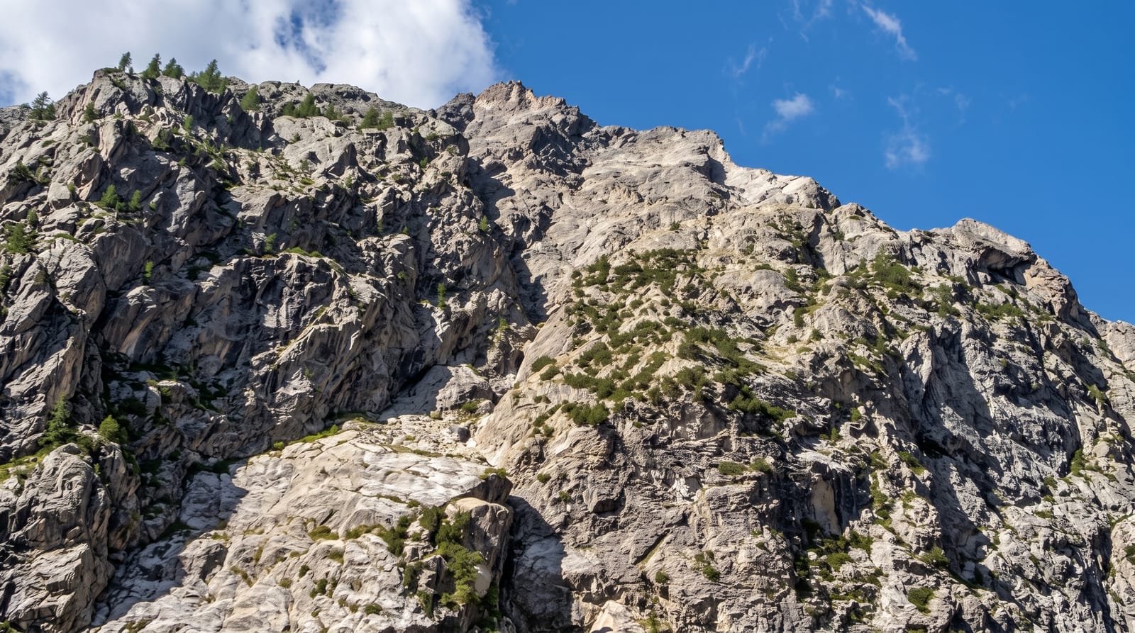
AI illustration
The Ecrins was created in 1973 around the Oisans and Valgaudemar massifs, covering high country with around a hundred and fifty glaciers and more than a hundred summits above three thousand metres, topped by the Barre des Ecrins at four thousand one hundred and two, the southernmost four-thousander in the Alps. La Meije is the mountain climbers know, a difficult peak that held out until 1877. The valleys running into it are steep and long, with villages like La Grave and Vallouise as bases; La Berarde, the historic climbing hamlet, was largely destroyed by a torrential flood in June 2024 and remains closed to visitors. Wildlife includes ibex, chamois, marmots and bearded vultures reintroduced from the 1980s. The GR54 makes a full circuit of the massif.
What you'll find
- The Barre des Ecrins - the southernmost four-thousand-metre summit in the Alps.
- La Meije - the peak that resisted climbers until 1877, seen from La Grave.
- The glacier basins - around a hundred and fifty glaciers across the massif.
- The GR54 - a demanding circuit right around the massif.
When to go
July to September, when high paths clear and refuges are staffed; snow lingers into July on cols. Valley roads are open longer but high routes are seasonal.
Things to know
This is serious mountain country: routes are long, steep and exposed, and weather changes fast. Refuges book out and must be reserved. Glaciers have retreated significantly and some classic routes have changed.
Nearby
Briancon lies east; Grenoble is northwest.
Key facts
Source: Wikidata, item Q476446, read on 18 October 2026.
What to pack for Ecrins National Park
Chosen from what this place is for. Tap a kit for the full checklist.
- Broken-in walking shoes or boots - Grip and ankle support matter more than looks; never hike in brand-new boots. Find on Amazon
- Binoculars - The single best wildlife tool - even a compact pair transforms a sighting. Find on Amazon
- Warm base layers - Merino or synthetic against the skin - never cotton, which chills when damp. Find on Amazon
- Layers for big temperature swings - Warm sun by day, near-freezing at night, even near the equator. Find on Amazon
Some links on this page are Amazon affiliate links - if you buy through them we may earn a small commission at no extra cost to you.
All packing kitsPlan your trip
Where to start if Ecrins National Park is going on the list.
Booking links on this page are affiliate links - if you book through them we may earn a small commission at no extra cost to you. It never changes what we write about a place.
Opening times, ticket prices and seasonal closures change - check the official source before you go: official site.