Briancon
The highest town in France, walled by Vauban at more than thirteen hundred metres with forts on the peaks around it.
Updated 18 October 2026
AI illustration
UNESCO World Heritage
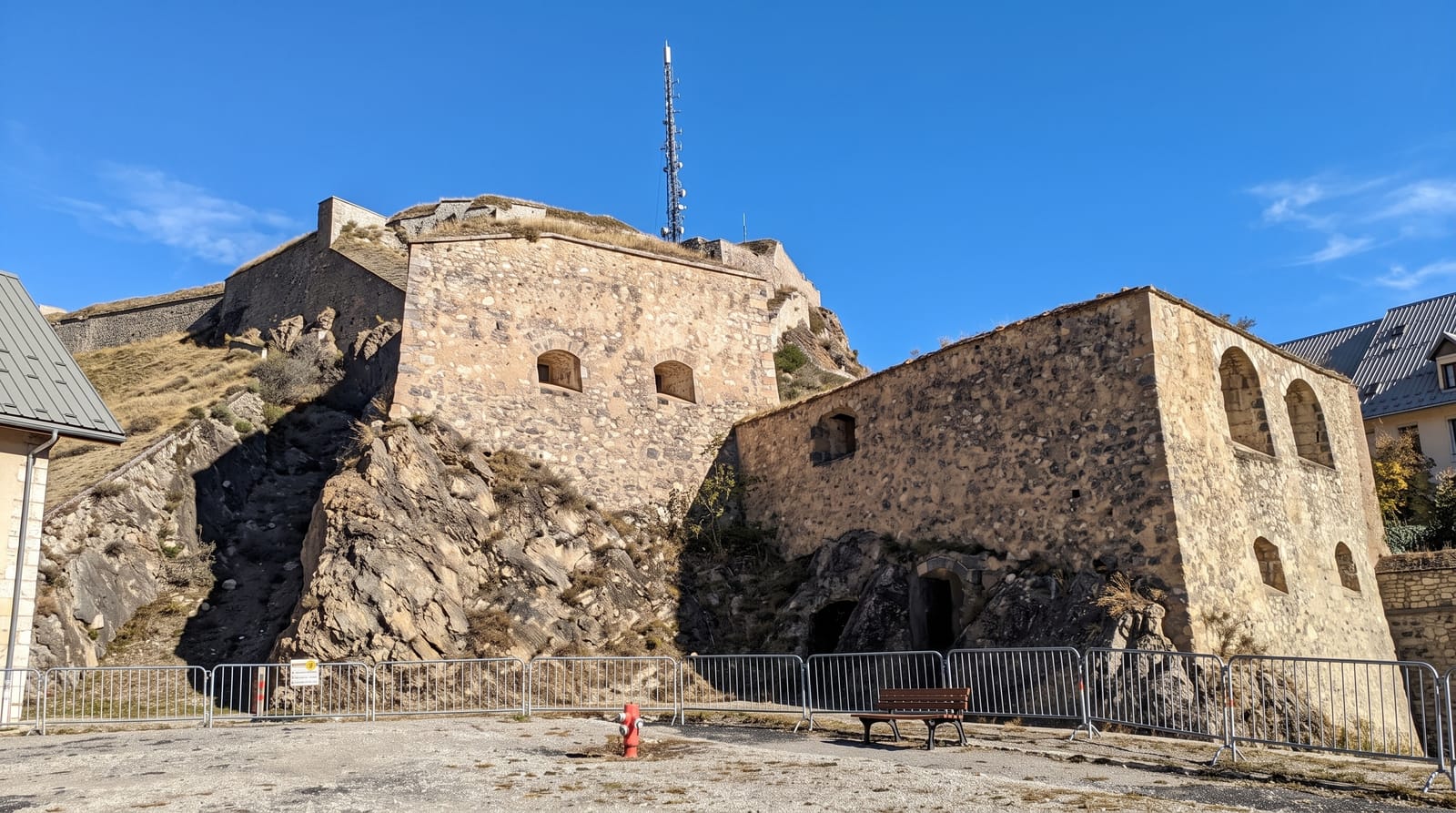
Briancon stands at about one thousand three hundred and twenty-six metres, the highest town in France, on a spur commanding the routes to Italy. Vauban, who came here in 1692 and 1700, planned a complete system: a walled upper town with gates and bastions, plus the occupation of the surrounding heights, where after the frontier was redrawn in 1713 his successors built separate forts, the Trois-Tetes, Randouillet, Salettes and Dauphin, linked to the town by the Asfeld bridge, a single stone arch across the gorge of the Durance begun in 1729. It is one of the twelve Vauban sites inscribed by UNESCO in 2008. The walled town, the Cite Vauban, is steep and narrow with a channel of running water down the main street.
History
Briançon was the Roman Brigantium, part of the kingdom of King Cottius and the first place in Gaul after the Mont Genèvre pass, where the road branched west to Vienne and south to Embrun and Gap. In the 1040s it passed to the counts of Albon and shared the fate of the Dauphiné, and its Briançonnais once reached over the Alps into the Dora Riparia and Chisone valleys, until the Treaty of Utrecht of 1713 handed those valleys to Savoy in exchange for Barcelonnette. In 1815 the town held out through a three-month siege by the Allies, recorded on one of its gates with the motto Le passé répond de l'avenir, and since 2008 its fortifications have been part of the Fortifications of Vauban World Heritage Site (Wikipedia, Briançon).
The main sights
- The Cite Vauban - a complete walled upper town with gates and bastions.
- The satellite forts - fortifications on the surrounding heights.
- The Asfeld bridge - a single stone arch across a deep gorge.
- The gargouille - a channel of running water down the main street.
When to go
June to September for walking and the forts; January to March for skiing at Serre Chevalier next door. Passes to the north close in winter, leaving one main approach.
Good to know
The Cite is steep and cobbled throughout. The satellite forts are separate and some are only accessible on guided visits. High passes into the area close for months.
Nearby
The Ecrins park lies west; Italy is over the Montgenevre pass.
Key facts
Source: Wikidata, item Q203298, read on 18 October 2026.
What to pack for Briancon
Chosen from what this place is for. Tap a kit for the full checklist.
- Comfortable walking shoes - Sightseeing means kilometres of pavement and cobbles daily. Find on Amazon
- A slim anti-theft daypack - Zips that close properly; keep it in front in crowds and on transit. Find on Amazon
- A refillable water bottle - Many cities have public fountains; save money and plastic. Find on Amazon
- A light layer + compact umbrella - For museum air-con and a sudden shower. Find on Amazon
Some links on this page are Amazon affiliate links - if you buy through them we may earn a small commission at no extra cost to you.
All packing kitsPlan your trip
Where to start if Briancon is going on the list.
Booking links on this page are affiliate links - if you book through them we may earn a small commission at no extra cost to you. It never changes what we write about a place.
Opening times, ticket prices and seasonal closures change - check the official source before you go: official site.


