Mount Batulao
Rolling grass ridges above Nasugbu - a day hike of open slopes and rocky peaklets two hours from Manila, best at dawn before the sun hits the ridge.
Updated 21 October 2026

AI illustration
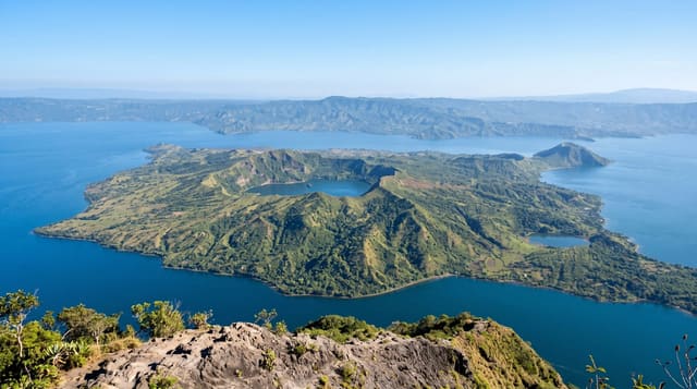
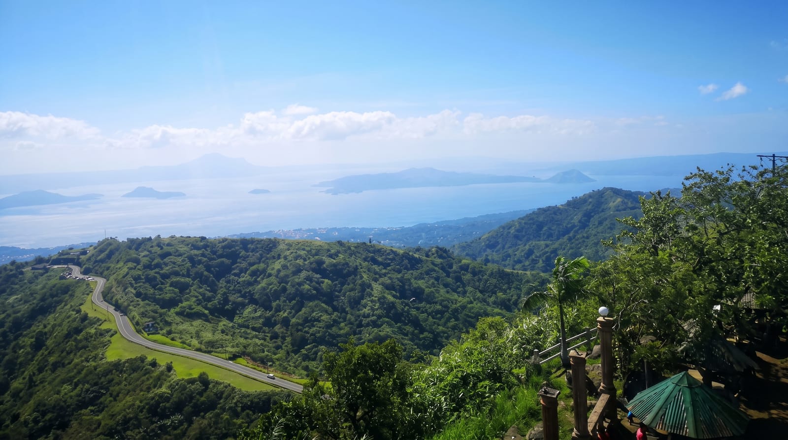
Batulao is the trail that taught Manila to hike. From the Evercrest junction below Tagaytay, two routes - the old and the new - climb through farm plots and cogon grass onto a ridge of rolling green slopes broken by a series of rocky peaklets numbered by hikers as they go, with the summit at 693 metres. The name is usually explained as bato sa ilaw, illuminated rocks, for the December sunrise that lights the two main peaks. Nothing about it is technical, but the exposure is total: there is almost no shade on the ridge, the sun arrives hard by eight in the morning, and the classic plan is to start before dawn, catch the sea of cloud in the valleys and be off the tops by mid-morning. The reward is the view - Nasugbu's hills, the coast toward Batangas and, on clear days, Taal's caldera rim. Campers stay on the saddles overnight for sunrise. Guides and registration are handled at the barangay, and weekends see hundreds of hikers on the ridge, which is either sociable or the reason to come on a Tuesday.
What you'll find
- The grass ridge - open rolling slopes and peaklets.
- The dawn cloud - valleys filled white below.
- The summit view - Nasugbu, the coast and Taal's rim.
- The farm approach - plots and stalls on the lower trail.
When to go
November to April for dry ground; start at 4 or 5 am to beat the sun. Weekends are crowded; weekdays can be near-empty.
Things to know
There is no shade and no water source on the ridge - carry two litres per person. Trails turn to slick mud after rain. Registration and guides are required and the fee is per group.
Nearby
Tagaytay's Taal viewpoints are half an hour up the road; Nasugbu's beaches lie down the other side.
Key facts
Source: Wikidata, item Q31501787, read on 18 October 2026.
What to pack for Mount Batulao
Chosen from what this place is for. Tap a kit for the full checklist.
- Broken-in walking shoes or boots - Grip and ankle support matter more than looks; never hike in brand-new boots. Find on Amazon
- Reef-safe sunscreen - High SPF that will not bleach the coral you are swimming over. Find on Amazon
- Layers for big temperature swings - Warm sun by day, near-freezing at night, even near the equator. Find on Amazon
- Shelter suited to the place - Tent, tarp or hut booking - match it to the terrain and rules. Find on Amazon
Some links on this page are Amazon affiliate links - if you buy through them we may earn a small commission at no extra cost to you.
All packing kitsPlan your trip
Where to start if Mount Batulao is going on the list.
Booking links on this page are affiliate links - if you book through them we may earn a small commission at no extra cost to you. It never changes what we write about a place.
Opening times, ticket prices and seasonal closures change - check the official source before you go: official site.