Cerro Tronador
An extinct volcano on the Chilean border whose hanging glaciers crack and fall audibly, giving the mountain its name.
Updated 4 September 2026
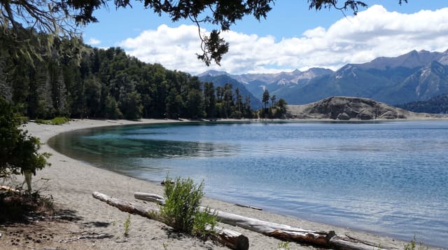
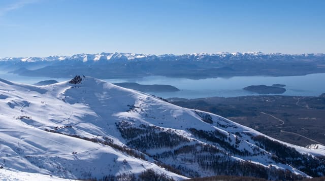
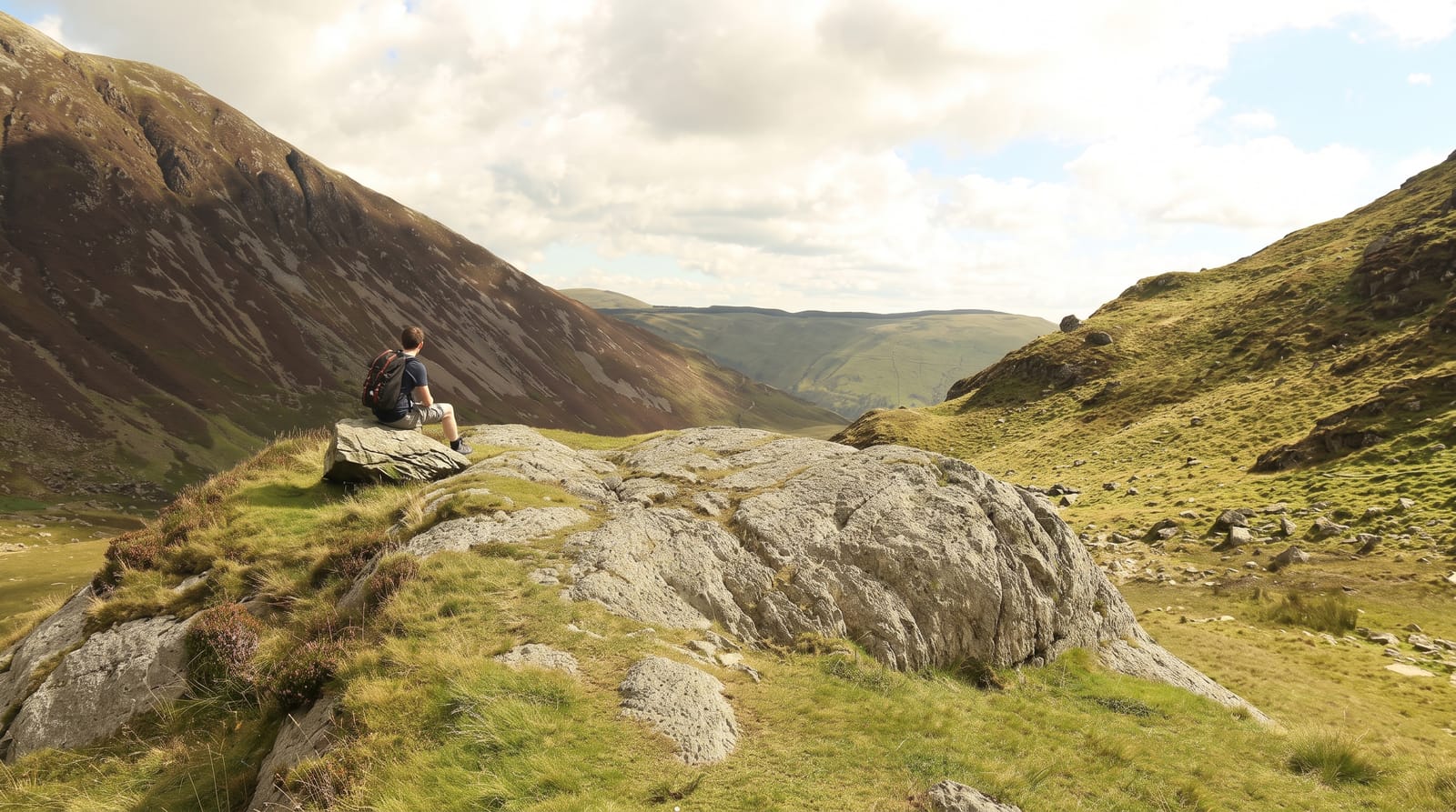
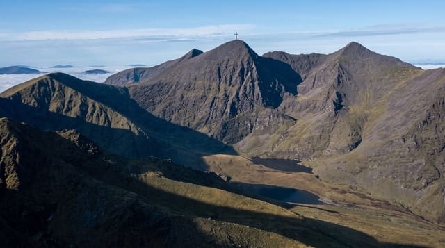
AI illustration
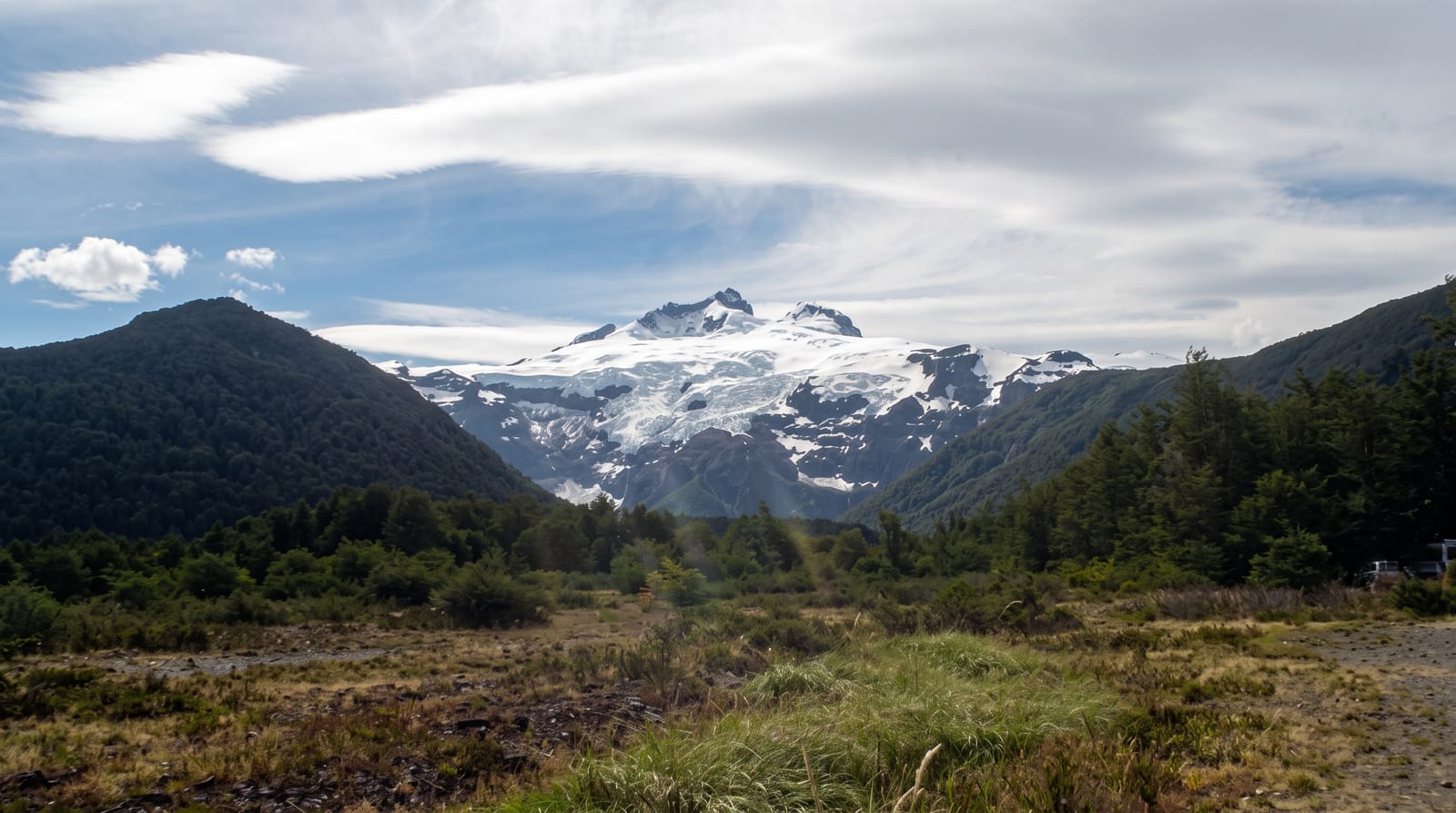
Tronador means the thunderer, and the name comes from the sound of ice breaking from the hanging glaciers on the mountain's walls and falling hundreds of metres, a boom that carries down the valley on warm afternoons. The peak reaches about 3,478 metres, the highest in the Nahuel Huapi range, and sits astride the border with Chile. The road from Bariloche runs along Lago Mascardi and up the Manso valley to Pampa Linda, then to the Ventisquero Negro, the black glacier, whose ice is dark with rock debris and which calves into a grey meltwater lagoon. A short walk from the road end reaches the Garganta del Diablo amphitheatre, where waterfalls pour off the cliffs from the ice above.
Highlights
- The Ventisquero Negro - the debris-blackened glacier and its meltwater lagoon.
- The Garganta del Diablo - the rock amphitheatre ringed by falling water.
- The hanging glaciers - ice cliffs that crack and thunder in the afternoon.
- The Manso valley road - the drive through forest along Lago Mascardi.
When to go
December to March, when the road is open; it closes with snow for much of the rest of the year. Afternoons are best for hearing ice fall, but the access road runs one way on a strict timetable, so departure times must be planned.
Practical notes
The final road is narrow gravel with fixed uphill and downhill hours, and missing the window means waiting hours. The black glacier has retreated dramatically and looks like a dirty ice mass rather than a postcard glacier. Weather often hides the summit entirely.
Nearby
Pampa Linda has lodging and trailheads; Bariloche lies northeast.
What to pack for Cerro Tronador
Chosen from what this place is for. Tap a kit for the full checklist.
- Broken-in walking shoes or boots - Grip and ankle support matter more than looks; never hike in brand-new boots. Find on Amazon
- Reef-safe sunscreen - High SPF that will not bleach the coral you are swimming over. Find on Amazon
- Warm base layers - Merino or synthetic against the skin - never cotton, which chills when damp. Find on Amazon
- Layers for big temperature swings - Warm sun by day, near-freezing at night, even near the equator. Find on Amazon
Some links on this page are Amazon affiliate links - if you buy through them we may earn a small commission at no extra cost to you.
All packing kitsPlan your trip
Where to start if Cerro Tronador is going on the list.
Booking links on this page are affiliate links - if you book through them we may earn a small commission at no extra cost to you. It never changes what we write about a place.
Opening times, ticket prices and seasonal closures change - check the official source before you go: official site.