Cadair Idris
A mountain with a cirque lake and a legend that anyone sleeping on its summit wakes as a poet or a madman.
Updated 4 September 2026
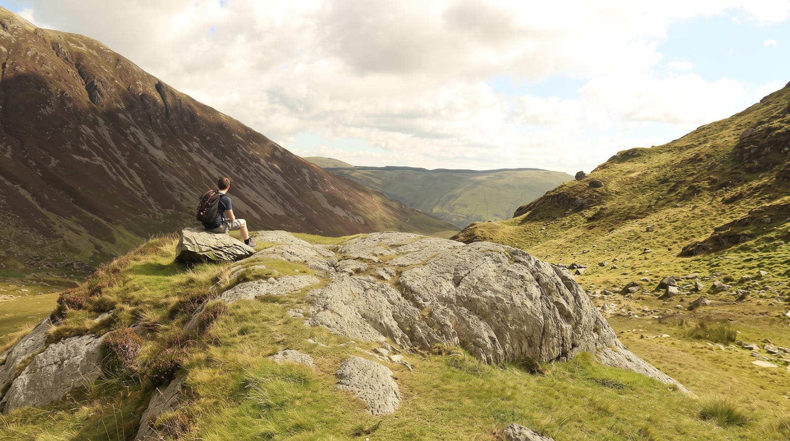
AI illustration
Cadair Idris reaches 893 metres at Penygadair and drops on its northern side into Cwm Cau, one of the finest glacial cirques in Britain, holding a dark lake below near-vertical walls; the tradition that the lake is bottomless is not true, but its shape and setting explain the story. The name means the chair of Idris, a giant of Welsh legend, and the best-known tradition holds that anyone who sleeps a night on the summit wakes either a poet or a madman. The Minffordd path is the standard ascent, steep and direct up through oak woodland and then round the rim of Cwm Cau. A stone shelter stands at the top. The mountain was among the earliest in Britain visited for its scenery rather than crossed of necessity, drawing painters including Richard Wilson and Turner.
The landscape
- Cwm Cau - a cirque with a dark lake beneath vertical walls.
- The Minffordd path - a steep direct ascent through oak wood to the rim.
- The summit shelter - a stone refuge on Penygadair at 893 metres.
- The legend - the tradition of waking a poet or a madman after a night on top.
When to go
May to September for the ascent; the mountain holds cloud and its weather turns fast. Winter conditions require axe and crampons and the paths ice over. Clear days give views to Snowdon and across Cardigan Bay.
Things to know
All routes are steep, sustained climbs of around eight hundred metres and take five to six hours return. The Minffordd path is rocky and hard on the descent. Parking at Minffordd is charged and limited. Sleeping on the summit is a legend, not a suggestion; the top is exposed and cold.
Nearby
Dolgellau lies north; the Mawddach estuary and Barmouth are northwest.
Key facts
Source: Wikidata, item Q774479, read on 18 October 2026.
What to pack for Cadair Idris
Chosen from what this place is for. Tap a kit for the full checklist.
- Broken-in walking shoes or boots - Grip and ankle support matter more than looks; never hike in brand-new boots. Find on Amazon
- Layers for big temperature swings - Warm sun by day, near-freezing at night, even near the equator. Find on Amazon
- Layers + a waterproof shell - Mountain weather turns fast; a packable rain jacket saves the day. Find on Amazon
- Extra-strong sun protection - Thin air means fierce UV; hat, sunglasses and high-SPF sunscreen. Find on Amazon
Some links on this page are Amazon affiliate links - if you buy through them we may earn a small commission at no extra cost to you.
All packing kitsPlan your trip
Where to start if Cadair Idris is going on the list.
Booking links on this page are affiliate links - if you book through them we may earn a small commission at no extra cost to you. It never changes what we write about a place.
Opening times, ticket prices and seasonal closures change - check the official source before you go: official site.