Taal Volcano
A volcano in a lake on an island in a lake, an hour and a half from Manila and one of the most closely watched in the country.
Updated 22 October 2026

AI illustration
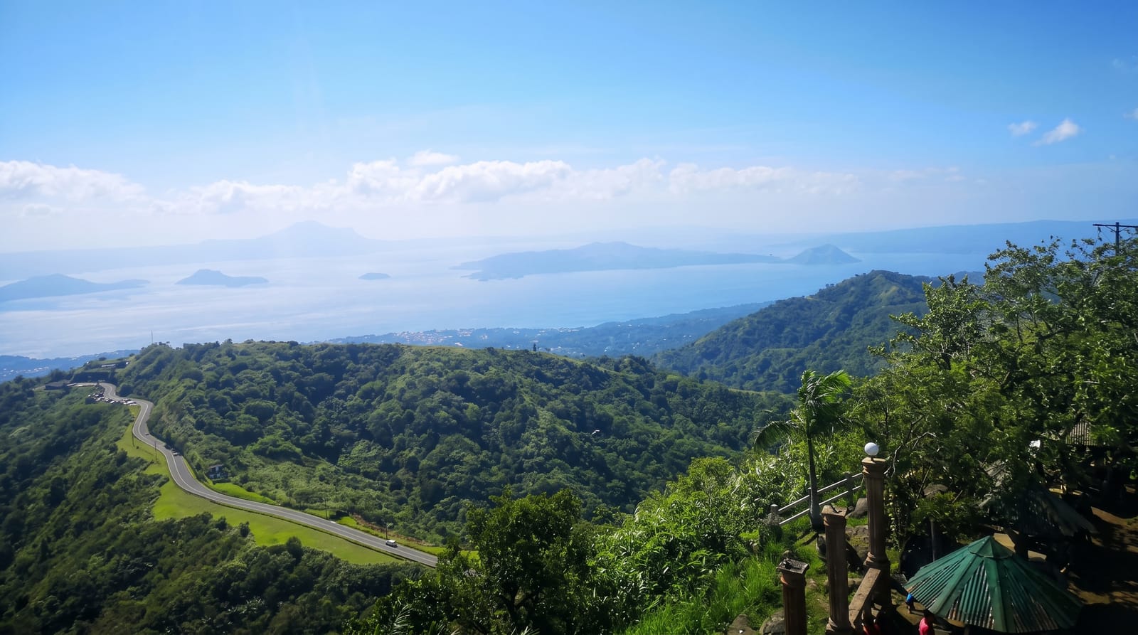
Taal is one of the most geologically nested places on earth: a large caldera lake, an island rising from it, a crater on that island, and a small lake inside that crater. It is also one of the Philippines' most active volcanoes, with a long record of destructive eruptions, most recently a major eruption in January 2020 that covered the surrounding towns in ash and forced mass evacuations. The classic view is from the ridge at Tagaytay, where the whole caldera opens below you and the air is noticeably cooler than Manila, and where a row of viewpoints, cafés and the Picnic Grove have grown up to serve it. Whether you can go further than looking depends entirely on the alert level set by the volcanology institute at the time.
History
In the 1800s the volcano was known as Pulo, Bombou or Bombon, and the lake as Bombon Lake; the town of Taal and the Taa-lan River, now the Pansipit, took their name from the taa-lan tree that grew along the river and the shore. Taal has 39 confirmed historical eruptions, with a recorded death toll of about 6,000 across that history, and it was designated a Decade Volcano, to be studied closely so that future disasters can be prevented (Wikipedia, Taal Volcano).
What's there
- The Tagaytay ridge viewpoints - the full caldera panorama, reliable and free.
- Taal Lake - the caldera lake itself, with fishing villages along the shore.
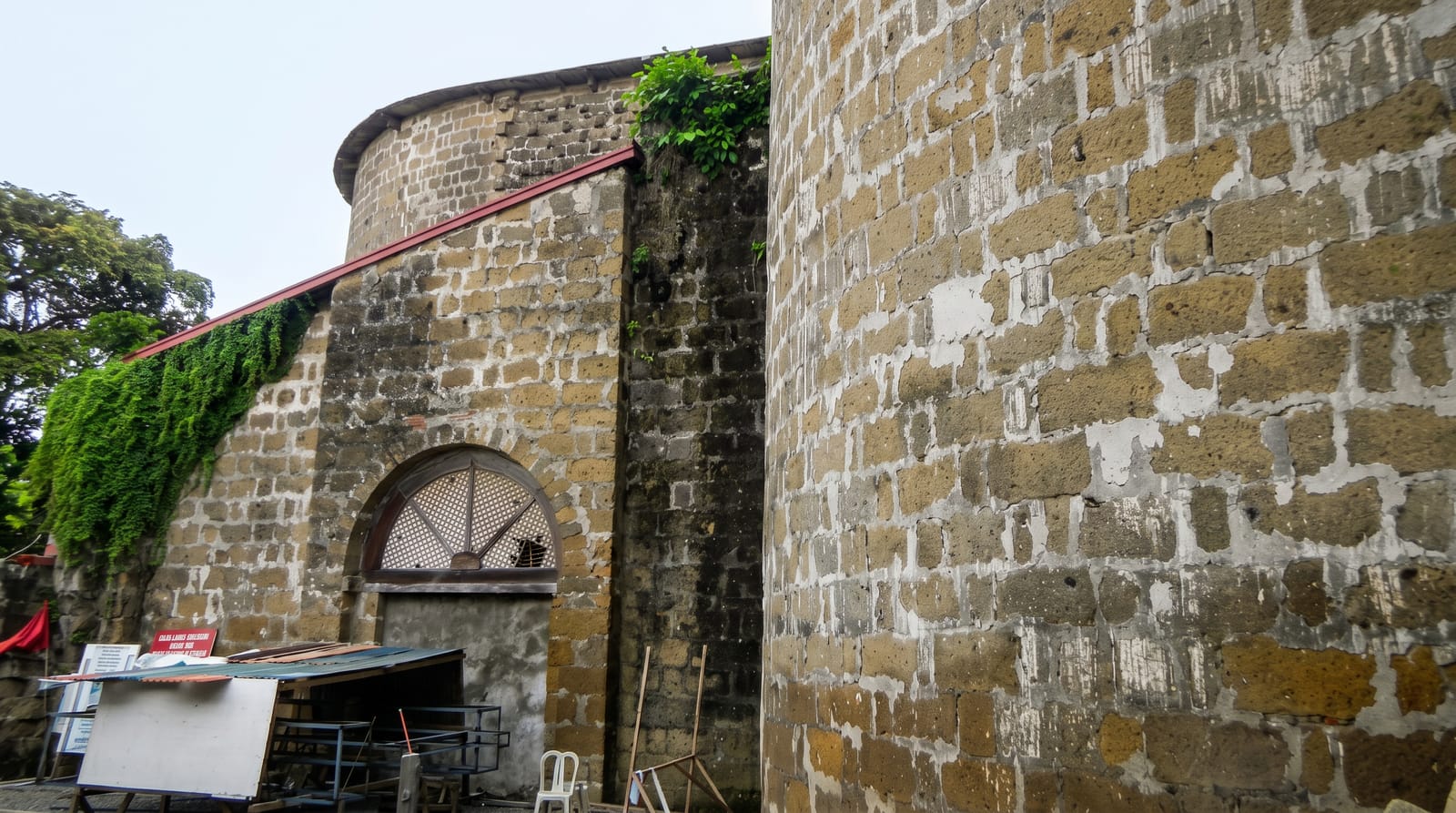
- Taal Heritage Town - Spanish-era houses and a very large basilica in the town of Taal.
- Picnic Grove and the ridge cafés - the cool-climate strip above the lake.
When to go
December to April for clear views; the caldera is often hazy or clouded in the wet season. Weekends bring heavy Manila traffic up to the ridge, so weekdays are far better.
Things to know
Access to the volcano island is not guaranteed and changes with the official alert level, which can be raised at short notice; treat the crater trek as a bonus rather than the plan. The old horseback trek to the crater has been criticised on animal welfare grounds. Tagaytay's viewpoints are heavily commercialised, with entry fees to look at a view that is free from the roadside.
Nearby
Manila is under two hours away; the Batangas dive coast lies south.
Key facts
Source: Wikidata, item Q818475, read on 18 October 2026.
What to pack for Taal Volcano
Chosen from what this place is for. Tap a kit for the full checklist.
- Broken-in walking shoes or boots - Grip and ankle support matter more than looks; never hike in brand-new boots. Find on Amazon
- Travel rod + reel - A packable multi-piece rod fits in a case and covers most holiday fishing. Find on Amazon
- Layers for big temperature swings - Warm sun by day, near-freezing at night, even near the equator. Find on Amazon
- Modest clothing - Shoulders and knees covered - the single most common requirement. Find on Amazon
Some links on this page are Amazon affiliate links - if you buy through them we may earn a small commission at no extra cost to you.
All packing kitsPlan your trip
Where to start if Taal Volcano is going on the list.
Booking links on this page are affiliate links - if you book through them we may earn a small commission at no extra cost to you. It never changes what we write about a place.
Opening times, ticket prices and seasonal closures change - check the official source before you go: official site.