Mount Maculot
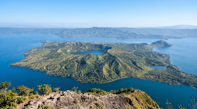
The Rockies over Taal Lake - a short steep climb in Cuenca to a cliff ledge with the caldera and volcano island spread below.
Updated 21 October 2026

AI illustration
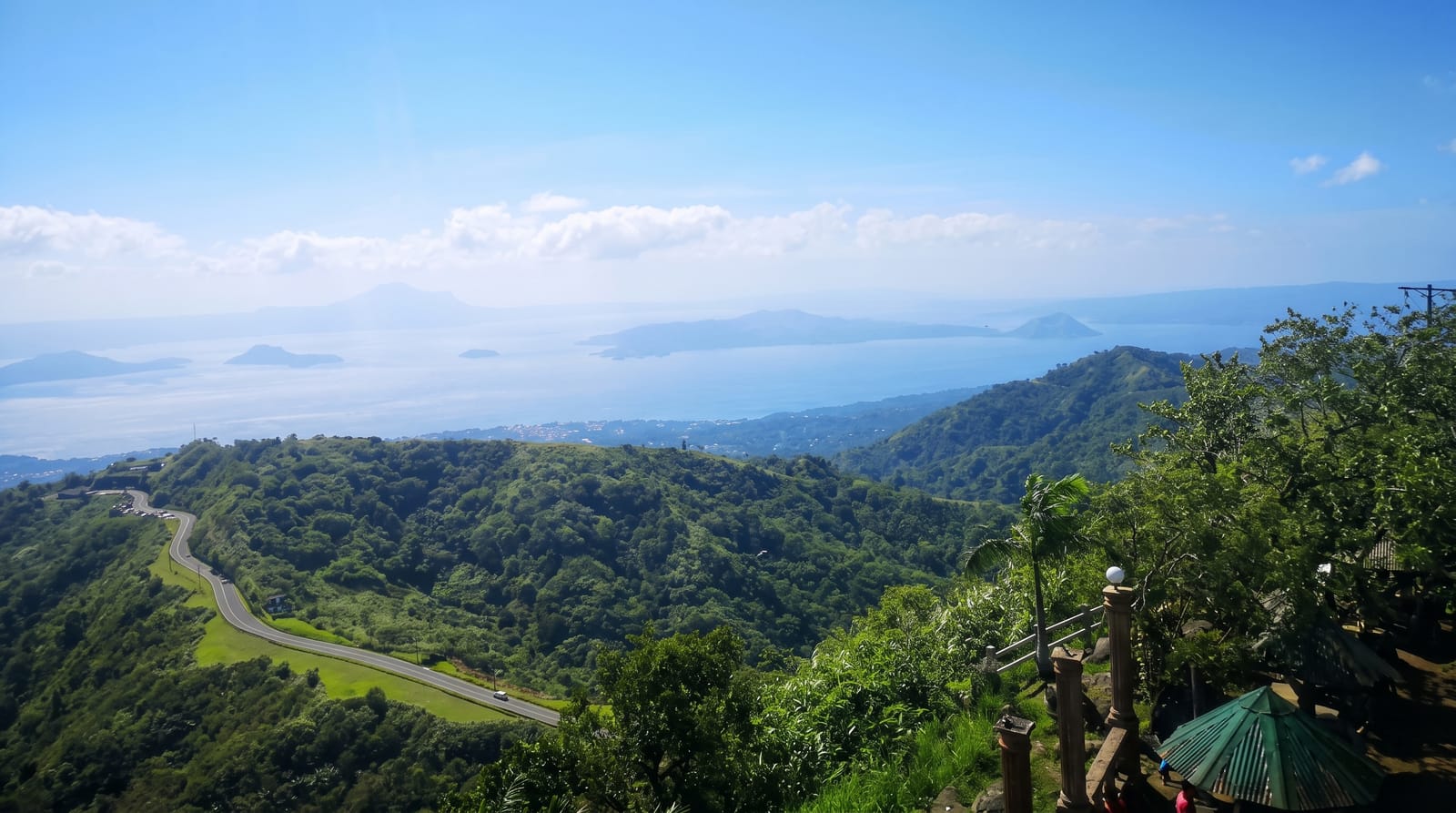
Maculot, or Macolod, rises to about 947 metres above Cuenca on the eastern shore of Taal Lake, a dormant flank volcano of the Taal system, and its famous feature is not the summit but the Rockies: a rock shelf partway up the mountain where the ground simply stops and the whole Taal caldera opens below - the lake, the volcano island in the middle of it, the far rim of the crater ridge, and the towns strung along the shore. Getting there is about an hour and a half of steep, rooty trail from the barangay, short by Philippine standards but relentless, with a scramble at the top onto the ledge where everyone takes the same photograph sitting over the drop. Above the Rockies, a separate trail continues to the true summit and the grotto on the far side, making a longer loop for those who want the full mountain. It is one of the most-climbed peaks in the country and weekends prove it, and in Holy Week thousands of pilgrims climb it as penance; dawn starts are standard both for the light and to avoid the heat on the exposed upper slopes.
Highlights
- The Rockies ledge - the rock shelf over the caldera.
- Taal Lake and island - the volcano in its crater lake.
- The steep trail - roots and rock through the forest.
- The summit loop - the true peak and grotto beyond.
When to go
November to April; start at dawn for cool air and clear views before haze builds. Weekends are busy with queues at the ledge.
Before you go
Short does not mean easy - the climb is steep throughout and slippery when wet. The ledge is genuinely exposed; keep back from the edge and mind children. Volcanic activity at Taal occasionally closes access - check advisories.
Nearby
Taal town's heritage houses, Tagaytay's ridge and the lake shore towns are all within an hour.
Key facts
Source: Wikidata, item Q6921956, read on 18 October 2026.
What to pack for Mount Maculot
Chosen from what this place is for. Tap a kit for the full checklist.
- Broken-in walking shoes or boots - Grip and ankle support matter more than looks; never hike in brand-new boots. Find on Amazon
- Head torch + spare batteries - Hands-free light is essential; caves are truly dark. Find on Amazon
- Layers for big temperature swings - Warm sun by day, near-freezing at night, even near the equator. Find on Amazon
- Modest clothing - Shoulders and knees covered - the single most common requirement. Find on Amazon
Some links on this page are Amazon affiliate links - if you buy through them we may earn a small commission at no extra cost to you.
All packing kitsPlan your trip
Where to start if Mount Maculot is going on the list.
Booking links on this page are affiliate links - if you book through them we may earn a small commission at no extra cost to you. It never changes what we write about a place.
Opening times, ticket prices and seasonal closures change - check the official source before you go: official site.