Serra de Tramuntana
Mallorca's northwest range of limestone peaks, hand-terraced olive slopes and dry stone walls, crossed by one very slow coastal road.
Updated 4 September 2026
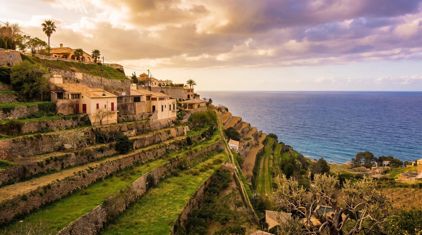
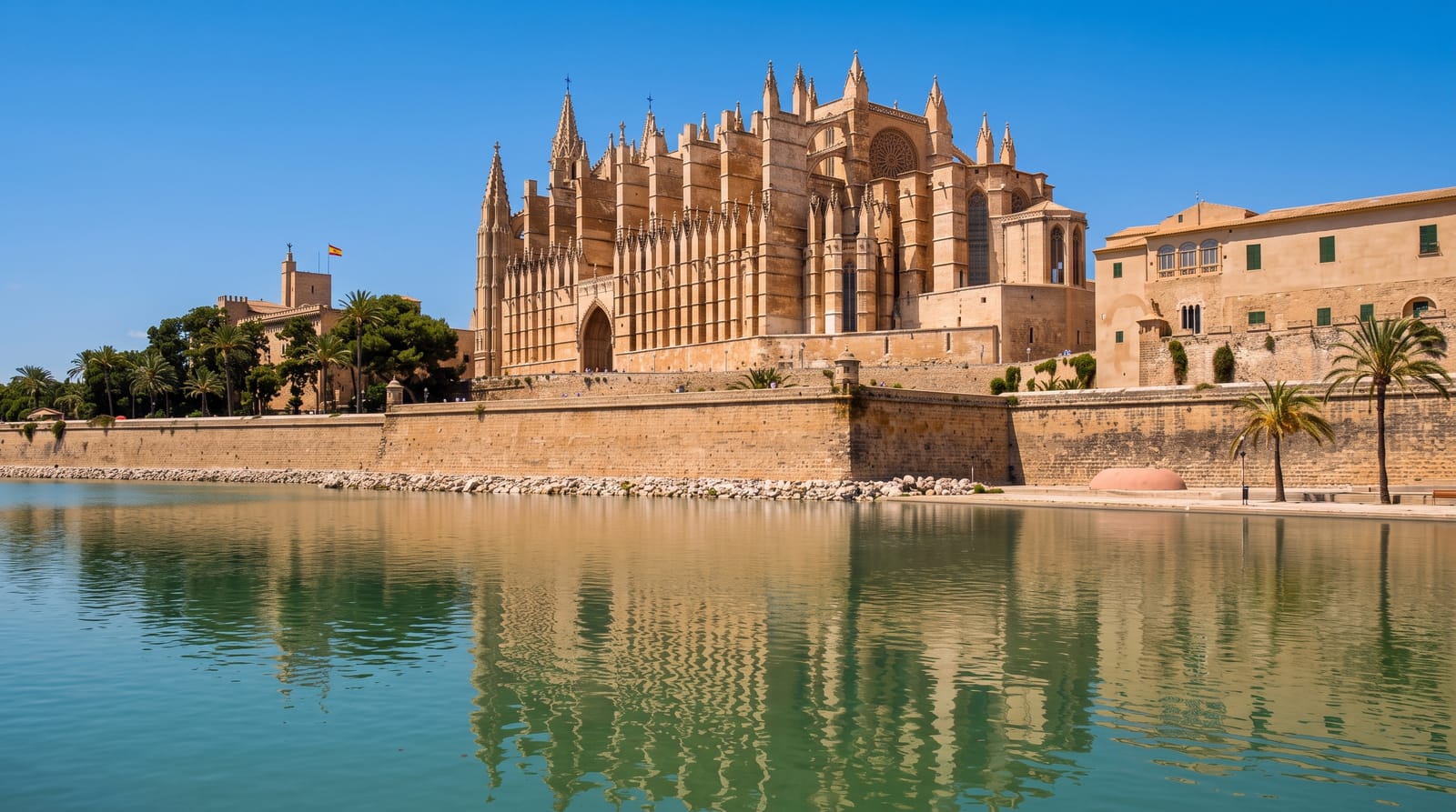
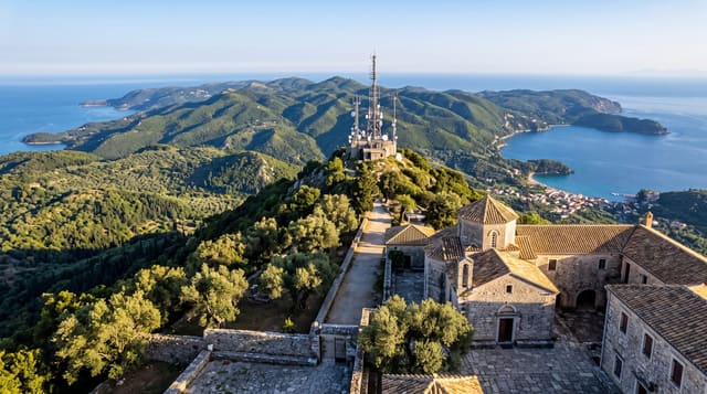
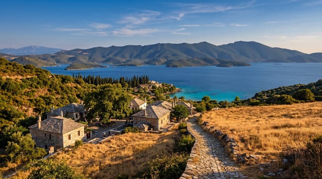
AI illustration
UNESCO World Heritage
The Tramuntana runs the whole northwest side of Mallorca, a limestone wall between the interior plain and the sea, and the terracing on its slopes is old enough and extensive enough that the range is inscribed as a cultural landscape rather than a natural one. Dry stone walls hold soil for olives and citrus on ground that would otherwise wash away, and a network of channels moves water down from the mountains to the villages. The Ma-10 road runs the length of it with a great many bends. A narrow gauge train from Palma to Soller and a tram down to the port both survive from the early twentieth century.
What's there
- The dry stone terraces - hand-built walls holding olive groves on steep slopes.
- The Ma-10 road - the slow coastal route from Andratx to Pollenca.
- The Soller train and tram - narrow gauge lines from Palma to the town and port.
- Sa Calobra and the Torrent de Pareis - a gorge reaching the sea through a cleft.
When to go
Spring and autumn are best for walking, cycling and for driving the road without holiday traffic. Summer brings heat, full car parks at the coves and cyclists in numbers on every bend. Winter is mild and green but many mountain restaurants and some hotels close, and rain brings rockfall that closes sections of road.
Good to know
The Ma-10 is a long series of tight bends, unpleasant if anyone in the car gets travel sick and slow behind coaches. Parking at Sa Calobra and Deia is inadequate in season. Many terraces are on private land with no access. The train and tram are charming but expensive for the distance they cover.
Nearby
Palma is under an hour; Pollenca and Alcudia bays close the range at its northern end.
Key facts
Source: Wikidata, item Q379025, read on 18 October 2026.
What to pack for Serra de Tramuntana
Chosen from what this place is for. Tap a kit for the full checklist.
- Broken-in walking shoes or boots - Grip and ankle support matter more than looks; never hike in brand-new boots. Find on Amazon
- Padded shorts - The one thing that makes a full day in the saddle bearable. Find on Amazon
- Layers for big temperature swings - Warm sun by day, near-freezing at night, even near the equator. Find on Amazon
- Layers + a waterproof shell - Mountain weather turns fast; a packable rain jacket saves the day. Find on Amazon
Some links on this page are Amazon affiliate links - if you buy through them we may earn a small commission at no extra cost to you.
All packing kitsPlan your trip
Where to start if Serra de Tramuntana is going on the list.
Booking links on this page are affiliate links - if you book through them we may earn a small commission at no extra cost to you. It never changes what we write about a place.
Opening times, ticket prices and seasonal closures change - check the official source before you go: official site.