Jebel Siroua
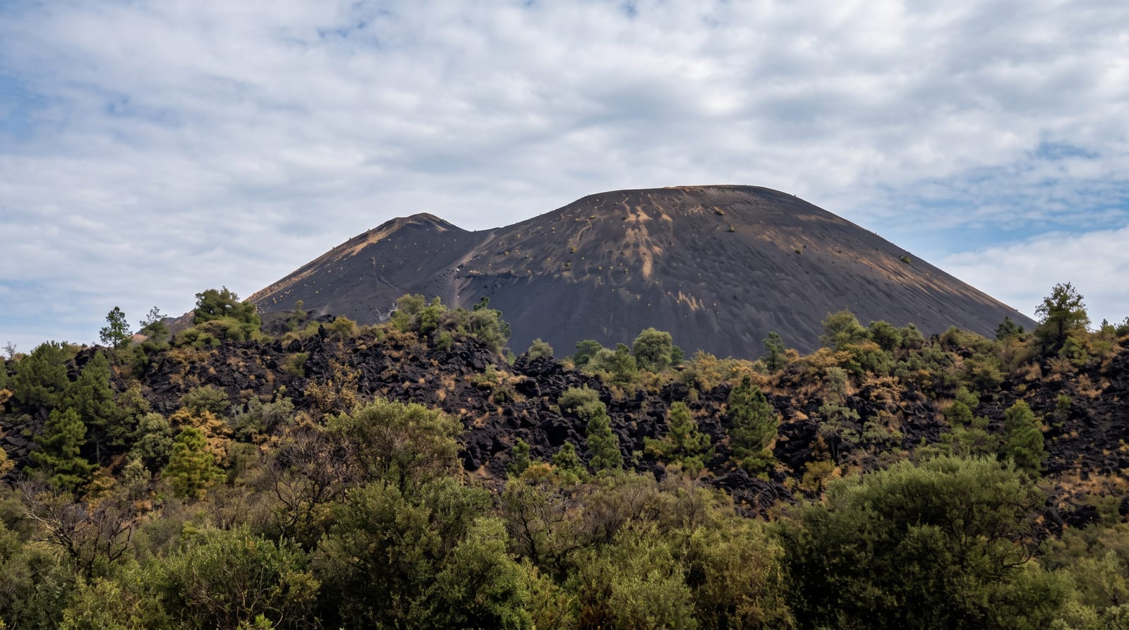
An extinct volcano linking the High Atlas to the Anti-Atlas, whose villages grow most of Morocco's saffron.
Updated 29 August 2026
Siroua is a volcanic massif rising to 3,304 metres that sits exactly where the High Atlas and the Anti-Atlas meet, and it is geologically distinct from both - basalt and trachyte over older rock, weathered into needles, plateaus and lava plugs, with a summit that is a genuine scramble rather than a walk. It is trekked over three to five days from Taliouine, mule-supported, through villages of stone and earth, high pastures, and the Tislit gorge. The other reason the name is known is saffron: the villages on the southern flanks around Taliouine grow the great majority of Morocco's crop, harvested by hand over about three weeks in late October and early November, when the fields are picked at dawn and the stigmas separated by hand indoors the same day. A cooperative and a small saffron museum in Taliouine explain the process and sell the product.
What you'll find
- A volcanic massif - basalt needles and plugs where two ranges meet.
- A 3,304-metre summit - a scramble rather than a walk at the top.
- Saffron villages - the southern flanks growing most of Morocco's crop.
- A three-week harvest - hand picking at dawn in late October and early November.
When to go
Late October to early November for saffron; spring and autumn for trekking. Three to five days.
Things to know
The trek needs a guide and mules, arranged in Taliouine - it is remote with no facilities. The summit is an exposed scramble. Saffron sold at roadside stalls is often adulterated; buy from the cooperative. Winter closes the high ground.
Nearby
Taliouine is south; Taroudant and the Souss plain are west.
Key facts
Source: Wikidata, item Q3163385, read on 18 October 2026.
What to pack for Jebel Siroua
Chosen from what this place is for. Tap a kit for the full checklist.
- Broken-in walking shoes or boots - Grip and ankle support matter more than looks; never hike in brand-new boots. Find on Amazon
- Layers for big temperature swings - Warm sun by day, near-freezing at night, even near the equator. Find on Amazon
- Layers + a waterproof shell - Mountain weather turns fast; a packable rain jacket saves the day. Find on Amazon
- Extra-strong sun protection - Thin air means fierce UV; hat, sunglasses and high-SPF sunscreen. Find on Amazon
Some links on this page are Amazon affiliate links - if you buy through them we may earn a small commission at no extra cost to you.
All packing kitsPlan your trip
Where to start if Jebel Siroua is going on the list.
Booking links on this page are affiliate links - if you book through them we may earn a small commission at no extra cost to you. It never changes what we write about a place.
Opening times, ticket prices and seasonal closures change - check the official source before you go: official site.