Lac d'Ifni
The only substantial lake in the Toubkal massif, in a stony bowl on Toubkal's southern side with no outflowing river.
Updated 30 September 2026
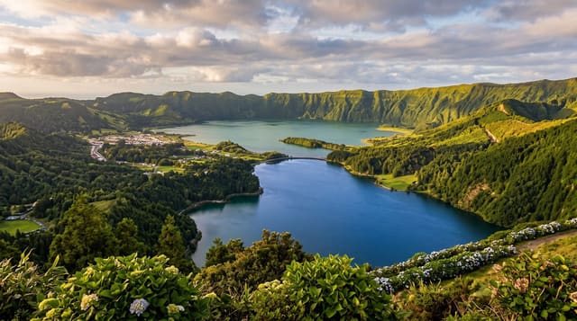
Lac d'Ifni sits at about 2,300 metres in a bowl of grey scree on the southern flank of the Toubkal massif and is the only lake of any size in the massif. It was formed by a landslide damming the valley, and it has no surface outflow - the water leaves through the debris underground and re-emerges downstream, which is why the level moves and the shore is a broad band of bare stone. The colour is a deep green. Two ways in: a walk of a few hours up from Amsouzert in the Tifnoute valley, which is the easier approach and passes walnut groves and villages, or over the Tizi n'Ouanoums at 3,664 metres from the Toubkal refuges, which is a long hard day and the usual second stage of a Toubkal circuit. There are basic gites at the lake and at Amsouzert. The setting is severe and almost treeless.
What's there
- The Toubkal massif's only real lake - dammed by a landslide, at about 2,300 metres.
- No surface outflow - water leaving through the debris and re-emerging downstream.
- A bare stone shore - a wide band exposed as the level moves.
- Two approaches - up from Amsouzert, or over a 3,664-metre pass from Toubkal.
When to go
May to October. Two to three days as part of a circuit.
Practical notes
The pass route from Toubkal is a long hard day at altitude and not a casual walk. Accommodation at the lake is basic gite standard. The setting is stony and bleak - people expecting an alpine lake are surprised. Snow closes the pass outside summer.
Nearby
Toubkal is north over the pass; Amsouzert and the Tifnoute valley are south.
Key facts
Source: Wikidata, item Q3215341, read on 18 October 2026.
What to pack for Lac d'Ifni
Chosen from what this place is for. Tap a kit for the full checklist.
- Reef-safe sunscreen - High SPF that will not bleach the coral you are swimming over. Find on Amazon
- Head torch + spare batteries - Hands-free light is essential; caves are truly dark. Find on Amazon
- Warm base layers - Merino or synthetic against the skin - never cotton, which chills when damp. Find on Amazon
- Layers for big temperature swings - Warm sun by day, near-freezing at night, even near the equator. Find on Amazon
Some links on this page are Amazon affiliate links - if you buy through them we may earn a small commission at no extra cost to you.
All packing kitsPlan your trip
Where to start if Lac d'Ifni is going on the list.
Booking links on this page are affiliate links - if you book through them we may earn a small commission at no extra cost to you. It never changes what we write about a place.
Opening times, ticket prices and seasonal closures change - check the official source before you go: official site.