The Atlas Mountains
Morocco's rugged spine - snow-capped High Atlas peaks above green Berber valleys, terraced fields and mud-brick villages, gateway to trekking and North Africa's highest summit.
Updated 4 August 2026
AI illustration
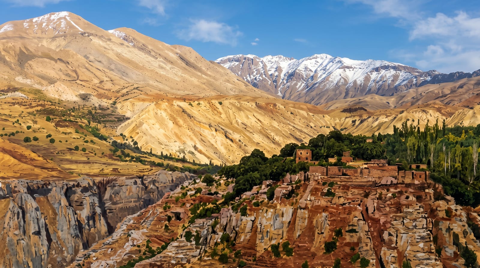
The High Atlas Mountains form the rugged spine of Morocco, rising just south of Marrakech to snow-capped peaks including Toubkal, the highest summit in North Africa. Their green valleys are terraced with fields and dotted with mud-brick Berber villages, walnut groves and rushing streams, offering a cool, dramatic escape from the cities and some of the finest trekking in the country.
The landscape
- The Berber villages - the mud-brick villages in the terraced valleys.
- Mount Toubkal - the highest peak in North Africa, a serious trek.
- The valleys - the Ourika and Imlil valleys of fields and streams.
- The mountain passes - the dramatic roads like Tizi n'Tichka.
When to go
Spring and autumn for the best trekking weather and green valleys; summer offers cool relief from the city heat, while winter brings snow to the high peaks. The Toubkal summit needs snow gear in the colder months.
What to expect
The high peaks like Toubkal are serious mountains needing a guide, fitness and proper gear, not a casual stroll; the valleys, though, offer gentle walks. A guide is recommended and often required for treks. The roads are winding and slow. Villages are traditional, so dress and behave respectfully.
Nearby
Marrakech is an hour or two north; the desert and the kasbah of Ait Benhaddou lie over the passes.
Key facts
Source: Wikidata, item Q130135, read on 18 October 2026.
What to pack for The Atlas Mountains
Chosen from what this place is for. Tap a kit for the full checklist.
- Broken-in walking shoes or boots - Grip and ankle support matter more than looks; never hike in brand-new boots. Find on Amazon
- Warm base layers - Merino or synthetic against the skin - never cotton, which chills when damp. Find on Amazon
- Loose, light, long clothing - Covering up beats bare skin in the desert - and locals dress this way for a reason. Find on Amazon
- Layers for big temperature swings - Warm sun by day, near-freezing at night, even near the equator. Find on Amazon
Some links on this page are Amazon affiliate links - if you buy through them we may earn a small commission at no extra cost to you.
All packing kitsPlan your trip
Where to start if The Atlas Mountains is going on the list.
Booking links on this page are affiliate links - if you book through them we may earn a small commission at no extra cost to you. It never changes what we write about a place.
Opening times, ticket prices and seasonal closures change - check the official source before you go: official site.