Mount Wilhelm
The roof of PNG - a 4,509-metre summit above glacial lakes, climbed pre-dawn from highland villages for a sunrise over both coasts.
Updated 21 October 2026
AI illustration
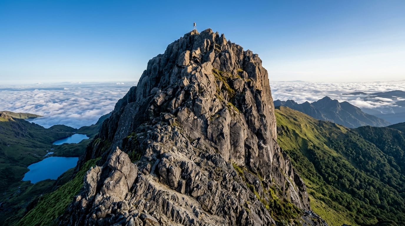
Papua New Guinea's highest point tops out at about 4,509 metres, and the climb is the highlands in miniature: from Keglsugl's gardens the trail rises through moss forest into alpine grassland, camps by the glacial Piunde and Aunde lakes in their cirque, then leaves at 1am for the summit scramble - timed so that dawn finds you on the roof of the country, with cloud seas below and, on the clearest mornings, the glint of both the north and south coasts at once. Village guides run the mountain as their trade, wartime aircraft wreckage marks one flank, and the cold at altitude surprises everyone who packed for the tropics.
History
The mountain was named in 1888 by the German newspaper correspondent Hugo Zöller, who climbed the Finisterre Range and named the Bismarck Range and its four highest peaks after the chancellor and his children; Wilhelmberg proved much higher than Ottoberg. The first recorded ascent was made in August 1938 by the patrol officer Leigh Vial with two local companions, who found snow on the summit (Wikipedia, Mount Wilhelm).
The landscape
- The summit dawn - sunrise over cloud seas and, with luck, two coasts.
- Piunde and Aunde lakes - the glacial pair below the final ridge.
- The moss forest - the dripping middle mountain's gardens of green.
- Highland villages - Keglsugl's fields and guiding families.
When to go
May to November, the drier season, gives the best summit odds; rain and cloud can still cancel any given dawn - a spare day doubles your chances. Nights at the lakes sit near freezing year round.
Good to know
The summit day is long, cold, partly scrambled and at real altitude - fitness and acclimatisation matter, and guides are essential both for route and relations. Facilities are village guesthouses and basic lake huts. Arrange the whole package through Kundiawa or trusted operators.
Nearby
The Chimbu valleys, Goroka's show-season culture and the Highlands Highway.
Key facts
Source: Wikidata, item Q277441, read on 18 October 2026.
What to pack for Mount Wilhelm
Chosen from what this place is for. Tap a kit for the full checklist.
- Broken-in walking shoes or boots - Grip and ankle support matter more than looks; never hike in brand-new boots. Find on Amazon
- Warm base layers - Merino or synthetic against the skin - never cotton, which chills when damp. Find on Amazon
- Layers for big temperature swings - Warm sun by day, near-freezing at night, even near the equator. Find on Amazon
- Shelter suited to the place - Tent, tarp or hut booking - match it to the terrain and rules. Find on Amazon
Some links on this page are Amazon affiliate links - if you buy through them we may earn a small commission at no extra cost to you.
All packing kitsPlan your trip
Where to start if Mount Wilhelm is going on the list.
Booking links on this page are affiliate links - if you book through them we may earn a small commission at no extra cost to you. It never changes what we write about a place.
Opening times, ticket prices and seasonal closures change - check the official source before you go: official site.