Mount Ulriken
The highest of Bergen's seven mountains at 643 metres, reached by cable car in seven minutes or by a hard climb.
Updated 21 October 2026
AI illustration
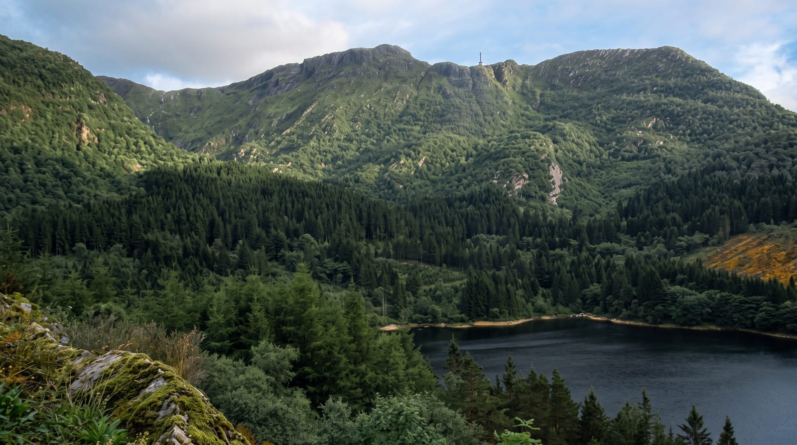
Ulriken tops Bergen's ring of mountains at 643 metres, and the cable car from the eastern suburbs reaches the summit in about seven minutes, which puts a full view over the city, the fjords and the islands within half an hour of the centre. The summit holds a restaurant, a large television mast and open plateau ground that runs north across bare rock and bog. From here the Vidden trail crosses to Mount Floyen, and shorter loops drop back toward town. Walking up is popular too, by the paths from Montana and the other trails across the mountain. Weather changes fast and the top is often in cloud when the city below is clear.
History
The cable car, Ulriksbanen, opened in 1961 and has closed and reopened several times since, most recently reopening on 1 May 2009. Beneath the mountain runs the 7.6-kilometre Ulriken Tunnel of the Bergen Line, opened in 1964, and a second tunnel begun in January 2016 was completed in December 2020 (Wikipedia, Ulriken).
What you'll find
- The summit view - Bergen, the fjords and the outer islands from 643 metres.
- The cable car - a seven-minute ride from the eastern suburbs.
- The plateau - bare rock and bog running north from the top.
- The Vidden trailhead - the start of the crossing to Mount Floyen.
When to go
May to September for reliable walking; the plateau holds snow into late spring and can be dangerous in poor visibility. Long summer evenings give the best light. The cable car runs year-round but closes in high wind.
What to expect
Cloud sits on the summit often enough that a view is not guaranteed, and the cable car runs regardless. The top is developed, with a restaurant, masts and crowds on fine days. Walking up is steep and takes one to two hours.
Nearby
Mount Floyen is at the other end of the Vidden trail; Bergen's Bryggen waterfront lies below.
Key facts
Source: Wikidata, item Q386192, read on 18 October 2026.
What to pack for Mount Ulriken
Chosen from what this place is for. Tap a kit for the full checklist.
- Broken-in walking shoes or boots - Grip and ankle support matter more than looks; never hike in brand-new boots. Find on Amazon
- Warm base layers - Merino or synthetic against the skin - never cotton, which chills when damp. Find on Amazon
- Layers for big temperature swings - Warm sun by day, near-freezing at night, even near the equator. Find on Amazon
- Layers + a waterproof shell - Mountain weather turns fast; a packable rain jacket saves the day. Find on Amazon
Some links on this page are Amazon affiliate links - if you buy through them we may earn a small commission at no extra cost to you.
All packing kitsPlan your trip
Where to start if Mount Ulriken is going on the list.
Booking links on this page are affiliate links - if you book through them we may earn a small commission at no extra cost to you. It never changes what we write about a place.
Opening times, ticket prices and seasonal closures change - check the official source before you go: official site.


