Mount Gimie
The island's highest peak at 950 metres, in the middle of the rainforest and climbed by far fewer people than the Pitons.
Updated 21 October 2026
AI illustration
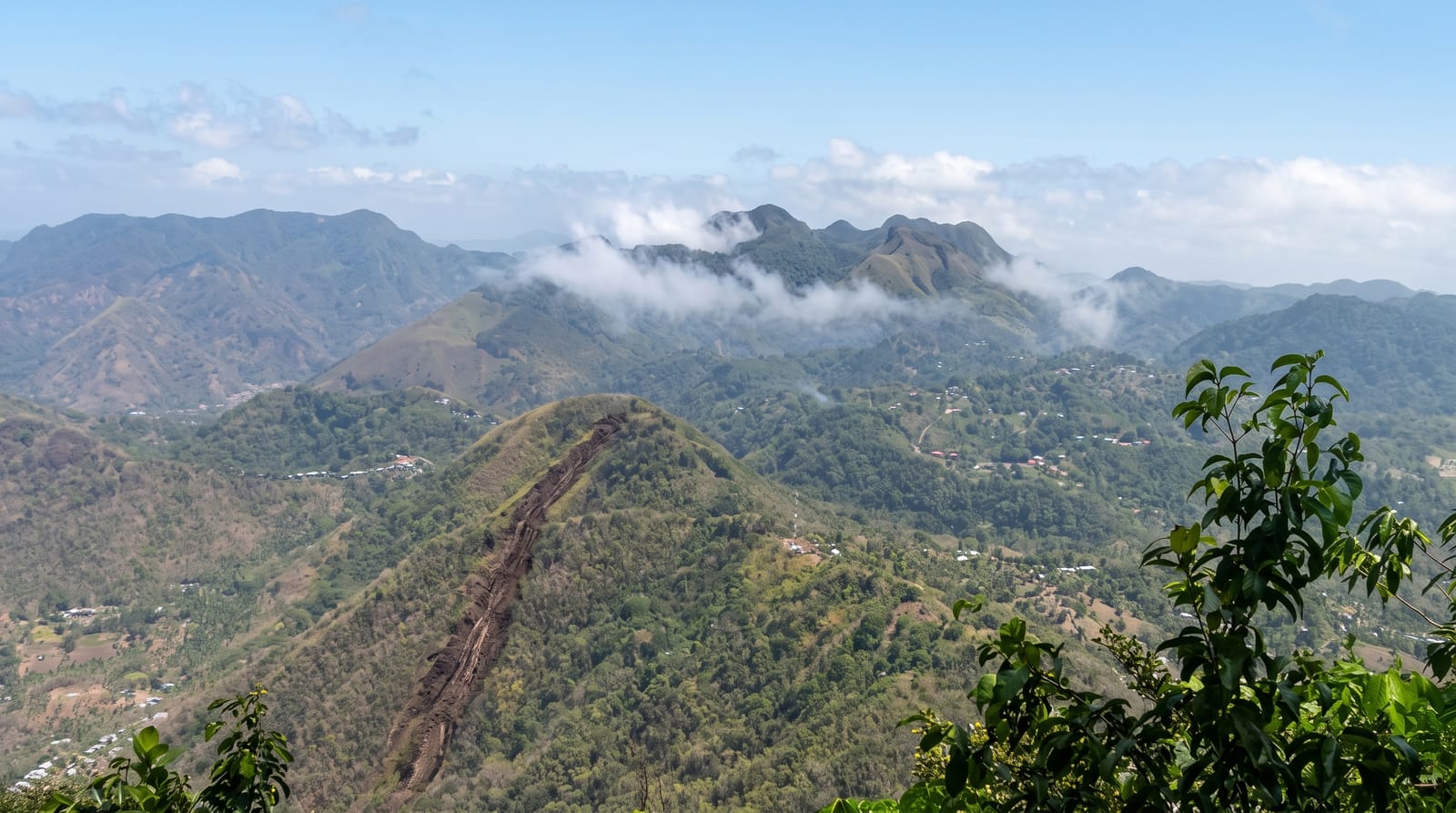
Mount Gimie rises to nine hundred and fifty metres in the centre of Saint Lucia, which makes it the highest point on the island and considerably higher than either Piton, though almost nobody climbs it; it was built by volcanic activity some 200,000 to 300,000 years ago. The route goes from Fond St Jacques through the Edmund reserve and then up a steep, wet, root-tangled ridge into elfin forest at the top, taking most of a day. The summit is often in cloud, and when it is not the view runs the length of the island. Because so few people go, the trail is faint in places and a forestry guide is not optional but necessary.
Highlights
- The summit - the island's highest point, at 950 metres.
- The elfin forest - stunted moss-hung trees near the top.
- The ridge climb - steep, wet and tangled with roots.
- The solitude - almost nobody climbs it.
When to go
December to April is the drier season, which matters on a route that is muddy at the best of times. Start at first light; it takes most of a day. A guide from Fond St Jacques is essential and must be arranged in advance.
Before you go
The trail is faint, steep and very muddy, and it is not maintained to the standard of the Piton routes; a guide is genuinely necessary rather than a formality. Cloud sits on the summit most days and the view is a matter of luck. There is no rescue capability. It is a harder day than Gros Piton.
Nearby
The Edmund reserve is on the same route; Soufrière is below.
Key facts
Source: Wikidata, item Q1811114, read on 18 October 2026.
What to pack for Mount Gimie
Chosen from what this place is for. Tap a kit for the full checklist.
- Broken-in walking shoes or boots - Grip and ankle support matter more than looks; never hike in brand-new boots. Find on Amazon
- Strong insect repellent - DEET or picaridin; the jungle is where bites and disease risk are highest. Find on Amazon
- Layers for big temperature swings - Warm sun by day, near-freezing at night, even near the equator. Find on Amazon
- Layers + a waterproof shell - Mountain weather turns fast; a packable rain jacket saves the day. Find on Amazon
Some links on this page are Amazon affiliate links - if you buy through them we may earn a small commission at no extra cost to you.
All packing kitsPlan your trip
Where to start if Mount Gimie is going on the list.
Booking links on this page are affiliate links - if you book through them we may earn a small commission at no extra cost to you. It never changes what we write about a place.
Opening times, ticket prices and seasonal closures change - check the official source before you go: official site.