The Usambara Mountains
Cool green highlands of ancient forest and terraced villages, walked village to village on footpaths with local guides.
Updated 2 September 2026

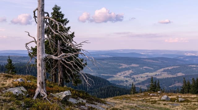
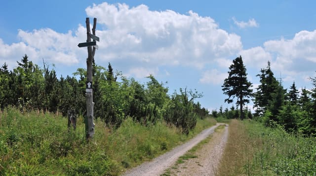
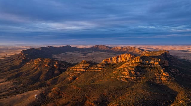
AI illustration
The Usambaras are part of the Eastern Arc, a chain of ancient crystalline mountains that have held forest continuously for millions of years and are consequently packed with species found nowhere else, which is why biologists sometimes call them the Galápagos of Africa. The African violet was first collected here. For visitors the appeal is simpler: cool air after the coastal heat, steep green ridges of terraced smallholdings, and a network of footpaths connecting villages, walked with community guides who arrange homestays along the way. Irente viewpoint drops away more than a thousand metres to the Maasai plain below, and Lushoto, a German colonial-era hill station, is the base for almost everything.
What's there
- Irente viewpoint - a sheer drop from the escarpment to the plains far below.
- Village-to-village walks - multi-day footpath routes with community guides and homestays.
- Magamba forest reserve - remnant montane forest with endemic birds and chameleons.
- Lushoto market - the highland produce market, busiest on market days.
When to go
The drier windows, June to October and December to February, make the paths easier. It is genuinely cool here, especially at night, which surprises people arriving from the coast. Rain turns the red tracks to grease.
What to expect
This is walking country, and the walking is steep, on paths rather than trails, often for several hours between villages. Guides are arranged locally and quality varies, so use an established cultural tourism programme. Accommodation is simple. Public transport up from Mombo is a crowded minibus on a switchback road that some people find alarming.
Nearby
Tanga and the coast lie east; Arusha and the northern circuit are to the northwest.
Key facts
Source: Wikidata, item Q671222, read on 18 October 2026.
What to pack for The Usambara Mountains
Chosen from what this place is for. Tap a kit for the full checklist.
- Broken-in walking shoes or boots - Grip and ankle support matter more than looks; never hike in brand-new boots. Find on Amazon
- Layers for big temperature swings - Warm sun by day, near-freezing at night, even near the equator. Find on Amazon
- Layers + a waterproof shell - Mountain weather turns fast; a packable rain jacket saves the day. Find on Amazon
- Extra-strong sun protection - Thin air means fierce UV; hat, sunglasses and high-SPF sunscreen. Find on Amazon
Some links on this page are Amazon affiliate links - if you buy through them we may earn a small commission at no extra cost to you.
All packing kitsPlan your trip
Where to start if The Usambara Mountains is going on the list.
Booking links on this page are affiliate links - if you book through them we may earn a small commission at no extra cost to you. It never changes what we write about a place.
Opening times, ticket prices and seasonal closures change - check the official source before you go: official site.