Fichtelberg
Saxony's highest peak, with a cable car of 1924 that was the first of its kind built in Germany.
Updated 19 October 2026
AI illustration
The Fichtelberg reaches 1,215 metres, the highest point in Saxony, above Oberwiesenthal, which at about nine hundred metres is the highest town in Germany. The cable car opened in 1924 and was the first aerial cableway for passengers built in Germany, rebuilt since but running the same line. Snow lies longer here than almost anywhere else in the country and the mountain has been a winter sports centre since the nineteenth century, producing a long list of Olympic athletes from the small town below. The Fichtelberg house on the summit was rebuilt in 1967 after fire. The Czech border runs just south along the ridge.
History
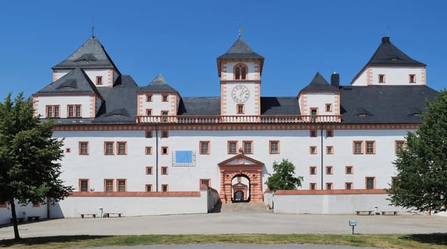
The first certain Fichtelberg house was built on the summit in 1888/89 by Oskar Puschmann, opened on 21 July 1889 and extended in 1899 and again in 1910 as the highest mountain in Saxony grew popular. The cable car of 1924 drew still more visitors, and on the evening of 25 February 1963 a fire broke out in the Fichtelberg House (Wikipedia, Fichtelberg).
Highlights
- The 1924 cable car - Germany's first passenger aerial cableway line.
- The 1,215-metre summit - the highest point in Saxony, with a weather station.
- Oberwiesenthal - Germany's highest town, at about nine hundred metres.
- The winter sports - long snow cover and a training centre for athletes.
When to go
December to March for snow and June to September for walking; the shoulder seasons are quiet with lifts often closed. Cloud sits on the summit frequently.
Practical notes
The summit is developed with buildings, masts and lifts. Cloud hides the view often. Lifts close between seasons and in high wind.
Nearby
The Czech Klínovec faces it across the border; Annaberg lies north.
Key facts
Source: Wikidata, item Q164561, read on 18 October 2026.
What to pack for Fichtelberg
Chosen from what this place is for. Tap a kit for the full checklist.
- Broken-in walking shoes or boots - Grip and ankle support matter more than looks; never hike in brand-new boots. Find on Amazon
- Warm base layers - Merino or synthetic against the skin - never cotton, which chills when damp. Find on Amazon
- Layers for big temperature swings - Warm sun by day, near-freezing at night, even near the equator. Find on Amazon
- Layers + a waterproof shell - Mountain weather turns fast; a packable rain jacket saves the day. Find on Amazon
Some links on this page are Amazon affiliate links - if you buy through them we may earn a small commission at no extra cost to you.
All packing kitsPlan your trip
Where to start if Fichtelberg is going on the list.
Booking links on this page are affiliate links - if you book through them we may earn a small commission at no extra cost to you. It never changes what we write about a place.
Opening times, ticket prices and seasonal closures change - check the official source before you go: official site.