Cerro Galán
One of the largest volcanic calderas on Earth, a collapsed crater some 35 kilometres across holding a lagoon and flamingos on the Catamarca puna.
Updated 4 September 2026
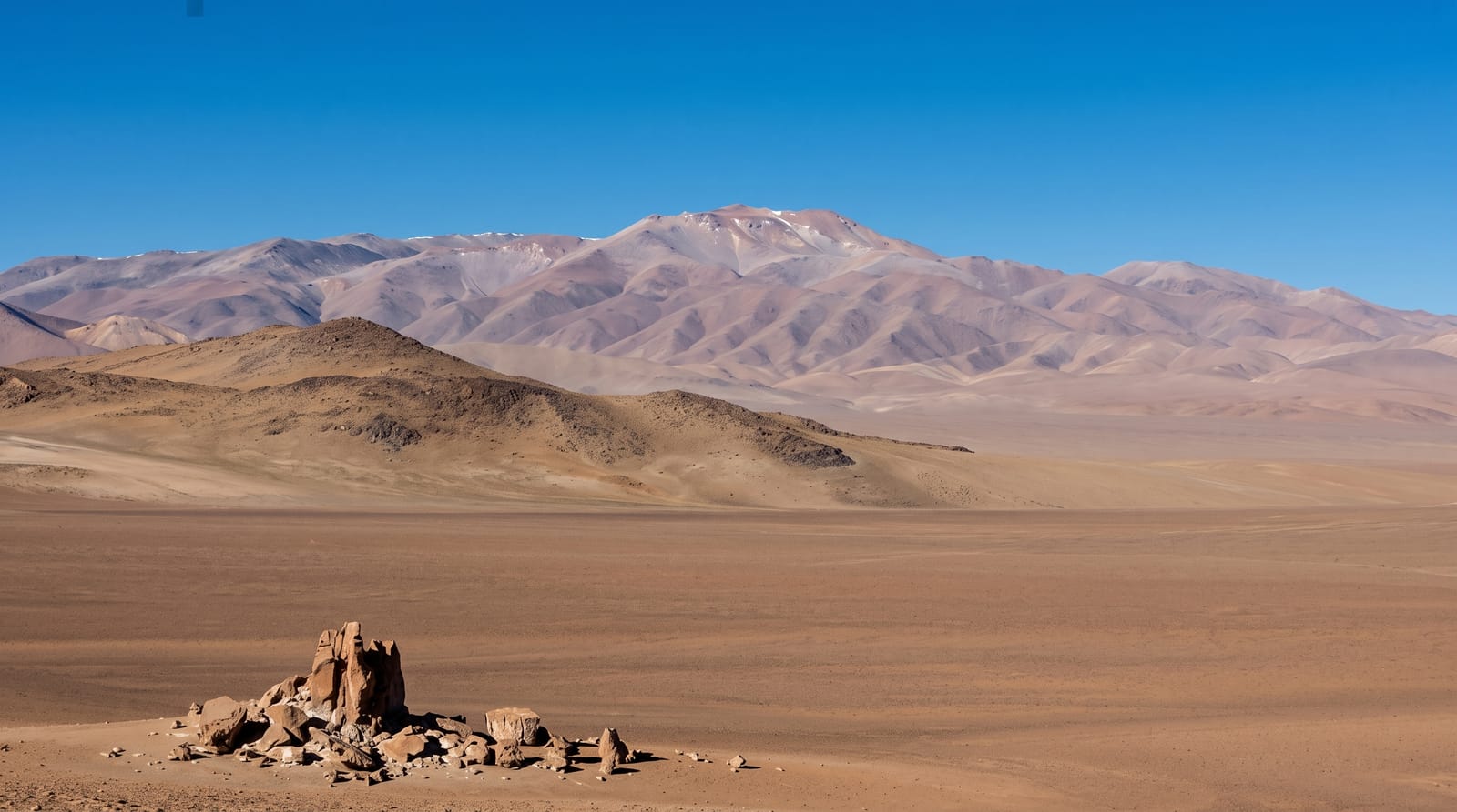
AI illustration
Cerro Galán is not a cone but a caldera, the collapsed remains of an eruption around two million years ago so vast that it ranks among the largest known anywhere, leaving a bowl roughly thirty-five kilometres across on the Catamarca puna. Inside it the ground is a plain of pale ignimbrite at around 4,500 metres, with a resurgent dome pushed up at the centre and a shallow lagoon on the floor where flamingos feed and vicuñas come to drink. The rim is broken and low from inside, so the scale is easier to understand from the approach than from within, and the volume of rock ejected in the original eruption is difficult to picture at all. Reaching it means a long day of driving on unmarked tracks with a guide who knows the route.
The landscape
- The caldera floor - a vast pale plain at around 4,500 metres.
- The lagoon - shallow water with flamingos inside the crater.
- The resurgent dome - the uplifted centre of the collapsed caldera.
- The vicuñas - herds grazing on the sparse high grassland.
When to go
April to November for firm tracks and settled weather; summer storms make the route impassable. Trips take a full day from Antofagasta de la Sierra and must start early. Wind and cold are severe at this altitude at any time of year.
What to expect
The caldera is so large that from inside it can look like an ordinary plain, which disappoints visitors expecting a crater rim. Access is by unmarked track with real risk of getting lost or stuck, so a guide is not optional. At 4,500 metres, altitude sickness is common.
Nearby
Antofagasta de la Sierra is the base; Campo de Piedra Pómez lies on the same circuit.
Key facts
Source: Wikidata, item Q2342225, read on 18 October 2026.
What to pack for Cerro Galán
Chosen from what this place is for. Tap a kit for the full checklist.
- Broken-in walking shoes or boots - Grip and ankle support matter more than looks; never hike in brand-new boots. Find on Amazon
- Reef-safe sunscreen - High SPF that will not bleach the coral you are swimming over. Find on Amazon
- Layers for big temperature swings - Warm sun by day, near-freezing at night, even near the equator. Find on Amazon
- Layers + a waterproof shell - Mountain weather turns fast; a packable rain jacket saves the day. Find on Amazon
Some links on this page are Amazon affiliate links - if you buy through them we may earn a small commission at no extra cost to you.
All packing kitsPlan your trip
Where to start if Cerro Galán is going on the list.
Booking links on this page are affiliate links - if you book through them we may earn a small commission at no extra cost to you. It never changes what we write about a place.
Opening times, ticket prices and seasonal closures change - check the official source before you go: official site.


