Mount Iraya
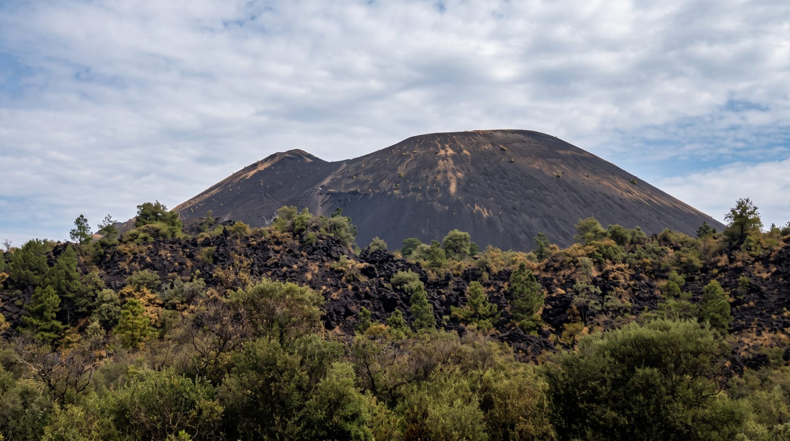
The forested cone over Basco - the country's northernmost active volcano, climbed through cloud forest for views across Batan Island and the channel.
Updated 21 October 2026

AI illustration
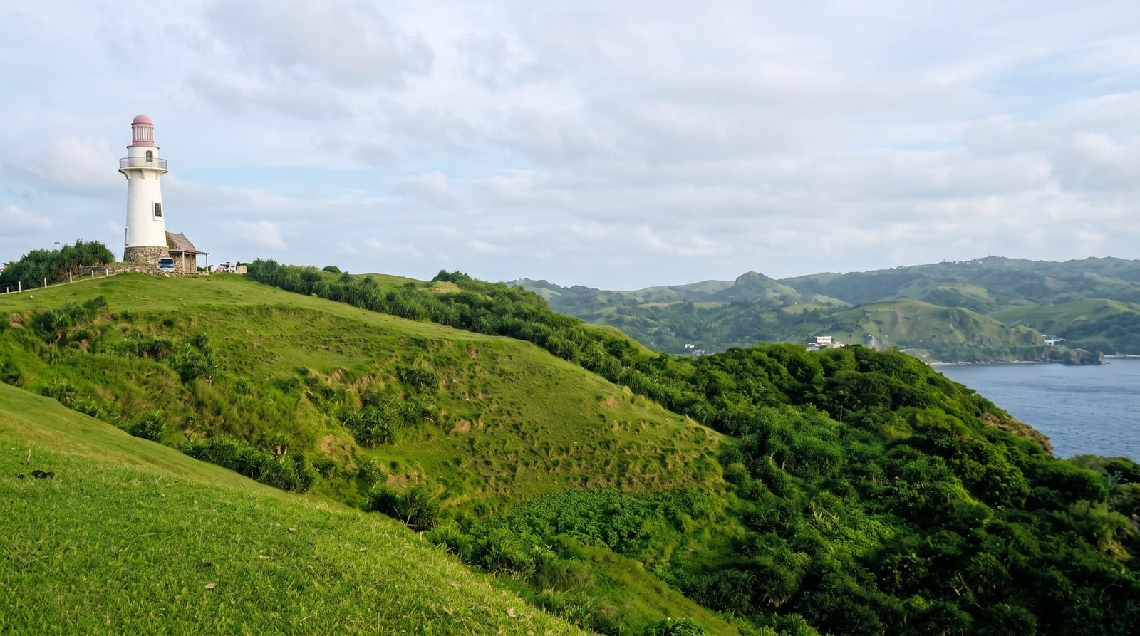
Iraya rises above Basco to 1,009 metres, the northernmost volcano in the Philippines still classed as active, though its last eruption was in 1454, and a sacred mountain of the Ivatan; its upper slopes carry dense, dripping cloud forest - a different Batanes from the wind-scoured pastures below. The climb takes most of a day: a steady ascent from the farm edges into forest thick with ferns, moss and endemic birds, muddy underfoot in almost any season, then a scramble through low crooked trees to a summit that is often socked in. On the rare clear mornings the reward is the whole of Batan laid out - Basco and its lighthouse, the pasture ridges, the boulder coast, Sabtang across the strait and the channel running north toward Itbayat. Guides are required, both because the trail is faint above the farms and because the weather turns fast. Most visitors to Batanes never climb it, which is precisely the appeal for those who do.
The landscape
- The cloud forest - mossy, fern-dense upper slopes.
- The summit view - Batan, Sabtang and the channel on clear days.
- The endemic birds - Batanes' forest species along the trail.
- The cone itself - the volcano that shapes every island view.
When to go
March to May for the best chance of a clear summit; the climb is wet in any month and unadvisable in the typhoon season. Start at dawn.
What to expect
Mud, leeches in wet spells and a summit that clouds over most days - manage expectations. Guides are mandatory and know the weather signs. Batanes flights themselves cancel routinely.
Nearby
Basco's lighthouse, Vayang Rolling Hills and Valugan Boulder Beach sit at the mountain's foot.
Key facts
Source: Wikidata, item Q1672421, read on 18 October 2026.
What to pack for Mount Iraya
Chosen from what this place is for. Tap a kit for the full checklist.
- Broken-in walking shoes or boots - Grip and ankle support matter more than looks; never hike in brand-new boots. Find on Amazon
- Modest clothing - Shoulders and knees covered - the single most common requirement. Find on Amazon
- Layers + a waterproof shell - Mountain weather turns fast; a packable rain jacket saves the day. Find on Amazon
- A scarf or shawl - To cover the head or shoulders on entry; women especially at mosques. Find on Amazon
Some links on this page are Amazon affiliate links - if you buy through them we may earn a small commission at no extra cost to you.
All packing kitsPlan your trip
Where to start if Mount Iraya is going on the list.
Booking links on this page are affiliate links - if you book through them we may earn a small commission at no extra cost to you. It never changes what we write about a place.
Opening times, ticket prices and seasonal closures change - check the official source before you go: official site.