Basco Lighthouse
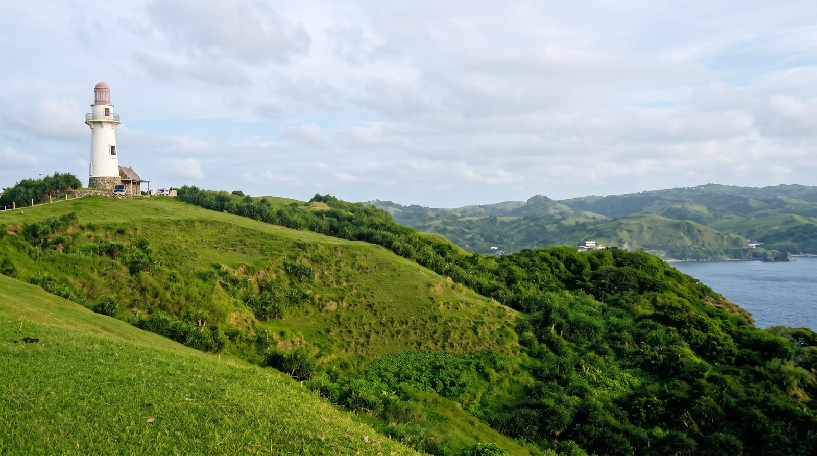
The Naidi Hills light above Basco - a modern stone tower on a green headland, and the standard first stop in Batanes.
Updated 21 October 2026
AI illustration
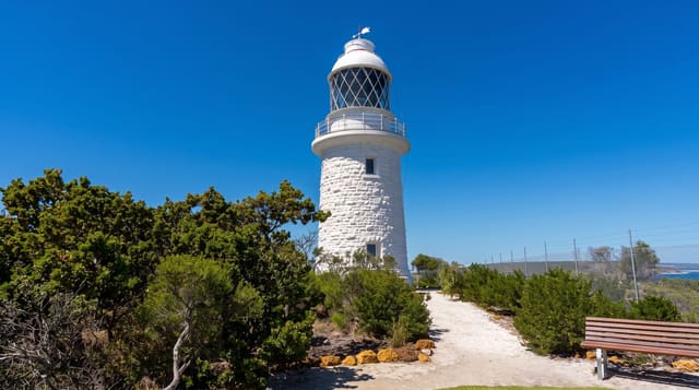
The lighthouse on the Naidi Hills is not old - it was built in 2003, one of three put up in Batanes to serve navigation and, frankly, to give visitors somewhere to stand - but the setting does the work. It occupies a grass headland immediately above Basco with the sea on two sides, the cone of Mount Iraya behind, and the rolling green that makes Batanes look more like the North Atlantic than the tropics. A gallery near the top is open for the view, and a stone building at the base has been used as a café. The hills around it carry the remains of American-era telegraph installations destroyed in the Second World War, and the sunset from the point is the reason most people walk up in the late afternoon. It is fifteen minutes on foot from the town centre, which makes it the easiest sight on the island and usually the first one people see.
History
The lighthouse is one of three proposed by Congressman Florencio Abad of Batanes, both as working lights and as places for visitors, and it was the first finished, in 2003. It stands where the first Basco lighthouse was built, on the site of American-period telegraph facilities that once linked Batanes with the central government (Wikipedia, Basco Lighthouse).
What's there
- The stone tower - the 2003 lighthouse on the headland.
- The Iraya backdrop - the volcano behind Basco.
- The Naidi grassland - green hills running to the cliffs.
- The wartime ruins - remains of the old telegraph station.
When to go
March to June for the calmest, clearest weather. Late afternoon for sunset, which is when the headland fills with the day's visitors.
Before you go
The lighthouse is modern, not historic. Access to the gallery is not guaranteed. The headland is fully exposed - Batanes wind is constant and can be strong enough to make the walk unpleasant.
Nearby
Basco town, Vayang Rolling Hills and Mount Iraya are all close; Mahatao and the Tayid lighthouse are down the east coast.
Key facts
Source: Wikidata, item Q4866328, read on 18 October 2026.
What to pack for Basco Lighthouse
Chosen from what this place is for. Tap a kit for the full checklist.
- Comfortable walking shoes - Sightseeing means kilometres of pavement and cobbles daily. Find on Amazon
- A slim anti-theft daypack - Zips that close properly; keep it in front in crowds and on transit. Find on Amazon
- A refillable water bottle - Many cities have public fountains; save money and plastic. Find on Amazon
- A light layer + compact umbrella - For museum air-con and a sudden shower. Find on Amazon
Some links on this page are Amazon affiliate links - if you buy through them we may earn a small commission at no extra cost to you.
All packing kitsPlan your trip
Where to start if Basco Lighthouse is going on the list.
Booking links on this page are affiliate links - if you book through them we may earn a small commission at no extra cost to you. It never changes what we write about a place.
Opening times, ticket prices and seasonal closures change - check the official source before you go: official site.