Kimolos
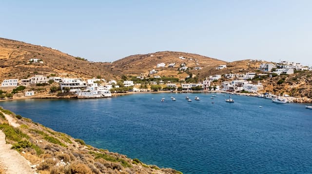
A small volcanic island beside Milos, named for the chalk it exported, with white rock formations and a medieval kastro.
Updated 4 September 2026
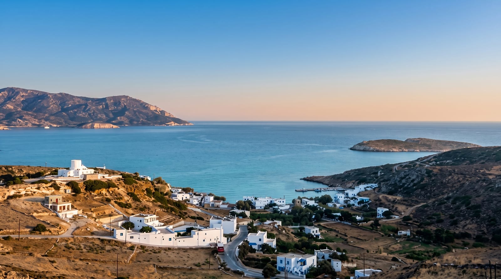
AI illustration
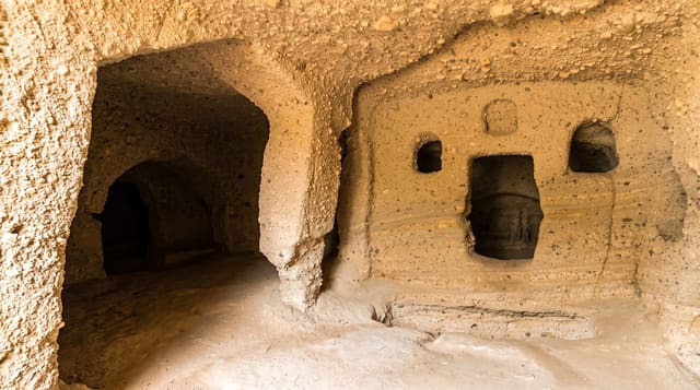
Kimolos gave its name to cimolite, the fine white clay quarried here since antiquity and used for cleaning cloth, and the island's landscape is pale accordingly: white and grey volcanic rock, sparse scrub and turquoise water. The Chorio inland holds a medieval kastro whose houses form a closed defensive ring, partly ruined and partly restored, with churches inside and a small museum. On the north coast, Skiadi is a mushroom-shaped rock left by wind erosion, a short walk from the road; Prassa has fine white sand and shallow water; and the abandoned settlement of Mavrospilia and the islet of Polyaigos, uninhabited and protected, lie offshore, reachable by boat. The island has one road spine, a few hundred residents and a habit of shutting down completely in winter.
The landscape
- The kastro - a ring of medieval houses forming a defensive village.
- Skiadi - a mushroom rock shaped by wind on the northern hills.
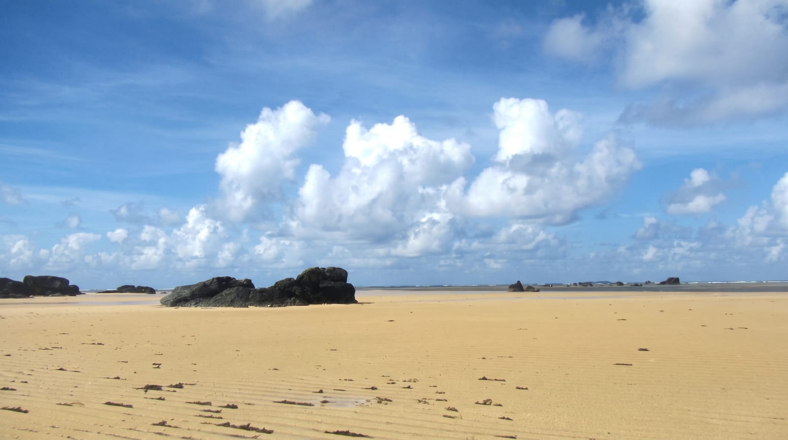
- Prassa beach - white sand and shallow turquoise water.
- Polyaigos - the uninhabited protected island reached by boat.
When to go
May, June and September for warm sea and open tavernas; August brings Greek visitors and rooms are limited. Outside summer, ferries reduce and much of the island closes.
Before you go
Facilities are minimal: a handful of rooms, a few tavernas, no bank. Getting there means going via Milos. Beaches other than Prassa often need a track or a boat, and shade is scarce everywhere.
Nearby
Milos is twenty minutes away by ferry; Polyaigos lies south, reachable only by boat trip.
Key facts
Source: Wikidata, item Q919194, read on 18 October 2026.
What to pack for Kimolos
Chosen from what this place is for. Tap a kit for the full checklist.
- Reef-safe sunscreen - High SPF that will not bleach the coral you are swimming over. Find on Amazon
- Quick-dry towel - A microfibre towel packs small and dries in minutes. Find on Amazon
- Water shoes - Protect your feet on rocky entries, hot sand and sea-urchin spines. Find on Amazon
- Dry bag - Keeps phone, cash and keys safe while you are in the water. Find on Amazon
Some links on this page are Amazon affiliate links - if you buy through them we may earn a small commission at no extra cost to you.
All packing kitsPlan your trip
Where to start if Kimolos is going on the list.
Booking links on this page are affiliate links - if you book through them we may earn a small commission at no extra cost to you. It never changes what we write about a place.
Opening times, ticket prices and seasonal closures change - check the official source before you go: official site.