Jomfruland
A long low island of pebble ridges and old deciduous woodland off Kragero, car-free and best seen by bicycle.
Updated 4 September 2026
AI illustration
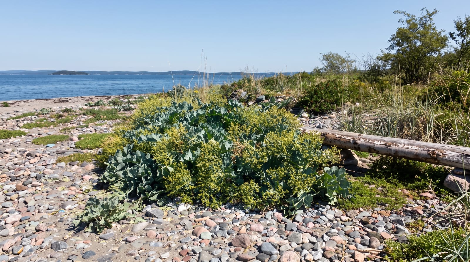
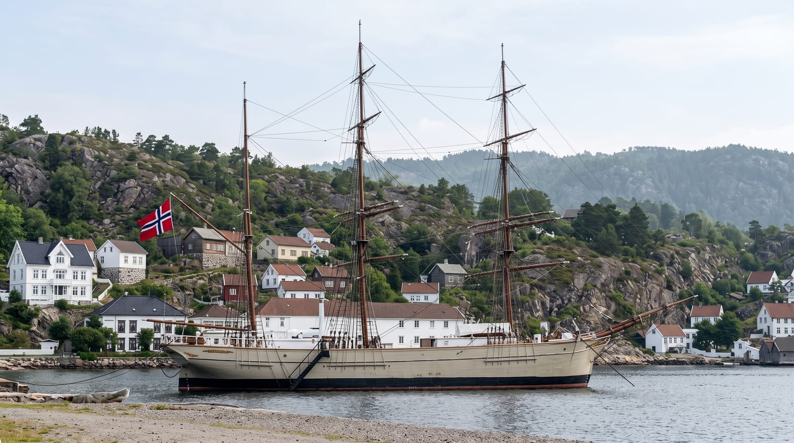
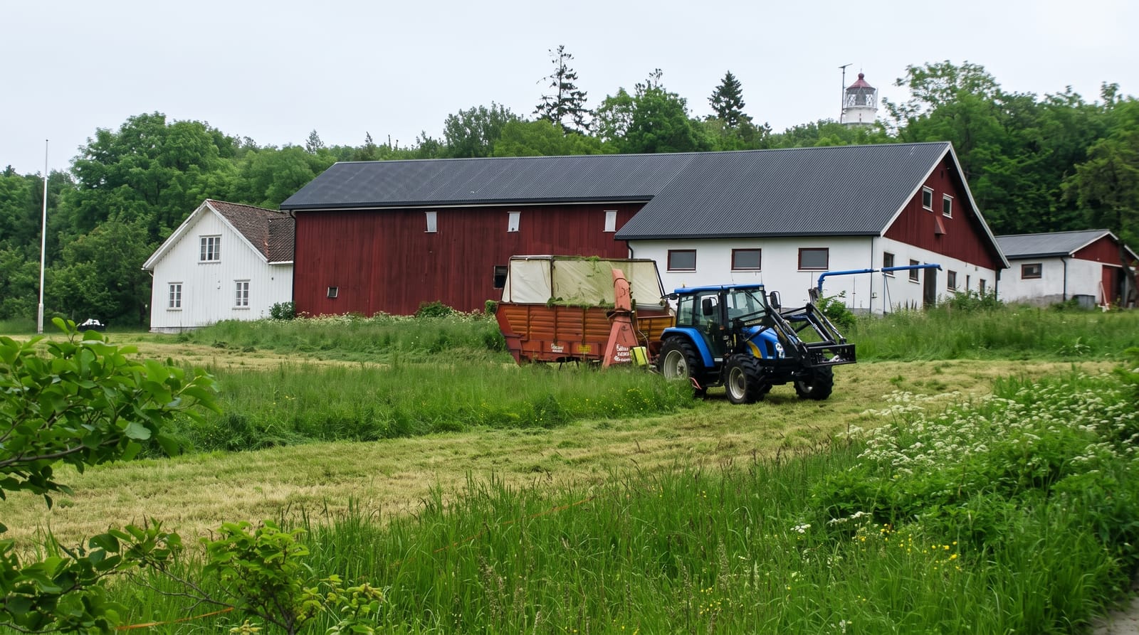
Jomfruland lies about seven kilometres off Kragero, a thin island seven and a half kilometres long formed on the same Ra moraine as Molen, so its eastern shore is a bank of rounded stones facing the open Skagerrak while the western side is sheltered, sandy and wooded. The soil left on the moraine supports an unusually rich deciduous forest of oak, elm, ash and lime, rare at this latitude, and the whole island became part of Jomfruland National Park in 2016. Two lighthouses stand on it, an older stone tower of 1839 and a taller one from 1939. There are almost no cars; bicycles are hired at the quay, and a track runs the length of the island past farms, the church and the shore.
The landscape
- The stone ridge shore - a pebble bank facing the open sea on the east.
- The deciduous forest - oak, elm and lime woodland rare this far north.
- The two lighthouses - towers of 1839 and 1939 on the island.
- The bicycle track - a car-free route the length of the island.
When to go
May to September, when ferries run frequently and the woods are in leaf; the island is a noted bird migration site in spring and autumn. July is the busiest month. Winter service is minimal.
What to expect
Facilities are limited to a couple of cafes and a small shop, open mainly in summer. Accommodation is very restricted, so most visits are day trips tied to ferry times. The eastern shore is exposed and uncomfortable in wind.
Nearby
Kragero town is across the water; Stråholmen island and the Telemark coast are nearby.
Key facts
Source: Wikidata, item Q997483, read on 18 October 2026.
What to pack for Jomfruland
Chosen from what this place is for. Tap a kit for the full checklist.
- Reef-safe sunscreen - High SPF that will not bleach the coral you are swimming over. Find on Amazon
- Padded shorts - The one thing that makes a full day in the saddle bearable. Find on Amazon
- Quick-dry towel - A microfibre towel packs small and dries in minutes. Find on Amazon
- Helmet - Bring your own if you have a good one; rentals vary wildly. Find on Amazon
Some links on this page are Amazon affiliate links - if you buy through them we may earn a small commission at no extra cost to you.
All packing kitsPlan your trip
Where to start if Jomfruland is going on the list.
Booking links on this page are affiliate links - if you book through them we may earn a small commission at no extra cost to you. It never changes what we write about a place.
Opening times, ticket prices and seasonal closures change - check the official source before you go: official site.