Puy Mary
A 1,783-metre volcanic horn at the centre of the Cantal massif, climbed by a stepped path from the highest pass in the Massif Central.
Updated 4 September 2026
AI illustration
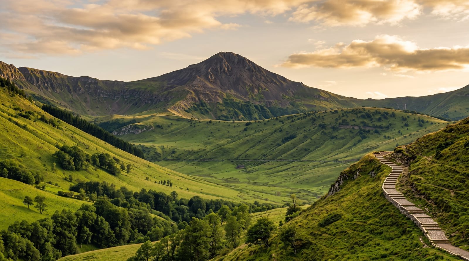
Puy Mary is the shape everyone pictures when they think of the Cantal: a dark pyramid of volcanic rock standing where a set of glacial valleys meet and radiate outward like spokes. The massif around it is the worn remains of one of the largest volcanoes in Europe, long extinct and since cut apart by ice and water, and the summit is the clearest place to read that geometry. The road climbs to the Pas de Peyrol at 1,589 metres, the highest pass in the Massif Central, and a stepped path leaves the car park for the top in about twenty-five minutes. Below, red Salers cattle graze the ridges and the villages are built from the same black stone.
The landscape
- The radiating valleys - Santoire, Mars and Impradine, cut into the old volcano by ice.
- The stepped summit path - a paved staircase built to stop the ridge eroding underfoot.
- The Pas de Peyrol - the highest road pass in the Massif Central at 1,589 metres.
- Salers cattle - the red herds grazing the summer pastures on the slopes below.
When to go
June to October is the reliable window. The pass is closed by snow through much of winter and reopens once the ploughs get through, usually in spring. Mornings are clearer, and the car park at the pass fills by eleven on August days. Cloud sits on the ridge often enough that it is worth checking the summit webcam before driving up.
Good to know
The path is short but steep, and the final stretch is a staircase in the wind that not everyone enjoys. The summit platform is small and holds a queue of people on summer afternoons. Cloud closes the view with no warning. The pass shuts for snow from roughly November, and facilities up there amount to a shop and a snack counter.
Nearby
Salers and the Falgoux valley lie below the ridge, with Aurillac about an hour south.
Key facts
Source: Wikidata, item Q2119428, read on 18 October 2026.
What to pack for Puy Mary
Chosen from what this place is for. Tap a kit for the full checklist.
- Broken-in walking shoes or boots - Grip and ankle support matter more than looks; never hike in brand-new boots. Find on Amazon
- Warm base layers - Merino or synthetic against the skin - never cotton, which chills when damp. Find on Amazon
- Layers for big temperature swings - Warm sun by day, near-freezing at night, even near the equator. Find on Amazon
- Layers + a waterproof shell - Mountain weather turns fast; a packable rain jacket saves the day. Find on Amazon
Some links on this page are Amazon affiliate links - if you buy through them we may earn a small commission at no extra cost to you.
All packing kitsPlan your trip
Where to start if Puy Mary is going on the list.
Booking links on this page are affiliate links - if you book through them we may earn a small commission at no extra cost to you. It never changes what we write about a place.
Opening times, ticket prices and seasonal closures change - check the official source before you go: official site.