Ardoukoba Volcano
The Rift's newest work - a fissure volcano born in 1978 between Lake Assal and the sea, raw lava fields where two continents pull apart underfoot.
Updated 7 August 2026
AI illustration
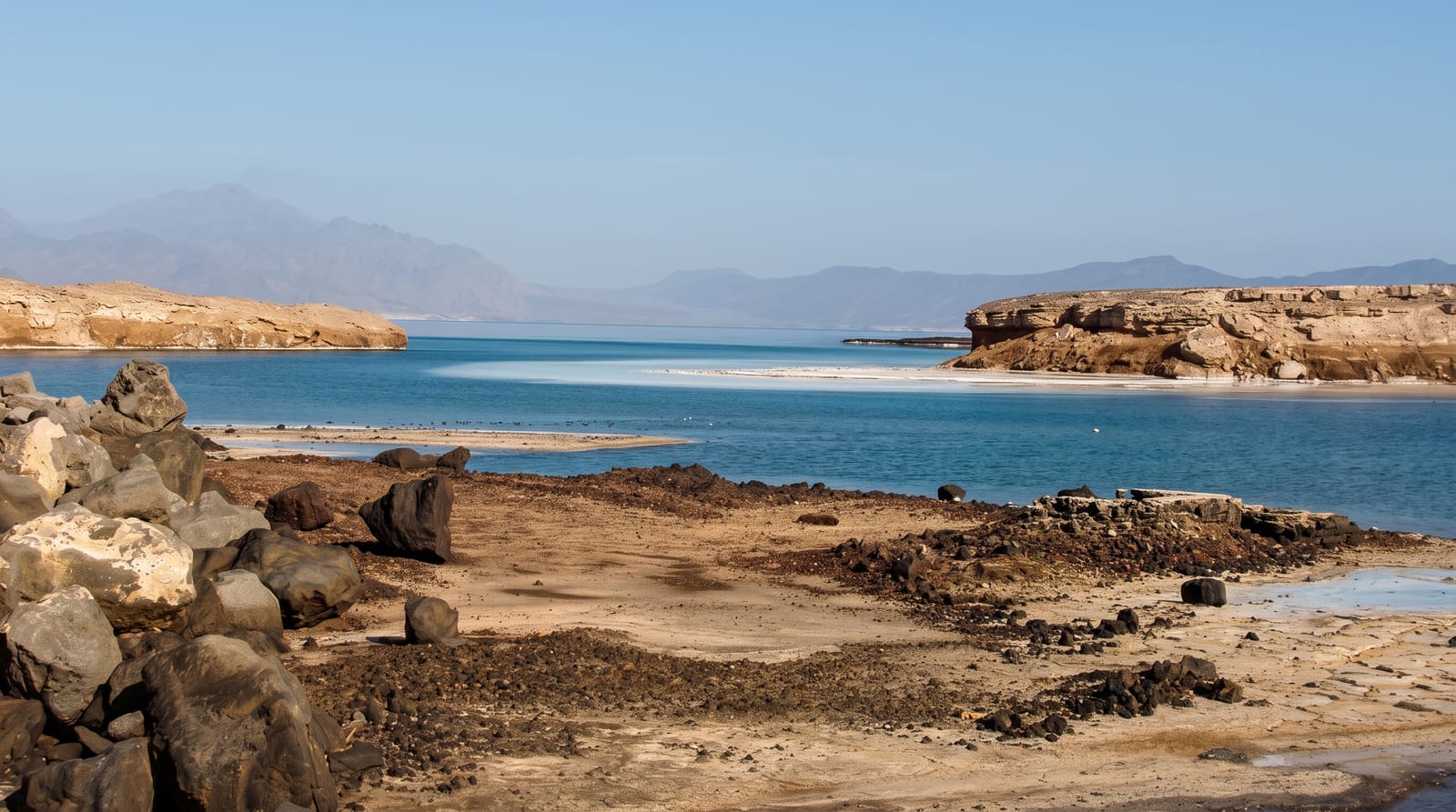
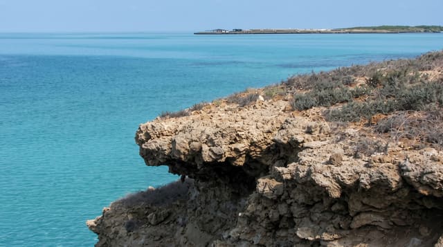
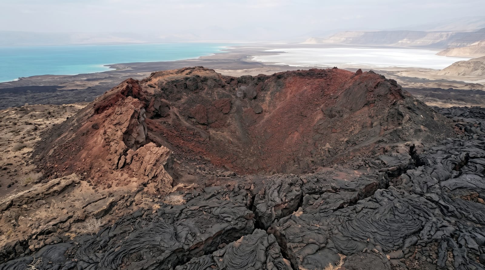
In November 1978, the ground between the Ghoubbet's trapped bay and Lake Assal split open and Ardoukoba built itself in a week - a fissure eruption stacking a fresh black cone and pouring lava fields that still look poured yesterday, barely softened by four decades in this rainless place. The site is geology without metaphor: here the Arabian and African plates are separating, the Great Rift running ashore from the sea, and walkers cross gaping fissures, ropy pahoehoe and cinder slopes to the young crater's rim with the turquoise Ghoubbet on one side and Assal's white salt shining below on the other.
The landscape
- The 1978 cone and crater - the young summit's raw cinder rim.
- The fissure fields - open rift cracks striping the lava plain.
- The Ghoubbet narrows - the almost-closed bay the rift is prising open.
- The Assal panorama - the salt lake's white blaze from the heights.
When to go
November to March only for comfort - the black rock doubles the heat of any sun; early morning gives shadowed textures and mercy. It slots naturally into the Lake Assal day from the capital.
Things to know
There is no infrastructure whatsoever: no paths beyond use-trails, no shade, no water, and lava that eats boots and punishes falls - proper footwear, excess water and a guide who knows the approaches are all non-negotiable. The cone is modest in height; the meaning - standing on a plate boundary's newest seam - is the summit.
Nearby
Lake Assal's salt shores, the Ghoubbet's devil's islets and the road back east.
What to pack for Ardoukoba Volcano
Chosen from what this place is for. Tap a kit for the full checklist.
- Broken-in walking shoes or boots - Grip and ankle support matter more than looks; never hike in brand-new boots. Find on Amazon
- Layers for big temperature swings - Warm sun by day, near-freezing at night, even near the equator. Find on Amazon
- Layers + a waterproof shell - Mountain weather turns fast; a packable rain jacket saves the day. Find on Amazon
- Extra-strong sun protection - Thin air means fierce UV; hat, sunglasses and high-SPF sunscreen. Find on Amazon
Some links on this page are Amazon affiliate links - if you buy through them we may earn a small commission at no extra cost to you.
All packing kitsPlan your trip
Where to start if Ardoukoba Volcano is going on the list.
Booking links on this page are affiliate links - if you book through them we may earn a small commission at no extra cost to you. It never changes what we write about a place.
Opening times, ticket prices and seasonal closures change - check the official source before you go: official site.