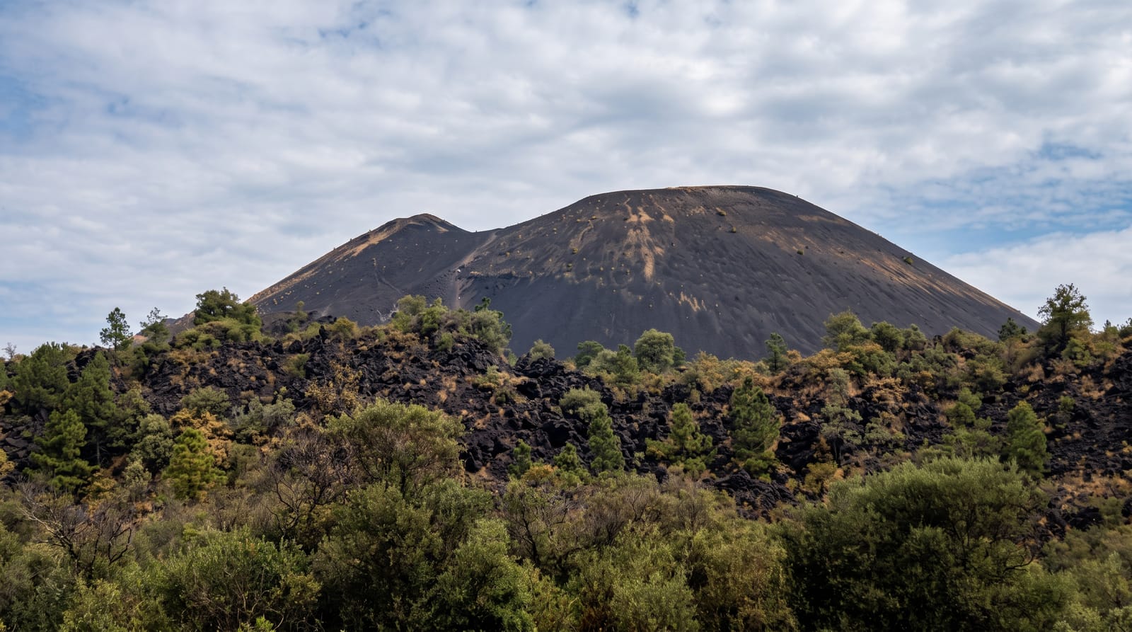
Santa Ana Volcano
The highest volcano in El Salvador at 2,381 metres, with a crater lake of sulphurous green at the top.
Updated 1 September 2026
Ilamatepec, the Santa Ana volcano, reaches 2,381 metres and is the highest in the country, an active cone that last erupted in 2005. The crater at the top holds a lake coloured a strong green-turquoise by dissolved sulphur and minerals, steaming at the edges, set in a bowl of bare rock several hundred metres below the rim. The ascent leaves from Cerro Verde national park at a single fixed time each morning with guides, climbing through forest and then onto open volcanic ground, taking around two hours up. It is not technically difficult but it is exposed and windy near the top. Access closes when volcanic activity increases, which happens periodically.
What's there
- The crater lake - the sulphurous green water in the summit crater.
- The rim - the bare volcanic ground and the drop into the crater.
- The volcano group - Izalco and Cerro Verde from the summit.
- Lake Coatepeque - the caldera lake visible below on clear days.
When to go
November to April for the clearest views; cloud covers the summit from mid-morning for much of the year. The guided ascent leaves once a day, usually around eleven, and arriving late means missing it.
What to expect
The ascent runs at one fixed time with guides and cannot be done independently. The summit is windy, exposed and cold. Cloud often removes the view of the lake. Access is closed when activity levels rise, sometimes for extended periods.
Nearby
Cerro Verde is the trailhead; Lake Coatepeque lies below.
Key facts
Source: Wikidata, item Q1049338, read on 18 October 2026.
What to pack for Santa Ana Volcano
Chosen from what this place is for. Tap a kit for the full checklist.
- Broken-in walking shoes or boots - Grip and ankle support matter more than looks; never hike in brand-new boots. Find on Amazon
- Layers + a waterproof shell - Mountain weather turns fast; a packable rain jacket saves the day. Find on Amazon
- Daypack with rain cover - 20-30 litres holds water, snacks, layers and a first-aid kit. Find on Amazon
- Offline maps + a power bank - Download the trail before you lose signal; carry backup charge. Find on Amazon
Some links on this page are Amazon affiliate links - if you buy through them we may earn a small commission at no extra cost to you.
All packing kitsPlan your trip
Where to start if Santa Ana Volcano is going on the list.
Booking links on this page are affiliate links - if you book through them we may earn a small commission at no extra cost to you. It never changes what we write about a place.
Opening times, ticket prices and seasonal closures change - check the official source before you go: official site.