Lanín National Park
A park built around a near-perfect volcanic cone, with lakes, forests of monkey puzzle trees and Mapuche communities living within it.
Updated 12 October 2026
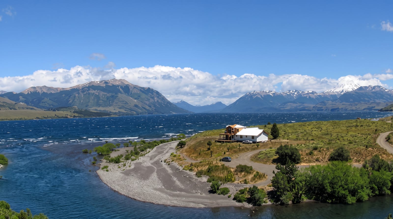
AI illustration
Lanín national park takes its name and its shape from the Lanín volcano, a snow-covered cone of 3,776 metres that stands alone on the Chilean border and is visible from most of the park. Around it lie a chain of glacial lakes, Huechulafquen, Paimún, Curruhué and Tromen among them, and forests that change with altitude and rainfall, most notably the pehuén or monkey puzzle, a spiny, umbrella-shaped conifer that grows in pure stands in the north of the park and whose seeds have been a staple food of the Mapuche for centuries. Several Mapuche communities live within the park and co-manage areas of it. Trails range from lakeside walks to the demanding guided ascent of the volcano.
What you'll find
- Lanín volcano - the isolated snow cone dominating the park.
- The pehuén forests - stands of monkey puzzle trees in the northern sectors.
- The glacial lakes - Huechulafquen, Paimún, Tromen and others.
- The Mapuche communities - settlements co-managing areas and offering camping and food.
When to go
December to March for hiking and the volcano ascent, which needs registration, a guide and equipment. Autumn brings colour; winter closes many roads with snow. Weather changes fast in every season.
Things to know
Roads within the park are largely gravel and slow, and some sectors are far apart. The volcano climb is a serious mountaineering objective, not a hike. Facilities are basic outside the main lakeside campsites, and fees are charged at several points.
Nearby
Junín de los Andes and San Martín de los Andes are the base towns; Lago Huechulafquen lies at the volcano's foot.
Key facts
Source: Wikidata, item Q828206, read on 18 October 2026.
What to pack for Lanín National Park
Chosen from what this place is for. Tap a kit for the full checklist.
- Broken-in walking shoes or boots - Grip and ankle support matter more than looks; never hike in brand-new boots. Find on Amazon
- Binoculars - The single best wildlife tool - even a compact pair transforms a sighting. Find on Amazon
- Warm base layers - Merino or synthetic against the skin - never cotton, which chills when damp. Find on Amazon
- Layers for big temperature swings - Warm sun by day, near-freezing at night, even near the equator. Find on Amazon
Some links on this page are Amazon affiliate links - if you buy through them we may earn a small commission at no extra cost to you.
All packing kitsPlan your trip
Where to start if Lanín National Park is going on the list.
Booking links on this page are affiliate links - if you book through them we may earn a small commission at no extra cost to you. It never changes what we write about a place.
Opening times, ticket prices and seasonal closures change - check the official source before you go: official site.