Mount Kanlaon
Negros' active volcano - the island's highest peak, with forest trails, a crater rim and an alert status that governs access.
Updated 18 October 2026

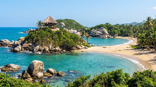
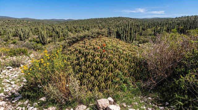
AI illustration
Kanlaon rises to about two thousand four hundred metres in the centre of Negros, the highest point on the island and one of the country's most active volcanoes - it has erupted repeatedly in recent decades, and the crater has claimed lives when climbers were on the mountain during unexpected activity. The national park around it protects a large block of forest that supplies water to both provinces and shelters species found only on Negros, and the lower trails around Guintubdan pass waterfalls, mossy forest and viewpoints without going anywhere near the summit. Climbing to the crater rim is a two- or three-day route that is open only when the volcano's alert level permits, and permits, guides and registration are mandatory and genuinely enforced. Anyone planning a climb should check the current status with the Philippine Institute of Volcanology and Seismology and the park office before committing to dates, since closures happen at short notice and last for months.
History
The name means "[place] of Laon", after the pre-colonial Visayan goddess of creation, agriculture and justice, whose own name means "the ancient one". In the late Spanish colonial period the volcano was briefly renamed Malaspina, after the explorer Alejandro Malaspina of the 1789-1794 expedition. At 2,465 metres it is the highest peak of Negros and of the whole Visayas (Wikipedia, Kanlaon).
The landscape
- The crater rim - the summit objective when access is open.
- The Guintubdan trails - waterfalls and forest on the lower slopes.
- The mossy forest - the high belt below the ash zone.
- The Negros view - both coasts from the upper ridges.
When to go
March to May is the driest window, but the deciding factor is the alert level, not the season. Closures are frequent and can be indefinite; confirm status before travelling.
Practical notes
This is an active volcano - eruptions have occurred with little warning and the summit is closed whenever the alert level rises. Permits and guides are compulsory. The climb is long, cold at altitude and physically demanding.
Nearby
The Mambukal hot springs resort sits on the mountain's western flank; Bacolod and Silay are on the coast.
Key facts
Source: Wikidata, item Q1723814, read on 18 October 2026.
What to pack for Mount Kanlaon
Chosen from what this place is for. Tap a kit for the full checklist.
- Broken-in walking shoes or boots - Grip and ankle support matter more than looks; never hike in brand-new boots. Find on Amazon
- Binoculars - The single best wildlife tool - even a compact pair transforms a sighting. Find on Amazon
- Shelter suited to the place - Tent, tarp or hut booking - match it to the terrain and rules. Find on Amazon
- Swimwear - Needed at most public thermal pools; some traditional baths are nude and single-sex. Find on Amazon
Some links on this page are Amazon affiliate links - if you buy through them we may earn a small commission at no extra cost to you.
All packing kitsPlan your trip
Where to start if Mount Kanlaon is going on the list.
Booking links on this page are affiliate links - if you book through them we may earn a small commission at no extra cost to you. It never changes what we write about a place.
Opening times, ticket prices and seasonal closures change - check the official source before you go: official site.