Matusadona National Park
A park on the southern shore of Lake Kariba, where drowned trees stand in the shallows below an escarpment.
Updated 2 September 2026
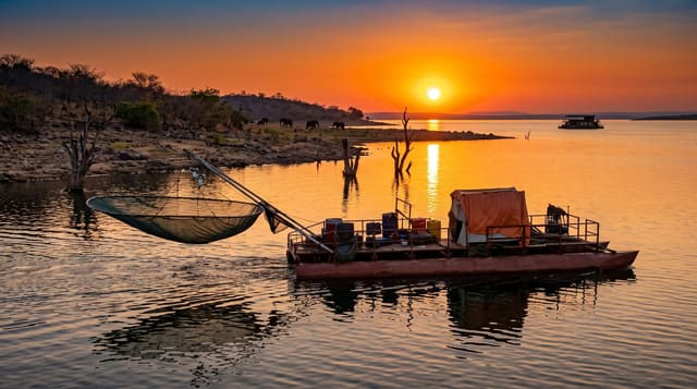
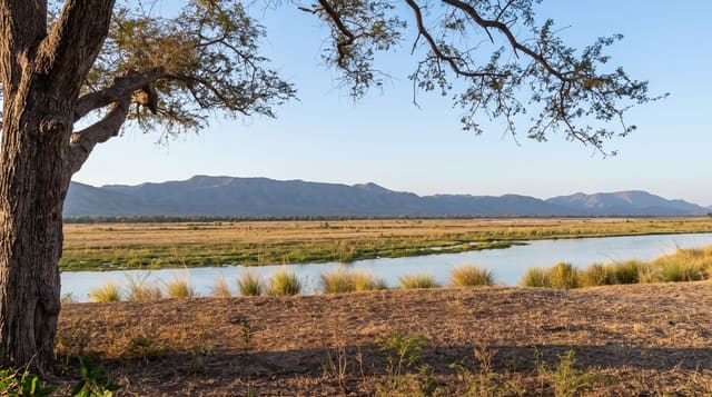
Matusadona runs along the southern shore of Lake Kariba between the water and the escarpment behind it, and the flooding of the valley in the 1950s left drowned mopane trees standing in the shallows, which is the image the park is known for. Elephant and buffalo work the shoreline grassland, and the park has been managed since 2019 in a partnership that has brought in new investment. Access is mainly by boat or air.
What's there
- The drowned trees - mopane skeletons standing in the lake shallows.
- The shoreline grassland - the flush the receding water leaves for game.
- The escarpment - the wall rising behind the park inland.
- The lake - Kariba stretching away to the north.
When to go
May to October is the dry season and best for game on the shoreline. The rains disperse the animals inland. The lake level varies and changes the shoreline.
What to expect
Road access is poor and most visitors arrive by boat or light aircraft, which is expensive. Game numbers fell badly in past decades and recovery is ongoing. Facilities inside the park are limited.
Nearby
Kariba is northeast, and Chizarira is southwest.
Key facts
Source: Wikidata, item Q1375934, read on 18 October 2026.
What to pack for Matusadona National Park
Chosen from what this place is for. Tap a kit for the full checklist.
- Broken-in walking shoes or boots - Grip and ankle support matter more than looks; never hike in brand-new boots. Find on Amazon
- Binoculars - The single best wildlife tool - even a compact pair transforms a sighting. Find on Amazon
- Layers + a waterproof shell - Mountain weather turns fast; a packable rain jacket saves the day. Find on Amazon
- A zoom camera or long lens - Animals rarely come close; reach beats megapixels. Find on Amazon
Some links on this page are Amazon affiliate links - if you buy through them we may earn a small commission at no extra cost to you.
All packing kitsPlan your trip
Where to start if Matusadona National Park is going on the list.
Booking links on this page are affiliate links - if you book through them we may earn a small commission at no extra cost to you. It never changes what we write about a place.
Opening times, ticket prices and seasonal closures change - check the official source before you go: official site.