Chaguaramas Peninsula
A wooded peninsula west of the capital, a former American base now given to marinas, trails and boat trips.
Updated 2 September 2026
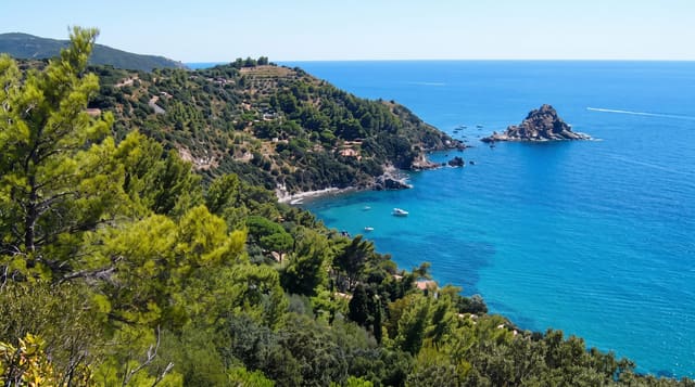
The Chaguaramas peninsula runs west from Port of Spain towards the islands in the Bocas, and it was leased to the United States as a naval base from 1941 until 1967, which is why it stayed undeveloped. It is now a national park in name and a recreation area in practice: marinas and boatyards used by yachts sitting out the hurricane season, forest trails up to Edith Falls and Mount Catherine, a zip line, and boats out to the islands.
What's there
- The boatyards - yards where yachts lay up out of the hurricane belt.
- The forest trails - walks to Edith Falls and up Mount Catherine.
- The island boats - departures for Gasparee, Chacachacare and the Bocas.
- The military history - the remains of the American base that held the peninsula.
When to go
January to May is driest and best for the trails. The yacht season runs through the hurricane months from June to November. Weekends bring crowds from the city.
What to expect
The national park designation is largely nominal and development has continued. Trails are poorly marked and guides are advisable. Weekend traffic on the western main road is heavy.
Nearby
Gasparee Caves are offshore, and Port of Spain is east.
What to pack for Chaguaramas Peninsula
Chosen from what this place is for. Tap a kit for the full checklist.
- Head torch + spare batteries - Hands-free light is essential; caves are truly dark. Find on Amazon
- Comfortable walking shoes - Sightseeing means kilometres of pavement and cobbles daily. Find on Amazon
- Grippy closed shoes - Cave floors are wet, muddy and slick with formations. Find on Amazon
- A slim anti-theft daypack - Zips that close properly; keep it in front in crowds and on transit. Find on Amazon
Some links on this page are Amazon affiliate links - if you buy through them we may earn a small commission at no extra cost to you.
All packing kitsPlan your trip
Where to start if Chaguaramas Peninsula is going on the list.
Booking links on this page are affiliate links - if you book through them we may earn a small commission at no extra cost to you. It never changes what we write about a place.
Opening times, ticket prices and seasonal closures change - check the official source before you go: official site.