Dampier Peninsula and Cape Leveque
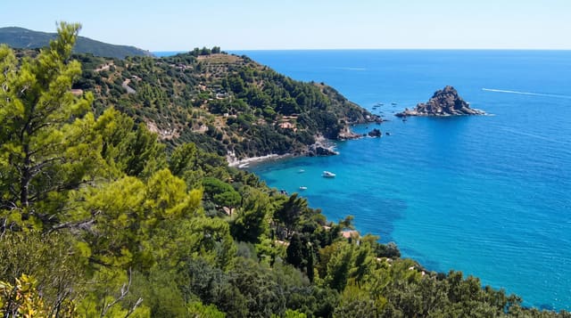
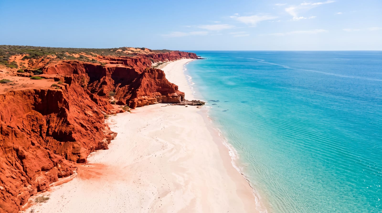
Red pindan cliffs meeting white sand and turquoise water, on Aboriginal country north of Broome.
Updated 4 September 2026
AI illustration
The Dampier Peninsula runs north from Broome to Cape Leveque, and its coast is a striking combination: cliffs of deep red pindan soil dropping onto white sand with turquoise water below, a colour contrast unlike anywhere else in Australia. The land belongs to Bardi, Jawi, Nyul Nyul and other communities, and visiting means engaging with them: cultural tours, mud crabbing, fishing and accommodation are run by community enterprises at Kooljaman, Beagle Bay, Lombadina and Cygnet Bay. Beagle Bay's church, built by Pallottine missionaries and completed in 1918, has an altar decorated entirely in mother of pearl. The road from Broome was sealed in 2020, transforming access.
The landscape
- The red cliffs - pindan soil dropping to white beaches and turquoise water.
- Beagle Bay church - the 1918 mission church with a mother of pearl altar.
- The community tours - cultural, fishing and mud crabbing trips run locally.
- Cygnet Bay - the working pearl farm with tours and accommodation.
When to go
May to September for the dry season; the wet brings heat, storms and road closures even on the sealed section. Community businesses close for parts of the wet. Booking accommodation ahead is essential in the dry.
Before you go
This is Aboriginal land and visitors need permits or bookings for most places; turning up unannounced is not appropriate. Fuel and supplies are limited and expensive. Crocodiles are present along the coast and swimming is only advisable at designated beaches.
Nearby
Broome lies south; the Buccaneer Archipelago is off the peninsula's eastern side.
What to pack for Dampier Peninsula and Cape Leveque
Chosen from what this place is for. Tap a kit for the full checklist.
- Broken-in walking shoes or boots - Grip and ankle support matter more than looks; never hike in brand-new boots. Find on Amazon
- Travel rod + reel - A packable multi-piece rod fits in a case and covers most holiday fishing. Find on Amazon
- Reef-safe sunscreen - High SPF that will not bleach the coral you are swimming over. Find on Amazon
- Layers + a waterproof shell - Mountain weather turns fast; a packable rain jacket saves the day. Find on Amazon
Some links on this page are Amazon affiliate links - if you buy through them we may earn a small commission at no extra cost to you.
All packing kitsPlan your trip
Where to start if Dampier Peninsula and Cape Leveque is going on the list.
Booking links on this page are affiliate links - if you book through them we may earn a small commission at no extra cost to you. It never changes what we write about a place.
Opening times, ticket prices and seasonal closures change - check the official source before you go: official site.