Monte San Salvatore
A sugarloaf peak over Lugano climbed by an 1890 funicular, with a lightning research station on top.
Updated 30 August 2026
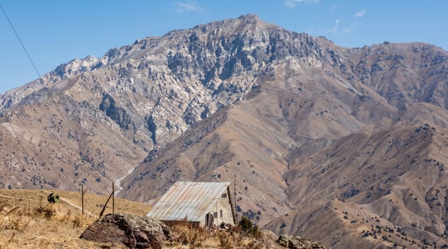
San Salvatore rises to 912 metres in a distinct cone at the end of the peninsula that splits Lake Lugano, and the funicular up it has run since 1890. From the summit the lake is visible on both sides at once, with the Ticino Alps north and, in clear air, the Monte Rosa massif west. A small church and a museum on the mountain's history sit at the top, and the roof terrace is reached by a short flight of stairs. The peak carries a long-running lightning research station: the summit is struck often enough that measurements taken here since the 1940s underpin a significant part of what is known about lightning behaviour. Paths descend to Carona and Morcote through chestnut woods.
What you'll find
- The lake on both sides - the peninsula splitting Lake Lugano below.
- An 1890 funicular - the original line from Paradiso.
- A lightning research station - decades of strike measurements from the summit.
- Descents through chestnut woods - paths to Carona and Morcote.
When to go
March to November. Half a day.
Good to know
The funicular closes for winter and for maintenance. Haze over the lake often hides the far peaks. The summit area is small and the terrace crowds at sunset. The walk down to Morcote is longer than it looks.
Nearby
Lugano is at the base; Morcote and Carona are on the descent.
Key facts
Source: Wikidata, item Q16543, read on 18 October 2026.
What to pack for Monte San Salvatore
Chosen from what this place is for. Tap a kit for the full checklist.
- Broken-in walking shoes or boots - Grip and ankle support matter more than looks; never hike in brand-new boots. Find on Amazon
- Layers for big temperature swings - Warm sun by day, near-freezing at night, even near the equator. Find on Amazon
- Layers + a waterproof shell - Mountain weather turns fast; a packable rain jacket saves the day. Find on Amazon
- Extra-strong sun protection - Thin air means fierce UV; hat, sunglasses and high-SPF sunscreen. Find on Amazon
Some links on this page are Amazon affiliate links - if you buy through them we may earn a small commission at no extra cost to you.
All packing kitsPlan your trip
Where to start if Monte San Salvatore is going on the list.
Booking links on this page are affiliate links - if you book through them we may earn a small commission at no extra cost to you. It never changes what we write about a place.
Opening times, ticket prices and seasonal closures change - check the official source before you go: official site.