Skaneleden Trail
About 1,300 kilometres of marked walking route in six sub-trails across Skane, coast to forest to ridge.
Updated 30 August 2026
Skaneleden is not one path but six numbered trails covering roughly 1,300 kilometres between them, and they are designed to be walked in day sections as much as end to end: the coast-to-coast route across the province, the north-to-south, the Osterlen loop, the ridge and forest routes in the north-east, and the Oresund coastal stretch. Waymarking is orange, stages generally run between eight and twenty kilometres, and most sections start and finish somewhere with public transport, which is the useful part. Simple shelters and fireplaces are spaced along the way, and Sweden's right of public access allows camping. The terrain is gentle by Nordic standards.
What's there
- Six numbered sub-trails - about 1,300 kilometres in total.
- Stages of eight to twenty kilometres - built for day walking.
- Shelters and fireplaces - spaced along the routes.
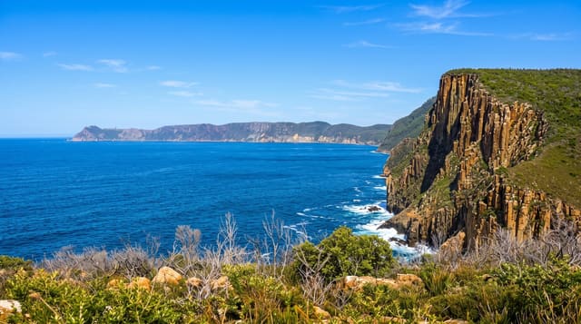
- Coast, beech forest and ridge - the range of Skane landscape.
When to go
April to October; late spring for beech leaf. A day to several weeks.
Things to know
Some sections follow roads and farmland rather than wild country. Shelters fill in summer and cannot be booked. Waymarking varies in quality between sections. Water sources are not reliable - carry your own.
Nearby
Soderasen and Kullaberg are on the routes; Osterlen has its own loop.
What to pack for Skaneleden Trail
Chosen from what this place is for. Tap a kit for the full checklist.
- Comfortable walking shoes - Sightseeing means kilometres of pavement and cobbles daily. Find on Amazon
- Shelter suited to the place - Tent, tarp or hut booking - match it to the terrain and rules. Find on Amazon
- A slim anti-theft daypack - Zips that close properly; keep it in front in crowds and on transit. Find on Amazon
- A warm sleeping bag + mat - Rated a little colder than you expect the nights to be. Find on Amazon
Some links on this page are Amazon affiliate links - if you buy through them we may earn a small commission at no extra cost to you.
All packing kitsPlan your trip
Where to start if Skaneleden Trail is going on the list.
Booking links on this page are affiliate links - if you book through them we may earn a small commission at no extra cost to you. It never changes what we write about a place.
Opening times, ticket prices and seasonal closures change - check the official source before you go: official site.