Bibbulmun Track
A thousand-kilometre walking track from the Perth Hills to Albany, through jarrah and karri forest to the south coast.
Updated 18 October 2026
AI illustration
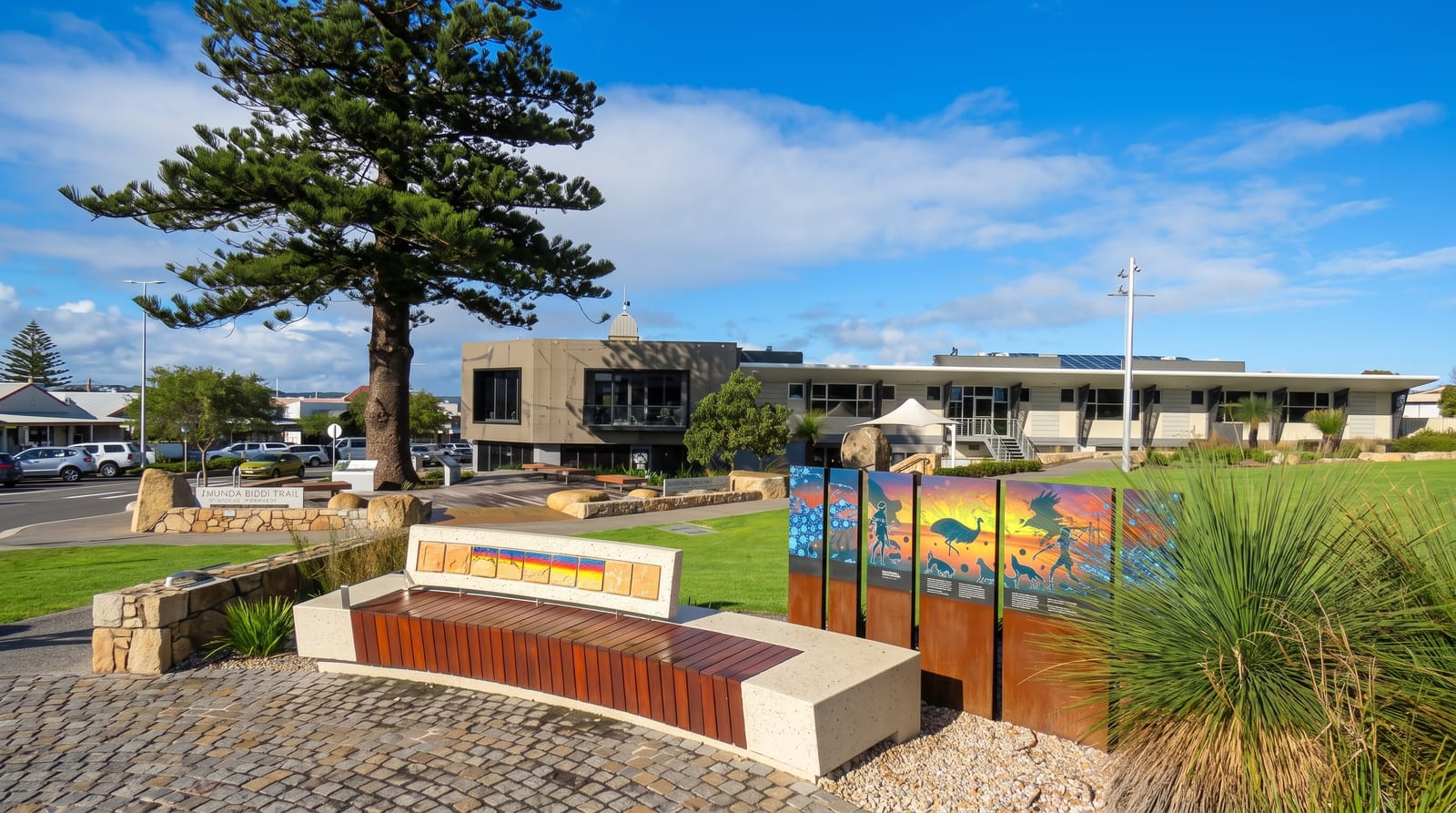
The Bibbulmun Track runs about a thousand kilometres from Kalamunda in the Perth Hills to Albany on the south coast, marked throughout by the waugal, a serpent from Noongar tradition, on yellow triangles. It passes through jarrah and marri forest, the tall karri and tingle forests of the southwest, granite outcrops, river valleys and finally the coastal heath and beaches of the south coast. Around fifty campsites with three-sided timber shelters, rainwater tanks and pit toilets sit roughly a day apart, free and first-come. End-to-end walkers take six to eight weeks; most people walk sections, with popular stretches around Dwellingup, Pemberton and Walpole.
History
Bushwalking, youth hostel, scouting and caving groups proposed the track in 1972 and planned it with the Forests Department of Western Australia; it opened in 1979, its route was changed twice, partly because forest along it was threatened by logging, bauxite mining or dieback, and the third alignment, extended to Albany, opened in 1998, keeping less than ten per cent of the earlier routes. The name comes from the Bibbulmun, the Noongar people of the Perth area (Wikipedia, Bibbulmun Track).
The main sights
- The forests - jarrah, marri, karri and tingle along the length of the track.
- The trail campsites - timber shelters and tanks spaced about a day apart.
- The waugal markers - the yellow serpent signs guiding the route.
- The south coast - heath, granite and beaches on the final sections.
When to go
April to November; summer brings extreme fire danger, heat and closures, and walking then is discouraged. Wildflowers peak from August to October. Winter is wet and cold but the forests are at their best.
Before you go
Water at campsites comes from rainwater tanks that can run dry in late summer, so carrying capacity and checking tank reports matter. Shelters are first-come and can be full in peak season. Fire bans close sections at short notice.
Nearby
Kalamunda is the northern end; Albany, Pemberton and Walpole sit on the route.
Key facts
Source: Wikidata, item Q4902980, read on 18 October 2026.
What to pack for Bibbulmun Track
Chosen from what this place is for. Tap a kit for the full checklist.
- Broken-in walking shoes or boots - Grip and ankle support matter more than looks; never hike in brand-new boots. Find on Amazon
- Reef-safe sunscreen - High SPF that will not bleach the coral you are swimming over. Find on Amazon
- Comfortable walking shoes - Sightseeing means kilometres of pavement and cobbles daily. Find on Amazon
- Shelter suited to the place - Tent, tarp or hut booking - match it to the terrain and rules. Find on Amazon
Some links on this page are Amazon affiliate links - if you buy through them we may earn a small commission at no extra cost to you.
All packing kitsPlan your trip
Where to start if Bibbulmun Track is going on the list.
Booking links on this page are affiliate links - if you book through them we may earn a small commission at no extra cost to you. It never changes what we write about a place.
Opening times, ticket prices and seasonal closures change - check the official source before you go: official site.