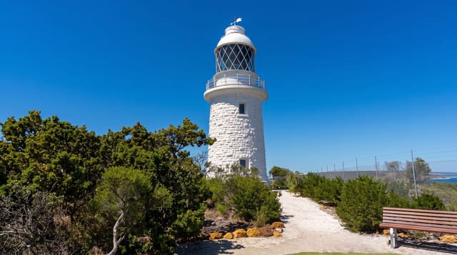
Cape to Cape Track
A 123-kilometre coastal walk between two lighthouses, following the cliffs and beaches of the Margaret River coast.
Updated 18 October 2026
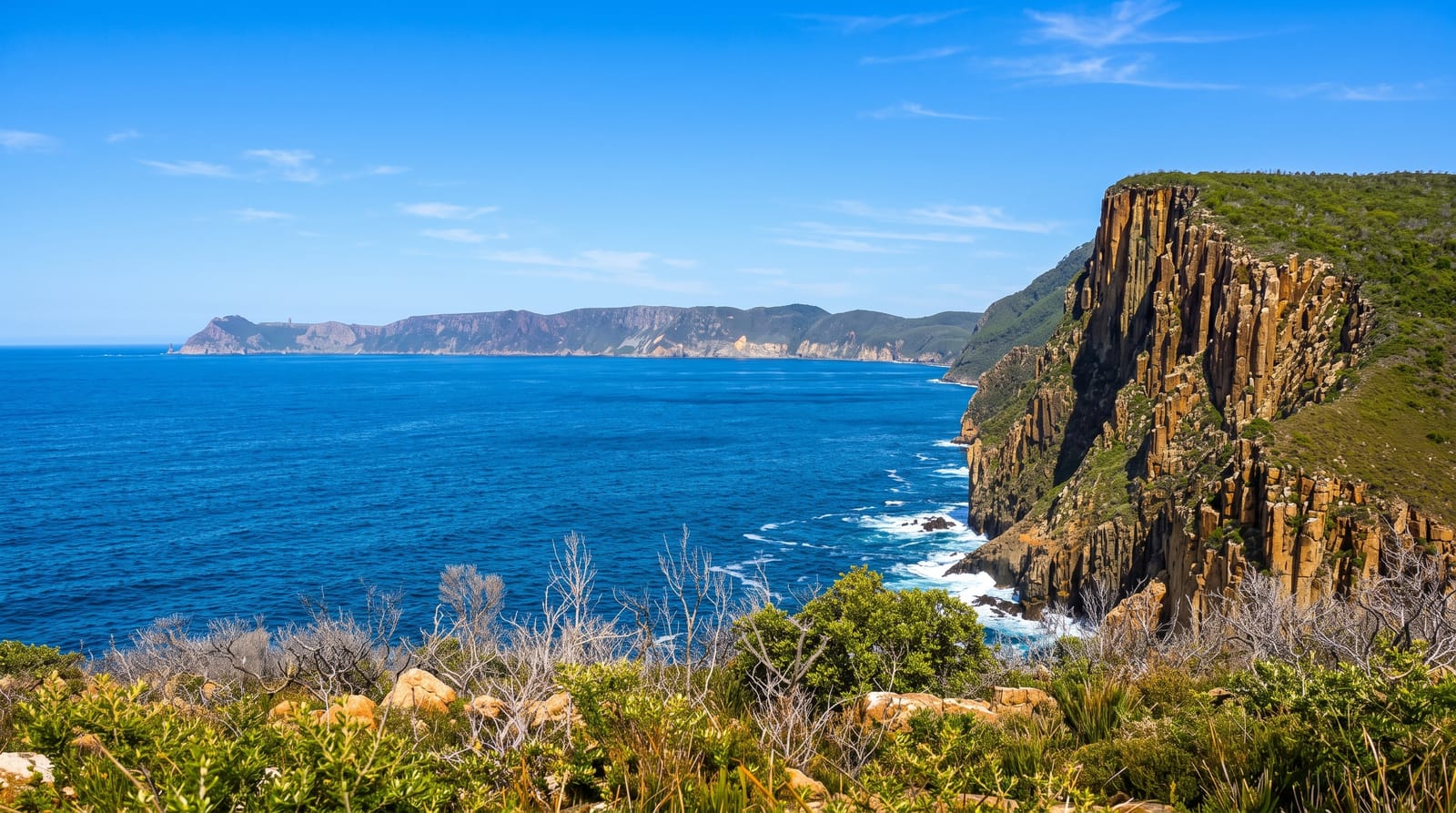
AI illustration
The Cape to Cape Track runs about a hundred and twenty-three kilometres along the Leeuwin-Naturaliste Ridge between the lighthouses at Cape Naturaliste and Cape Leeuwin, following clifftops, beaches, granite headlands and karri and peppermint forest, with the Indian Ocean on one side for almost its entire length. Most walkers take five to seven days, staying in trail campsites or using vehicle support to sleep in Margaret River and Yallingup, and many others walk sections as day trips, with the stretch from Wilyabrup cliffs and around Cape Freycinet particularly good. Wildflowers cover the coastal heath in spring, and whales pass offshore through the second half of the year.
History
The Wardandi people are the first inhabitants of the area, and the French explorer Nicolas Baudin met them along this coast in 1801, the first recorded European visit; soon after settlers landed at Augusta in March 1831, five men walked to the Swan River and recorded the stretch to Cape Naturaliste, travelling on the beaches or along the low ridge inland and taking six days, much as walkers do now. As roads came to cross the ridge east to west and the bush between grew thick, the coast and much of the ridge were reserved as the Leeuwin-Naturaliste National Park, and in the 1980s a local resident, Jane Scott, found ways of walking from one cape to the other (Wikipedia, Cape to Cape Track).
What's there
- The clifftops - limestone and granite headlands above the Indian Ocean.
- The beaches - long sand sections including soft stretches that slow walking.
- The spring wildflowers - heath flowering along the ridge from August.
- The two lighthouses - Naturaliste and Leeuwin at either end.
When to go
April to November; summer is hot and exposed with limited water. Wildflowers peak from August to October, and whales pass from September. Winter is wet but walkable, with the forest sections at their best.
Before you go
Long beach sections in soft sand are far more tiring than the distances suggest. Water on the track is limited and must be carried or cached. Campsites are basic and book out in spring. Exposure to sun and wind is constant on the cliff sections.
Nearby
Margaret River lies inland midway; Augusta and Dunsborough anchor the ends.
Key facts
Source: Wikidata, item Q5035210, read on 18 October 2026.
What to pack for Cape to Cape Track
Chosen from what this place is for. Tap a kit for the full checklist.
- Broken-in walking shoes or boots - Grip and ankle support matter more than looks; never hike in brand-new boots. Find on Amazon
- Reef-safe sunscreen - High SPF that will not bleach the coral you are swimming over. Find on Amazon
- Binoculars - The single best wildlife tool - even a compact pair transforms a sighting. Find on Amazon
- Comfortable walking shoes - Sightseeing means kilometres of pavement and cobbles daily. Find on Amazon
Some links on this page are Amazon affiliate links - if you buy through them we may earn a small commission at no extra cost to you.
All packing kitsPlan your trip
Where to start if Cape to Cape Track is going on the list.
Booking links on this page are affiliate links - if you book through them we may earn a small commission at no extra cost to you. It never changes what we write about a place.
Opening times, ticket prices and seasonal closures change - check the official source before you go: official site.