Masca Gorge
A hamlet on a ridge in western Tenerife above a gorge that drops six hundred metres to a black beach on the Atlantic.
Updated 21 October 2026

AI illustration
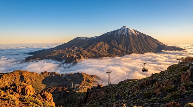
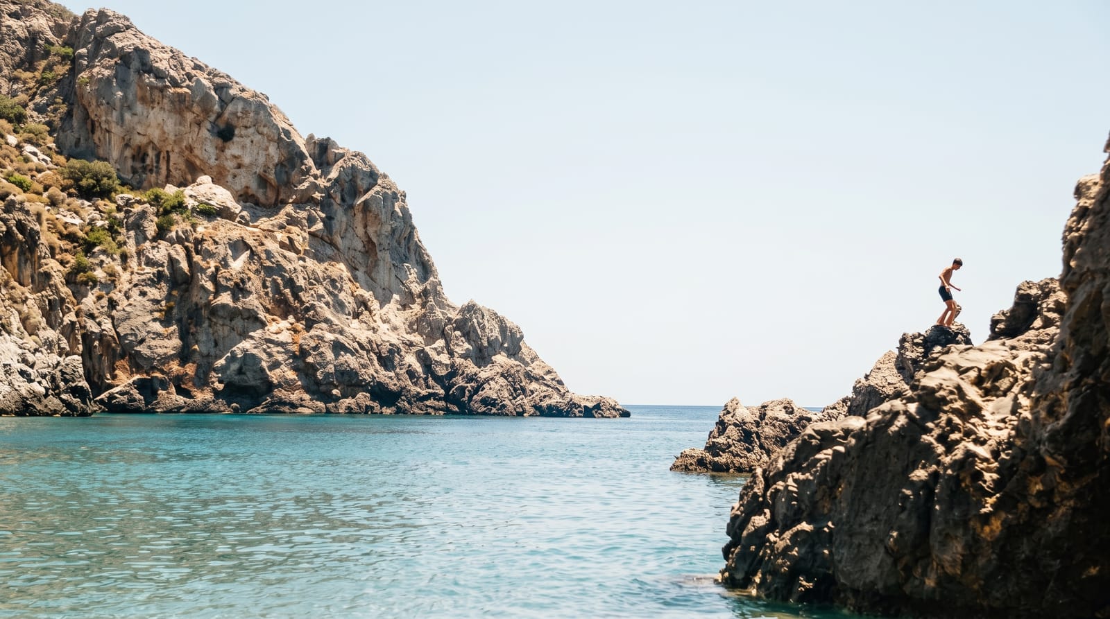
Masca is a scatter of houses on a knife-edge ridge in the Teno massif, reachable by a road of extreme hairpins, and before a road reached it in the late twentieth century it was among the most isolated settlements in the Canaries. Below it, the Barranco de Masca cuts down about six hundred metres to a small black beach on the Atlantic, and the descent through it, past walls that narrow to a few metres and volcanic rock in bands of colour, has long been one of the best-known walks on the island. After rockfalls the gorge was closed in 2018 and reopened in 2021 under strict control: numbers are capped, booking is compulsory, helmets are issued and a boat or the same route back is required.
The landscape
- The ridge hamlet - houses on a knife-edge with gorges on both sides.
- The gorge descent - six hundred metres down between narrowing walls.
- The black beach - a small volcanic shore at the gorge mouth.
- The hairpin road - an extreme route in from the Teno plateau.
When to go
October to May for cooler walking; the gorge closes in rain and heat warnings. Booking is compulsory and opens in advance with a daily cap. The village itself can be visited without booking.
Before you go
The gorge cannot be entered without an advance booking, and walk-up attempts are refused. Helmets are compulsory because of rockfall. The boat pick-up must be arranged and is cancelled in swell, leaving the climb back out. The access road is genuinely difficult to drive.
Nearby
The Teno massif and Punta de Teno lie north; Los Gigantes cliffs are south along the coast.
Key facts
Source: Wikidata, item Q19605621, read on 18 October 2026.
What to pack for Masca Gorge
Chosen from what this place is for. Tap a kit for the full checklist.
- Broken-in walking shoes or boots - Grip and ankle support matter more than looks; never hike in brand-new boots. Find on Amazon
- Layers + a waterproof shell - Mountain weather turns fast; a packable rain jacket saves the day. Find on Amazon
- Daypack with rain cover - 20-30 litres holds water, snacks, layers and a first-aid kit. Find on Amazon
- Offline maps + a power bank - Download the trail before you lose signal; carry backup charge. Find on Amazon
Some links on this page are Amazon affiliate links - if you buy through them we may earn a small commission at no extra cost to you.
All packing kitsPlan your trip
Where to start if Masca Gorge is going on the list.
Booking links on this page are affiliate links - if you book through them we may earn a small commission at no extra cost to you. It never changes what we write about a place.
Opening times, ticket prices and seasonal closures change - check the official source before you go: official site.