Garachico
A northern Tenerife town whose harbour was buried by lava in 1706, and whose hardened rock now forms natural seawater pools.
Updated 21 October 2026

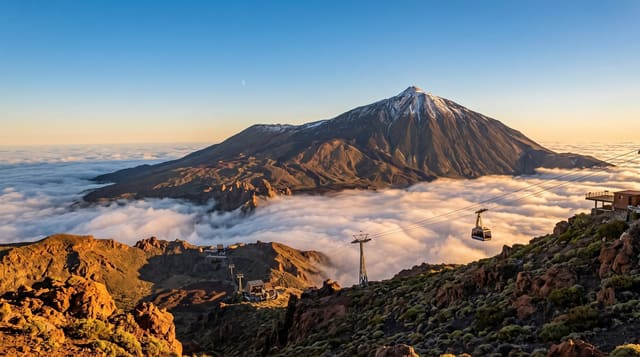
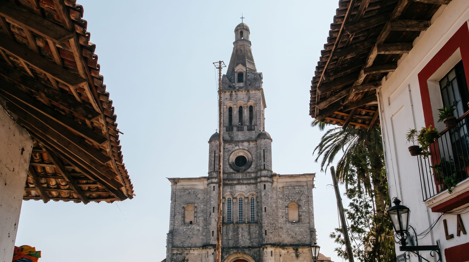
AI illustration
Garachico was the main port of Tenerife and the wealthiest town on the island until 5 May 1706, when the Trevejo volcano, also called Montana Negra, erupted and lava ran down through the town into the harbour, destroying part of it and filling the port that was its reason for existing. The town never recovered its position, but it rebuilt, and what the lava left has become its attraction: El Caleton, a set of natural pools in the hardened flow along the shore, filled and flushed by the sea and used for swimming. The sixteenth-century San Miguel castle survived because the lava split around it. The old quarter behind holds convents, a plaza with laurel trees and noble houses in dark volcanic stone. The town was founded after the conquest of Tenerife in 1496 by the Genoese banker Cristobal de Ponte, and it holds Spain's Gold Medal of Fine Arts.
What's there
- El Caleton - natural bathing pools in the hardened 1706 lava.
- San Miguel castle - a sixteenth-century fort the lava flowed around.
- The lava flow - the black rock that buried the harbour, still visible.
- The old quarter - convents and stone houses rebuilt after the eruption.
When to go
Year-round; northern Tenerife is mild but wetter than the south. The pools are usable when the sea is calm and closed in swell, which is frequent in winter. Summer weekends fill them.
Good to know
The pools close whenever the sea is rough, which happens often, and swimming is over sharp volcanic rock. Parking in the town is limited. The north coast is cloudier than the resorts in the south.
Nearby
Icod de los Vinos and its ancient dragon tree lie east; the Teno massif is west.
Key facts
Source: Wikidata, item Q612815, read on 18 October 2026.
What to pack for Garachico
Chosen from what this place is for. Tap a kit for the full checklist.
- Reef-safe sunscreen - High SPF that will not bleach the coral you are swimming over. Find on Amazon
- Comfortable walking shoes - Sightseeing means kilometres of pavement and cobbles daily. Find on Amazon
- Quick-dry towel - A microfibre towel packs small and dries in minutes. Find on Amazon
- A slim anti-theft daypack - Zips that close properly; keep it in front in crowds and on transit. Find on Amazon
Some links on this page are Amazon affiliate links - if you buy through them we may earn a small commission at no extra cost to you.
All packing kitsPlan your trip
Where to start if Garachico is going on the list.
Booking links on this page are affiliate links - if you book through them we may earn a small commission at no extra cost to you. It never changes what we write about a place.
Opening times, ticket prices and seasonal closures change - check the official source before you go: official site.