Didinga Hills
A green highland range in the southeast, home to the Didinga people.
Updated 16 October 2026
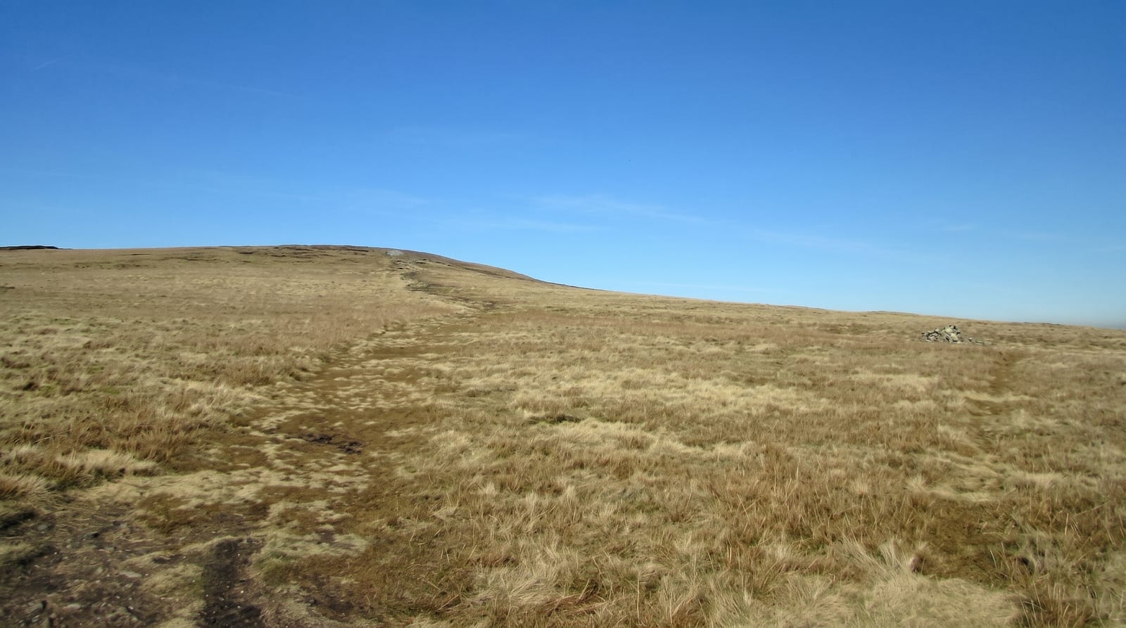
The Didinga hills rise in southeastern South Sudan, a range of green highland reaching over two thousand metres above the dry plains around it, terraced and farmed by the Didinga who grow sorghum, maize and tobacco on the slopes and keep cattle below. The altitude brings rain the plains do not get. Villages sit on the ridges and the country is among the greenest in the country. The Didinga are one of the smaller communities in the country and their language belongs to a different family from the Nilotic tongues around them.
Background
The Didinga Hills rise in Eastern Equatoria, mostly within Budi County. The Nakodok, Narus and Loyoro rivers spring on their eastern side and flow east into Greater Kapoeta, ending in swamps further northeast; they run in flood during the rains and stop at other times. In the dry season Toposa herders from Greater Kapoeta traditionally brought their cattle up to the hills for water and pasture, offering a gift in exchange for grazing rights. The village of Chukudum lies at the foot of the often cloud-wrapped mountains, reached only by a rough track.
Source: Wikipedia, "Didinga Hills"
Highlights
- The terraced slopes - the cultivation worked up the hillsides.
- The altitude - over two thousand metres above the dry plains.
- The Didinga villages - the settlements on the ridges.
- The green country - highland that catches rain the plains miss.
When to go
December to March is the dry season and the tracks are passable. The rains from April make access very difficult. The hills are green through most of the year.
Practical notes
Access needs guides, community permission and four wheel drive on very rough tracks. There is no infrastructure. Travel in this region requires arrangement well in advance.
Nearby
Kapoeta is northeast, and Mount Lotuke is south.
Key facts
Source: Wikidata, item Q940927, read on 18 October 2026.
What to pack for Didinga Hills
Chosen from what this place is for. Tap a kit for the full checklist.
- Broken-in walking shoes or boots - Grip and ankle support matter more than looks; never hike in brand-new boots. Find on Amazon
- Layers + a waterproof shell - Mountain weather turns fast; a packable rain jacket saves the day. Find on Amazon
- Daypack with rain cover - 20-30 litres holds water, snacks, layers and a first-aid kit. Find on Amazon
- Offline maps + a power bank - Download the trail before you lose signal; carry backup charge. Find on Amazon
Some links on this page are Amazon affiliate links - if you buy through them we may earn a small commission at no extra cost to you.
All packing kitsPlan your trip
Where to start if Didinga Hills is going on the list.
Booking links on this page are affiliate links - if you book through them we may earn a small commission at no extra cost to you. It never changes what we write about a place.
Opening times, ticket prices and seasonal closures change - check the official source before you go: official site.