Pendle Hill
A whaleback hill above the Ribble valley, tied to a 1612 trial and to the vision that began the Quaker movement.
Updated 4 September 2026
AI illustration
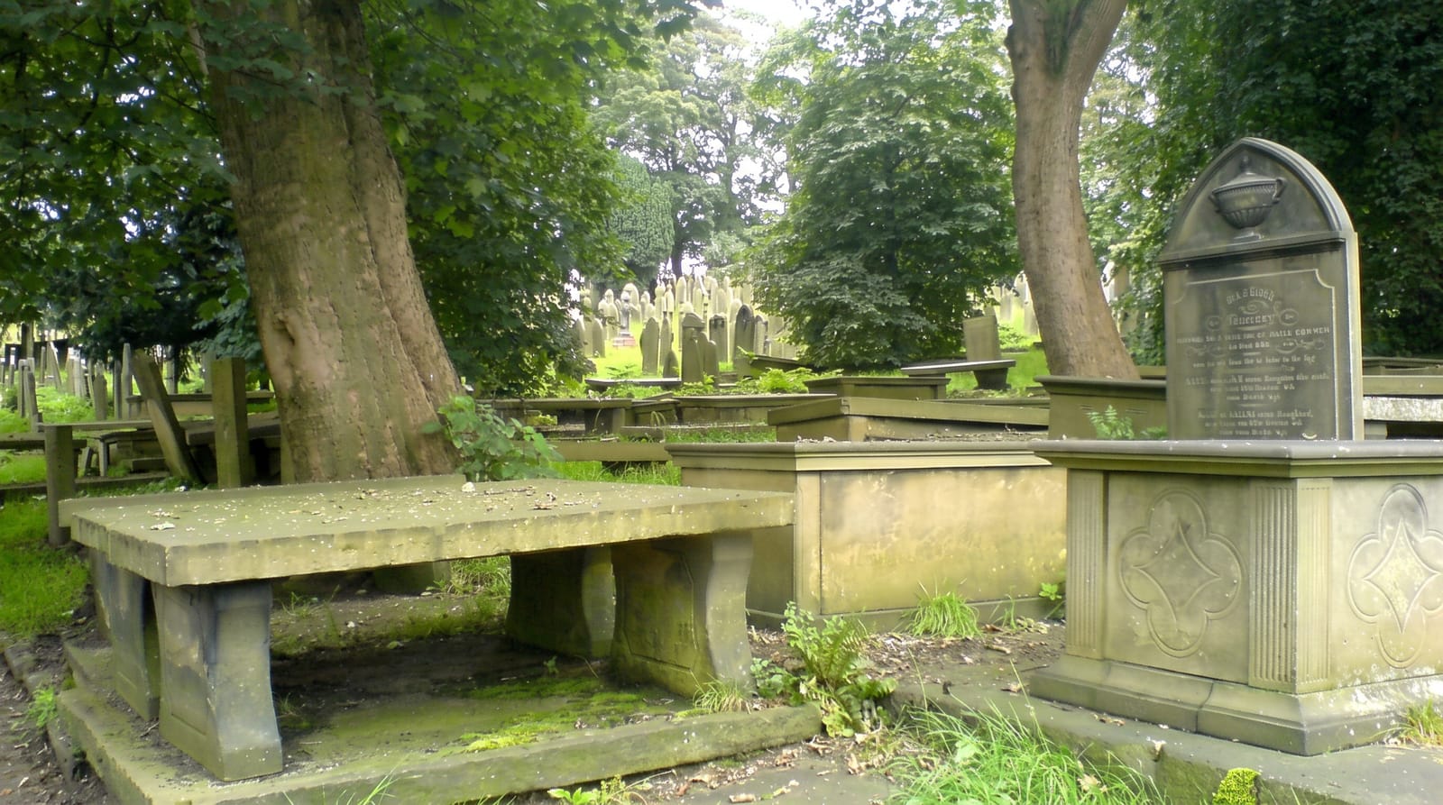
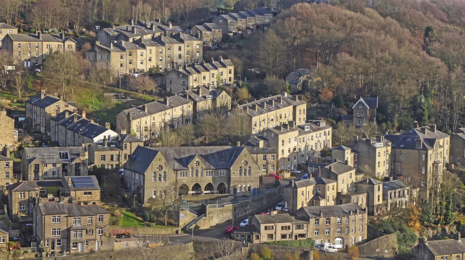
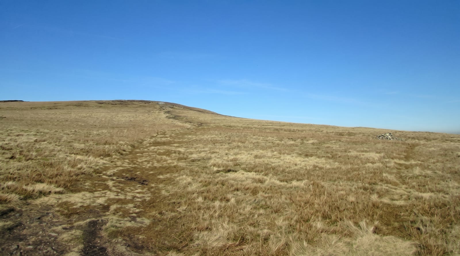
Pendle is a single ridge of gritstone rising to 557 metres, standing clear of the surrounding country so that it dominates the Ribble valley from every side. In 1612 twelve people from the villages around it were tried at Lancaster on charges of witchcraft in one of the best-documented English trials of its kind, largely because the court clerk published a full account; ten were executed, and the case has shaped the area's identity and tourism ever since, with a marked Pendle Witches trail through the villages. In 1652 George Fox climbed the hill and described a vision at the top of a great people to be gathered, which he took as the beginning of the Quaker movement; the ascent is still walked by Quakers. The Big End summit path from Barley is the standard route.
What you'll find
- The isolated ridge - a gritstone whaleback dominating the Ribble valley.
- The 1612 trial connection - villages and a marked trail tied to the case.
- The Fox summit - the top where the Quaker founder described his 1652 vision.
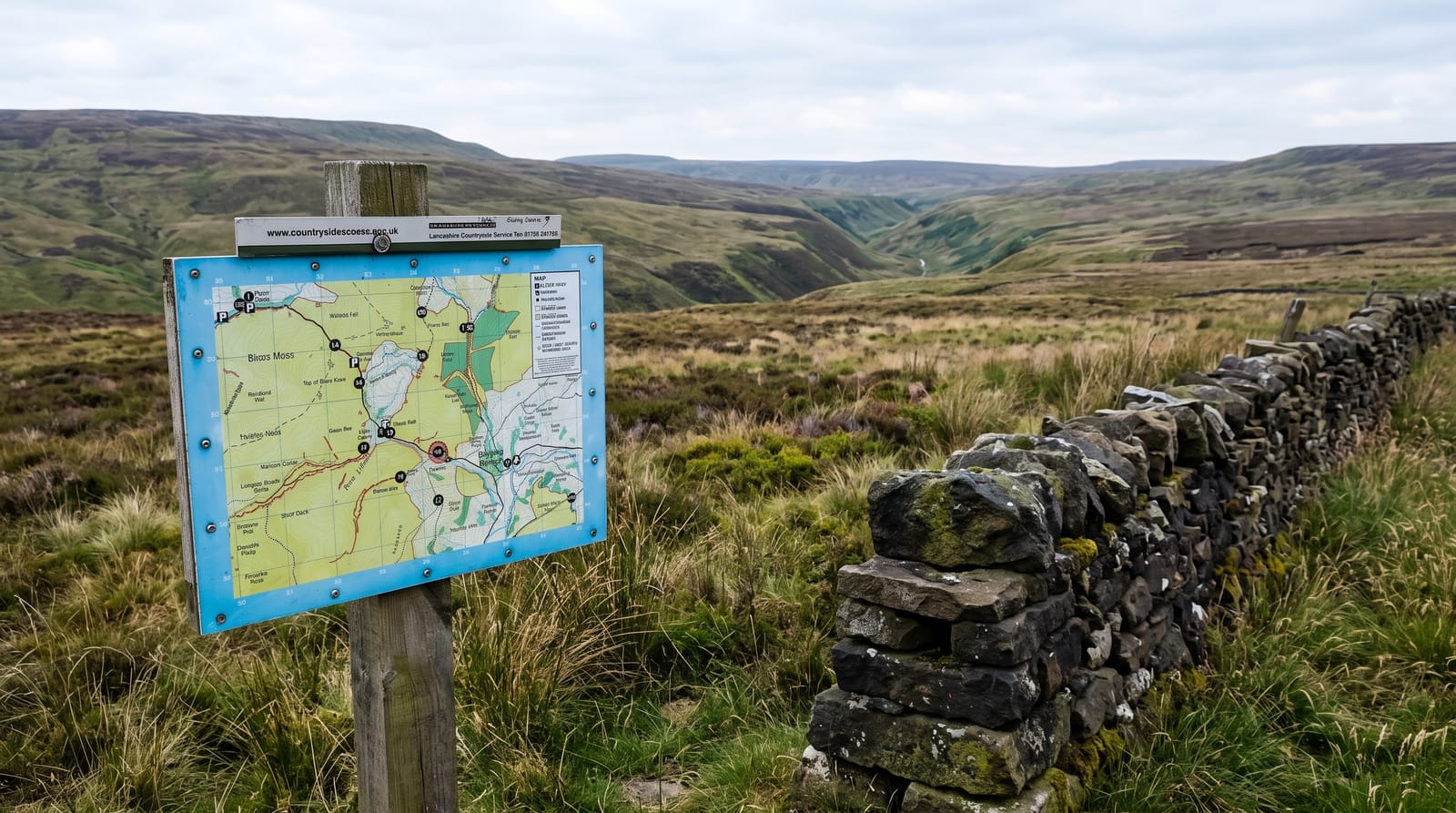
- The Barley route - a steep stepped climb of about three hundred metres.
When to go
April to October for the climb; Halloween brings very large numbers to the hill and the surrounding villages, and the path is congested. Clear winter days give the longest views over to the Dales and the Irish Sea.
Practical notes
The path from Barley is steep and stepped and gains three hundred metres quickly. The summit plateau is boggy and exposed with no shelter. Barley's car park is small and charged and fills at weekends. The witch trial is treated as tourism locally, which some visitors find uncomfortable given what happened.
Nearby
Clitheroe and its castle are close; the Forest of Bowland lies north.
Key facts
Source: Wikidata, item Q3374661, read on 18 October 2026.
What to pack for Pendle Hill
Chosen from what this place is for. Tap a kit for the full checklist.
- Broken-in walking shoes or boots - Grip and ankle support matter more than looks; never hike in brand-new boots. Find on Amazon
- Layers + a waterproof shell - Mountain weather turns fast; a packable rain jacket saves the day. Find on Amazon
- Daypack with rain cover - 20-30 litres holds water, snacks, layers and a first-aid kit. Find on Amazon
- Offline maps + a power bank - Download the trail before you lose signal; carry backup charge. Find on Amazon
Some links on this page are Amazon affiliate links - if you buy through them we may earn a small commission at no extra cost to you.
All packing kitsPlan your trip
Where to start if Pendle Hill is going on the list.
Booking links on this page are affiliate links - if you book through them we may earn a small commission at no extra cost to you. It never changes what we write about a place.
Opening times, ticket prices and seasonal closures change - check the official source before you go: official site.