Forest of Bowland
An upland of gritstone fells and deep cloughs in Lancashire, long closed to the public and still among the emptiest ground in England.
Updated 4 September 2026
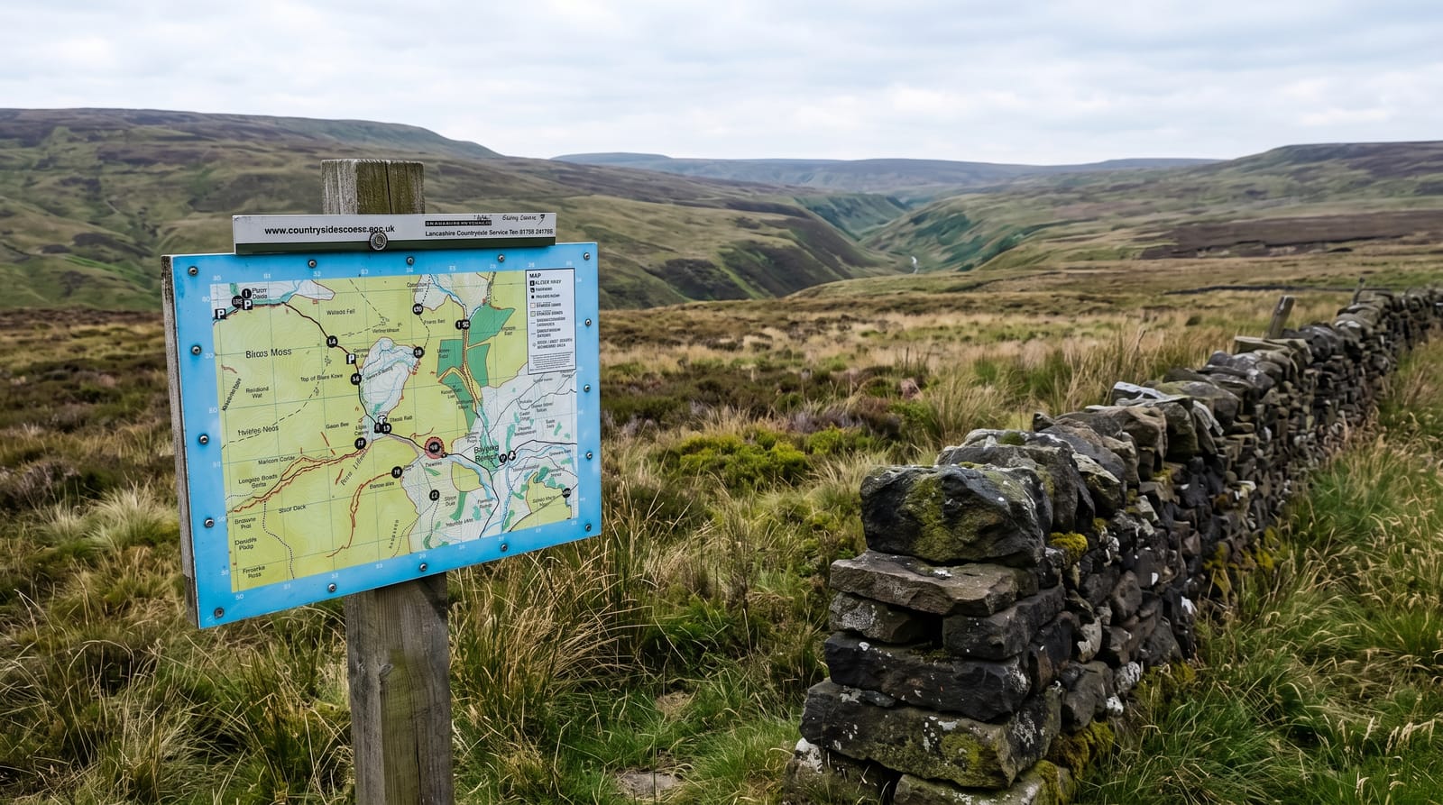
AI illustration
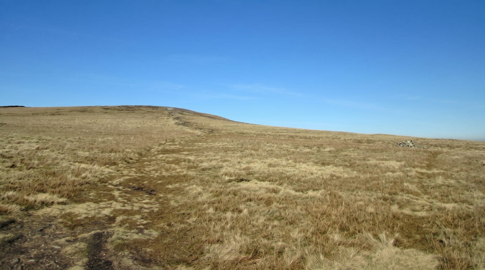
Bowland is around eight hundred square kilometres of blanket bog, heather moor and steep wooded cloughs rising to Ward's Stone at 561 metres. Forest here means a hunting reserve rather than trees; it was a royal chase and later private grouse moor, and access was refused so completely that it was among the last large upland areas in England opened to walkers, only after the 2000 access legislation took effect in 2005. Even now it receives a fraction of the visitors of the Dales next door. The hen harrier is the emblem of the area and Bowland has held most of England's breeding pairs in some years, though numbers have been very low. The Trough of Bowland is the road crossing between Dunsop Bridge and Lancaster, and Dunsop Bridge is often cited as close to the geographical centre of Great Britain.
Highlights
- The empty moor - upland that stayed closed to walkers until 2005.
- The Trough of Bowland - the narrow road crossing over the fells.
- The hen harriers - a species whose English breeding has centred on these moors.
- Dunsop Bridge - a village near the geographical centre of Great Britain.
When to go
April to October; heather colours the moor in August. Grouse shooting from mid-August can restrict some routes. The roads are narrow, unfenced and impassable in snow.
Before you go
There is very little infrastructure: few car parks, few marked paths, no visitor centres of note, and phone signal is poor. The moor is wet underfoot almost everywhere. Access land does not cover every fell and boundaries need checking on the map.
Nearby
Clitheroe and Pendle Hill lie south; the Yorkshire Dales are northeast.
Key facts
Source: Wikidata, item Q1406920, read on 18 October 2026.
What to pack for Forest of Bowland
Chosen from what this place is for. Tap a kit for the full checklist.
- Broken-in walking shoes or boots - Grip and ankle support matter more than looks; never hike in brand-new boots. Find on Amazon
- Warm base layers - Merino or synthetic against the skin - never cotton, which chills when damp. Find on Amazon
- Layers + a waterproof shell - Mountain weather turns fast; a packable rain jacket saves the day. Find on Amazon
- An insulated + windproof jacket - A down or synthetic layer under a hard shell handles most cold. Find on Amazon
Some links on this page are Amazon affiliate links - if you buy through them we may earn a small commission at no extra cost to you.
All packing kitsPlan your trip
Where to start if Forest of Bowland is going on the list.
Booking links on this page are affiliate links - if you book through them we may earn a small commission at no extra cost to you. It never changes what we write about a place.
Opening times, ticket prices and seasonal closures change - check the official source before you go: official site.