Mudeungsan National Park
The mountain over Gwangju, crowned by columnar rock pillars formed in a volcanic eruption and protected as a geopark.
Updated 21 October 2026
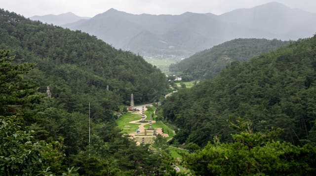
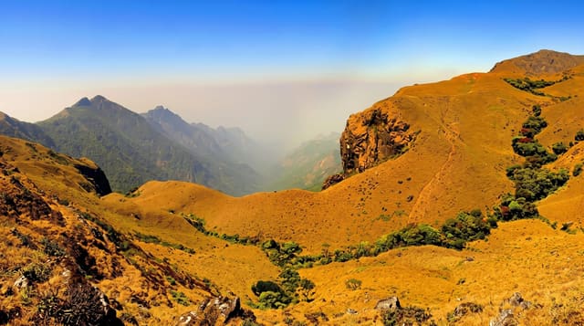
Mudeungsan rises to 1,187 metres directly behind Gwangju - close enough that city buses reach the trailheads - and after forty years as a provincial park from 1972 it was made the country's twenty-first national park at the end of 2012, and a UNESCO Global Geopark in 2018; the park covers about 75 square kilometres. The geology is what earned that: near the summit stand three groups of columnar joints, hexagonal rock pillars up to twenty metres tall formed when a lava flow cooled and cracked around eighty-five million years ago. Ipseokdae and Seoseokdae are the largest and are reachable on the main trails; Gyubong-am, a third group on a spur, sits beside a hermitage. The name means the mountain without equal, and the profile from the city is a long gentle dome that hides how rocky the top is. Jeungsimsa and Wonhyosa temples sit in the valleys, there is a tea plantation on the lower slopes at Chunseolheon, and the ridge walk between the summit areas is long and open.
Highlights
- Ipseokdae and Seoseokdae - the columnar rock pillars near the top.
- Gyubong-am - the third pillar group beside its hermitage.
- The temples - Jeungsimsa and Wonhyosa in the valleys.
- The city below - Gwangju spread out from the ridge.
When to go
April to June and October; azalea in spring and colour in autumn. Weekends bring the city out in numbers - the lower trails are busy.
What to expect
The summit area itself has restricted access for conservation and is opened only on set dates - most visitors reach the pillars but not the highest point. Climbs are long, four to six hours return. Free entry.
Nearby
Gwangju city is at the foot; Damyang's bamboo and metasequoia road are 30 minutes north.
Key facts
Source: Wikidata, item Q17413589, read on 18 October 2026.
What to pack for Mudeungsan National Park
Chosen from what this place is for. Tap a kit for the full checklist.
- Broken-in walking shoes or boots - Grip and ankle support matter more than looks; never hike in brand-new boots. Find on Amazon
- Binoculars - The single best wildlife tool - even a compact pair transforms a sighting. Find on Amazon
- Modest clothing - Shoulders and knees covered - the single most common requirement. Find on Amazon
- Layers + a waterproof shell - Mountain weather turns fast; a packable rain jacket saves the day. Find on Amazon
Some links on this page are Amazon affiliate links - if you buy through them we may earn a small commission at no extra cost to you.
All packing kitsPlan your trip
Where to start if Mudeungsan National Park is going on the list.
Booking links on this page are affiliate links - if you book through them we may earn a small commission at no extra cost to you. It never changes what we write about a place.
Opening times, ticket prices and seasonal closures change - check the official source before you go: official site.