Sila National Park
A high pine plateau in the middle of Calabria, with old-growth stands and some of the cleanest air measured in Europe.
Updated 16 October 2026
AI illustration
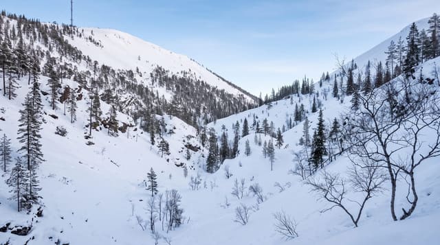
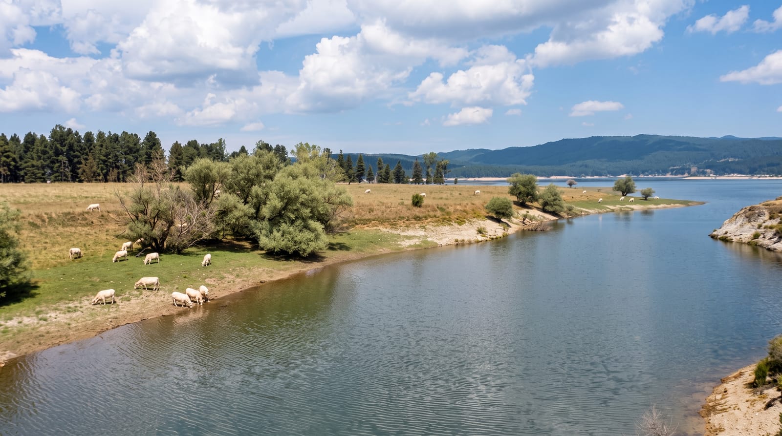
The Sila is a granite plateau mostly between twelve hundred and eighteen hundred metres, covered in Calabrian pine, a tall straight variety of black pine used for ship timber since antiquity; the Sila plateau supplied masts to Greek and Roman fleets. The park protects about seventy-four thousand hectares, including the Giganti della Sila, a reserve of pines over forty metres tall and around three hundred and fifty years old. Three large reservoirs, Cecita, Arvo and Ampollino, lie among the forests. Air quality measurements taken here have been reported among the best in Europe. Snow lies through winter and small ski areas operate.
Background
The park dates from 1997, and a regional decree of 14 November 2002 established it with its own management agency. It takes in land that once formed part of the Calabria National Park of 1968 and protects areas of Sila Grande, Sila Piccola and Sila Greca, a total of 736.95 square kilometres. The protected land spreads across 21 municipalities and 6 mountain communities in the Calabrian provinces of Cosenza, Catanzaro and Crotone. The two highest mountains are Mt. Botte Donato in Sila Grande, at 1,928 m, and Mt. Gariglione in Sila Piccola, at 1,764 m.
Source: Wikipedia, "Sila National Park"
Highlights
- The Giganti della Sila - old pines over forty metres tall in a small reserve.
- The plateau forests - Calabrian pine covering high granite ground.
- The reservoirs - three large lakes among the woods.
- The winter snow - a snowbound plateau with small ski areas.
When to go
June to September for walking and cool air; winter for snow. Spring is wet and muddy. The plateau is far cooler than the Calabrian coast in August.
Before you go
Public transport across the plateau is very limited. Trail signage is uneven. Facilities are concentrated in a few villages and thin elsewhere.
Nearby
Cosenza lies west; the Ionian coast is east.
Key facts
Source: Wikidata, item Q1091298, read on 18 October 2026.
What to pack for Sila National Park
Chosen from what this place is for. Tap a kit for the full checklist.
- Broken-in walking shoes or boots - Grip and ankle support matter more than looks; never hike in brand-new boots. Find on Amazon
- Binoculars - The single best wildlife tool - even a compact pair transforms a sighting. Find on Amazon
- Warm base layers - Merino or synthetic against the skin - never cotton, which chills when damp. Find on Amazon
- Layers + a waterproof shell - Mountain weather turns fast; a packable rain jacket saves the day. Find on Amazon
Some links on this page are Amazon affiliate links - if you buy through them we may earn a small commission at no extra cost to you.
All packing kitsPlan your trip
Where to start if Sila National Park is going on the list.
Booking links on this page are affiliate links - if you book through them we may earn a small commission at no extra cost to you. It never changes what we write about a place.
Opening times, ticket prices and seasonal closures change - check the official source before you go: official site.