Hallyeohaesang National Park
A marine park of islands, channels and headlands running along the south coast from Geoje to Yeosu.
Updated 21 October 2026
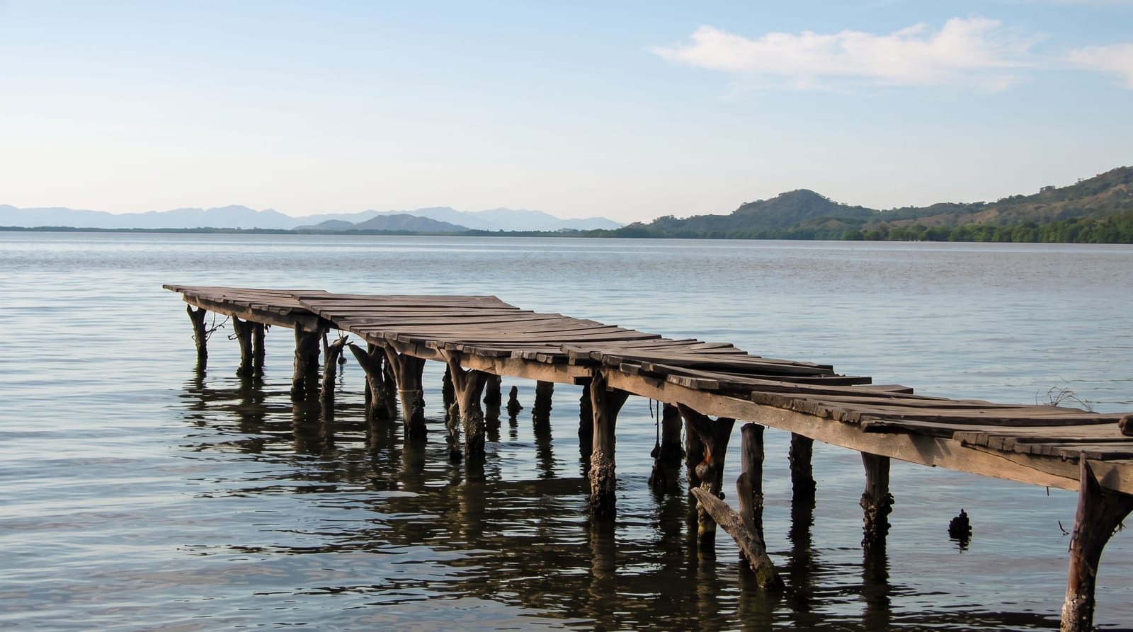
Hallyeohaesang was designated in 1968 as Korea's first marine national park, and it covers a long stretch of the south coast - Hallyeosudo, the sheltered waterway threading between hundreds of islands from Geoje west to Yeosu, plus the headlands and the islands themselves. It is not a single place but a region, and the way people see it is in pieces: the cable car and Dongpirang mural village at Tongyeong, boat trips out to Somaemuldo and Bijindo, the Oedo botanical island and Haegeumgang off Geoje, the German village and Gacheon Daraengi terraced fields on Namhae, the cable car and Odongdo at Yeosu. The water is calm because the islands break the swell, which is why this was historically the sheltered inland sea route along the coast. Ferries connect most of it. The park covers about 546 square kilometres, nearly three-quarters of it sea, with some 1,142 plant species, finless porpoises in the channels and the fairy pitta in the forests. Camellia and evergreen forest cover many of the islands, and the seafood - oysters at Tongyeong above all - is the other reason people come.
What's there
- The island channels - the sheltered Hallyeosudo waterway.
- The cable cars - Tongyeong and Yeosu over the water.
- The outer islands - Somaemuldo, Bijindo and Oedo by boat.
- Namhae's terraces - the Gacheon Daraengi fields on the slope.
When to go
April to June and September to October. Boats to the outer islands are weather-dependent and cancel in swell. Summer brings domestic holiday crowds to the coastal towns.
Practical notes
This is a scattered region, not one site - seeing it properly needs several days and a lot of ferries. Island boats cancel often. Bases are towns rather than park facilities.
Nearby
Tongyeong, Geoje, Namhae and Yeosu are the gateway towns; Busan is east.
Key facts
Source: Wikidata, item Q488070, read on 18 October 2026.
What to pack for Hallyeohaesang National Park
Chosen from what this place is for. Tap a kit for the full checklist.
- Broken-in walking shoes or boots - Grip and ankle support matter more than looks; never hike in brand-new boots. Find on Amazon
- Binoculars - The single best wildlife tool - even a compact pair transforms a sighting. Find on Amazon
- Layers + a waterproof shell - Mountain weather turns fast; a packable rain jacket saves the day. Find on Amazon
- A zoom camera or long lens - Animals rarely come close; reach beats megapixels. Find on Amazon
Some links on this page are Amazon affiliate links - if you buy through them we may earn a small commission at no extra cost to you.
All packing kitsPlan your trip
Where to start if Hallyeohaesang National Park is going on the list.
Booking links on this page are affiliate links - if you book through them we may earn a small commission at no extra cost to you. It never changes what we write about a place.
Opening times, ticket prices and seasonal closures change - check the official source before you go: official site.