Fagaloa Bay
A steep-sided bay on northeastern Upolu, one of the least developed parts of the island.
Updated 22 October 2026
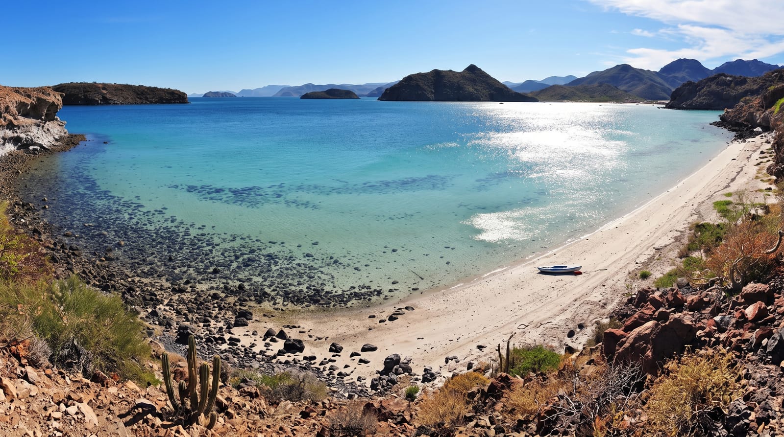
Fagaloa Bay cuts into the northeastern corner of Upolu between ridges that drop almost vertically into the water, and the villages along it are reached by a steep winding road that discouraged development for a long time. Forest runs down to the shore in places. The bay and the Uafato forest behind it are on Samoa's tentative list for World Heritage nomination, and the area is one of the most traditional parts of the country.
History
The bay figures in many Samoan myths; one tells of Ulualofaiga, of the line of the Tui Tonga, who sailed to Samoa in search of his sister and, after a time in Aana, came on to Fagaloa, the home of his ancestors. The bay lies in the district of Va'a-o-Fonoti (Wikipedia, Fagaloa Bay).
What you'll find
- The steep bay - ridges dropping almost vertically into the water on both sides.
- The shore villages - settlements reached by the winding road down.
- The forest - woodland running down to the water on the upper slopes.
- The tentative listing - the bay and Uafato proposed for World Heritage nomination.
When to go
May to October is the drier season. The road down is difficult after heavy rain. Cyclone season runs November to April.
Before you go
The road in is steep, narrow and rough. There are almost no facilities in the bay. Village protocols apply and permission matters for walking or swimming.
Nearby
Uafato is on the eastern side of the bay, and Apia is west.
Key facts
Source: Wikidata, item Q5429368, read on 18 October 2026.
What to pack for Fagaloa Bay
Chosen from what this place is for. Tap a kit for the full checklist.
- Broken-in walking shoes or boots - Grip and ankle support matter more than looks; never hike in brand-new boots. Find on Amazon
- Reef-safe sunscreen - High SPF that will not bleach the coral you are swimming over. Find on Amazon
- Layers + a waterproof shell - Mountain weather turns fast; a packable rain jacket saves the day. Find on Amazon
- Quick-dry towel - A microfibre towel packs small and dries in minutes. Find on Amazon
Some links on this page are Amazon affiliate links - if you buy through them we may earn a small commission at no extra cost to you.
All packing kitsPlan your trip
Where to start if Fagaloa Bay is going on the list.
Booking links on this page are affiliate links - if you book through them we may earn a small commission at no extra cost to you. It never changes what we write about a place.
Opening times, ticket prices and seasonal closures change - check the official source before you go: official site.