Bahia Concepcion
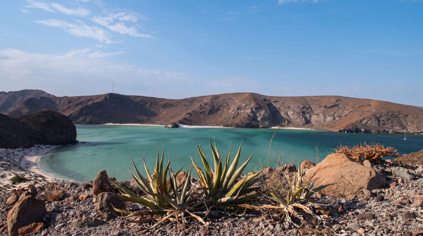
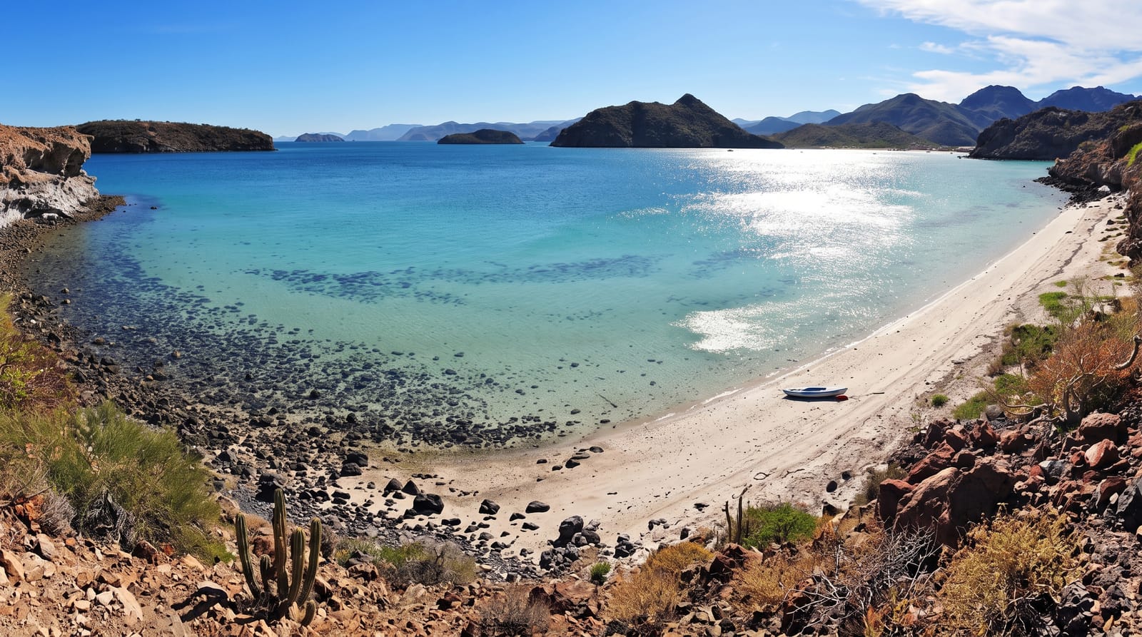
A string of white coves on turquoise water - the most photographed stretch of Baja's gulf coast, where the highway runs above beach after beach.
Updated 4 September 2026
AI illustration
Bahia Concepcion is a long, narrow bay sheltered behind a mountainous peninsula on the gulf side of Baja California Sur, and highway 1 runs along its western shore at a height that gives one of the great road views in Mexico: a sequence of white-sand coves, each backed by desert hills and filled with water in graded turquoises, one after another for some forty kilometres. The beaches are the destination - Santispac with its palapas and hot spring at the tideline, El Requeson where a sandbar links the shore to an islet at low tide and vanishes when it rises, Playa Coyote, Buenaventura, Armenta - all shallow, calm and warm enough to swim most of the year. The culture is camping: palapa shelters rented by the night for a few dollars, RVs and vans lined along the sand through winter, kayaks paddling out to the bay's islands, and clams dug on the flats. Facilities are minimal to nonexistent, phone signal is patchy, and that is precisely the arrangement everyone here came for.
What's there
- The cove sequence - white beaches down the bay from the highway.
- El Requeson - the sandbar to the islet at low tide.
- Santispac - palapas, kayaks and a shoreline hot spring.
- The desert hills - cardon and rock above turquoise water.
When to go
November to April for the camping season and mild water; summer is extremely hot with hurricane risk, and most palapas empty.
Good to know
Facilities are basic - bring water, food and shade; a few beaches have simple restaurants. Fees are collected per vehicle per night. Jellyfish and stingrays appear seasonally; shuffle your feet in the shallows.
Nearby
Mulege's oasis town lies north; Loreto and its marine park are ninety minutes south.
Key facts
Source: Wikidata, item Q4843102, read on 18 October 2026.
What to pack for Bahia Concepcion
Chosen from what this place is for. Tap a kit for the full checklist.
- Broken-in walking shoes or boots - Grip and ankle support matter more than looks; never hike in brand-new boots. Find on Amazon
- Reef-safe sunscreen - High SPF that will not bleach the coral you are swimming over. Find on Amazon
- Quick-dry clothing - Board shorts or synthetics that shrug off spray and dry fast. Find on Amazon
- Loose, light, long clothing - Covering up beats bare skin in the desert - and locals dress this way for a reason. Find on Amazon
Some links on this page are Amazon affiliate links - if you buy through them we may earn a small commission at no extra cost to you.
All packing kitsPlan your trip
Where to start if Bahia Concepcion is going on the list.
Booking links on this page are affiliate links - if you book through them we may earn a small commission at no extra cost to you. It never changes what we write about a place.
Opening times, ticket prices and seasonal closures change - check the official source before you go: official site.